
Andrews Dam Reservoir Report
Nearby: Markham Dam Duis Dam
Last Updated: December 6, 2025
Andrews Dam, located in Bedford, Virginia, is a privately owned structure primarily used for recreation purposes.
°F
°F
mph
Wind
%
Humidity
Summary
This earth dam stands at a height of 42 feet and stretches 247 feet in length, with a storage capacity of 136.25 acre-feet. The dam is regulated by the Virginia Department of Conservation and Recreation and undergoes regular inspections to ensure its safety and compliance with state regulations.
Although the hazard potential of Andrews Dam is currently listed as undetermined, its condition assessment remains unrated as of the last assessment in April 2014. The dam does not have an Emergency Action Plan (EAP) in place, nor has it been updated to meet current guidelines or include inundation maps. Despite these gaps in emergency preparedness, the dam continues to serve as a recreational resource for the local community, offering opportunities for outdoor activities and enjoyment.
As water resource and climate enthusiasts, keeping a close eye on the condition and management of dams like Andrews Dam is crucial for maintaining the safety and sustainability of our water infrastructure. By staying informed about the regulatory oversight and potential risks associated with structures like Andrews Dam, we can work towards ensuring the protection of our natural resources and the preservation of recreational opportunities for future generations.
Dam Length |
247 |
Dam Height |
42 |
Primary Dam Type |
Earth |
Surface Area |
6.55 |
Hydraulic Height |
42 |
Drainage Area |
0.24 |
Nid Storage |
136.25 |
Structural Height |
42 |
Hazard Potential |
Undetermined |
Nid Height |
42 |
Seasonal Comparison
Weather Forecast
Nearby Streamflow Levels
 Big Otter River Near Bedford
|
53cfs |
 Goose Creek Near Huddleston
|
58cfs |
 Big Otter River Near Evington
|
101cfs |
 James River At Holcomb Rock
|
1010cfs |
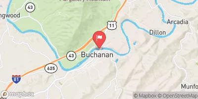 James River At Buchanan
|
657cfs |
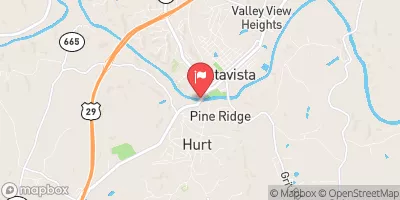 Roanoke River At Altavista
|
618cfs |
Dam Data Reference
Condition Assessment
SatisfactoryNo existing or potential dam safety deficiencies are recognized. Acceptable performance is expected under all loading conditions (static, hydrologic, seismic) in accordance with the minimum applicable state or federal regulatory criteria or tolerable risk guidelines.
Fair
No existing dam safety deficiencies are recognized for normal operating conditions. Rare or extreme hydrologic and/or seismic events may result in a dam safety deficiency. Risk may be in the range to take further action. Note: Rare or extreme event is defined by the regulatory agency based on their minimum
Poor A dam safety deficiency is recognized for normal operating conditions which may realistically occur. Remedial action is necessary. POOR may also be used when uncertainties exist as to critical analysis parameters which identify a potential dam safety deficiency. Investigations and studies are necessary.
Unsatisfactory
A dam safety deficiency is recognized that requires immediate or emergency remedial action for problem resolution.
Not Rated
The dam has not been inspected, is not under state or federal jurisdiction, or has been inspected but, for whatever reason, has not been rated.
Not Available
Dams for which the condition assessment is restricted to approved government users.
Hazard Potential Classification
HighDams assigned the high hazard potential classification are those where failure or mis-operation will probably cause loss of human life.
Significant
Dams assigned the significant hazard potential classification are those dams where failure or mis-operation results in no probable loss of human life but can cause economic loss, environment damage, disruption of lifeline facilities, or impact other concerns. Significant hazard potential classification dams are often located in predominantly rural or agricultural areas but could be in areas with population and significant infrastructure.
Low
Dams assigned the low hazard potential classification are those where failure or mis-operation results in no probable loss of human life and low economic and/or environmental losses. Losses are principally limited to the owner's property.
Undetermined
Dams for which a downstream hazard potential has not been designated or is not provided.
Not Available
Dams for which the downstream hazard potential is restricted to approved government users.
 Andrews Dam