


Nottely Dam Reservoir Report
Last Updated: April 26, 2026
°F
°F
mph
Wind
%
Humidity
Nottely Dam, also known as Nottely Lake, is a rockfill dam located in Blairsville, Georgia, along the Nottely River.
Summary
Built in 1942 by the Tennessee Valley Authority (TVA), this Federal-owned structure serves primarily for flood risk reduction, but also supports hydroelectric power generation, recreation, and water supply purposes. Standing at a height of 197 feet, with a hydraulic height of 183 feet and a length of 2300 feet, Nottely Dam has a storage capacity of 216,147 acre-feet and a surface area of 3970 acres.
With a maximum discharge capacity of 189,970 cubic feet per second, Nottely Dam features a controlled spillway with a width of 325 feet and vertical lift outlet gates. The dam is associated with two other structures (GA29101S001 and GA29101S002) and is within the jurisdiction of the Nashville District of the US Army Corps of Engineers. Despite being classified as having a high hazard potential, the condition assessment of Nottely Dam is currently not available, and its risk assessment is deemed very high (1). Emergency action plans are in place, although the details of their preparation and adherence to guidelines are not specified in the data.
Overall, Nottely Dam stands as a critical infrastructure in Union County, Georgia, playing a significant role in managing flood risks, providing essential services, and supporting various recreational activities. Its strategic location and design make it an essential asset in the region's water resource management and climate adaptation efforts, highlighting the importance of ongoing inspections, maintenance, and emergency preparedness to ensure its continued safety and functionality.
Regional Streamflow Levels
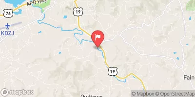 Nottely River Near Blairsville
|
75cfs |
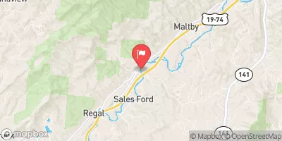 Valley River At Tomotla
|
130cfs |
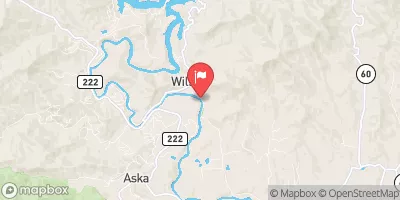 Toccoa River Near Dial
|
268cfs |
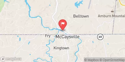 Ocoee River At Copperhill
|
301cfs |
 Chattahoochee River At Helen
|
74cfs |
 Cartecay River Near Ellijay
|
168cfs |
15-Day Long Term Forecast
Year Completed |
1942 |
Dam Length |
2300 |
Dam Height |
197 |
River Or Stream |
NOTTELY RIVER |
Primary Dam Type |
Rockfill |
Surface Area |
3970 |
Hydraulic Height |
183 |
Drainage Area |
214 |
Nid Storage |
216147 |
Structural Height |
197 |
Outlet Gates |
Vertical Lift |
Hazard Potential |
High |
Foundations |
Soil |
Nid Height |
197 |
Seasonal Comparison
5-Day Hourly Forecast Detail
Dam Data Reference
Condition Assessment
SatisfactoryNo existing or potential dam safety deficiencies are recognized. Acceptable performance is expected under all loading conditions (static, hydrologic, seismic) in accordance with the minimum applicable state or federal regulatory criteria or tolerable risk guidelines.
Fair
No existing dam safety deficiencies are recognized for normal operating conditions. Rare or extreme hydrologic and/or seismic events may result in a dam safety deficiency. Risk may be in the range to take further action. Note: Rare or extreme event is defined by the regulatory agency based on their minimum
Poor A dam safety deficiency is recognized for normal operating conditions which may realistically occur. Remedial action is necessary. POOR may also be used when uncertainties exist as to critical analysis parameters which identify a potential dam safety deficiency. Investigations and studies are necessary.
Unsatisfactory
A dam safety deficiency is recognized that requires immediate or emergency remedial action for problem resolution.
Not Rated
The dam has not been inspected, is not under state or federal jurisdiction, or has been inspected but, for whatever reason, has not been rated.
Not Available
Dams for which the condition assessment is restricted to approved government users.
Hazard Potential Classification
HighDams assigned the high hazard potential classification are those where failure or mis-operation will probably cause loss of human life.
Significant
Dams assigned the significant hazard potential classification are those dams where failure or mis-operation results in no probable loss of human life but can cause economic loss, environment damage, disruption of lifeline facilities, or impact other concerns. Significant hazard potential classification dams are often located in predominantly rural or agricultural areas but could be in areas with population and significant infrastructure.
Low
Dams assigned the low hazard potential classification are those where failure or mis-operation results in no probable loss of human life and low economic and/or environmental losses. Losses are principally limited to the owner's property.
Undetermined
Dams for which a downstream hazard potential has not been designated or is not provided.
Not Available
Dams for which the downstream hazard potential is restricted to approved government users.
Area Campgrounds
| Location | Reservations | Toilets |
|---|---|---|
 Poteete Creek
|
||
 Hanging Dog
|
||
 Morganton Point
|
||
 Morganton Point Campground
|
 Nottely Dam Road Union County