


Ripshin Lake Reservoir Report
Last Updated: April 28, 2026
Nearby: Miller Lake Odom Trout Lake
°F
°F
mph
Wind
%
Humidity
Located in Carter, Tennessee, Ripshin Lake is a private recreational facility nestled by Roaring Creek.
Summary
Built in 1946, this earth dam boasts a hydraulic height of 37.3 feet and a structural height of 44.3 feet, with a storage capacity of 911 acre-feet. The lake covers a surface area of 60 acres and serves as a popular spot for water resource and climate enthusiasts to explore and enjoy.
Managed by the Tennessee Safe Dams Program, Ripshin Lake is subject to state regulations, inspections, and enforcement. Despite its high hazard potential, the dam's condition is currently not rated. With a moderate risk assessment score of 3, the site continues to be monitored closely to ensure the safety and security of the surrounding community. While the dam does not have outlet gates or associated structures, it remains a key recreational attraction for visitors seeking outdoor adventures in the beautiful Tennessee landscape.
As an integral part of the local ecosystem, Ripshin Lake provides a vital resource for both recreational activities and water conservation efforts. With its rich history dating back to the mid-20th century, this picturesque water body continues to be a beacon for nature lovers and climate enthusiasts alike. Whether it's fishing, boating, or simply enjoying the serene surroundings, Ripshin Lake offers a unique opportunity to connect with nature and appreciate the importance of sustainable water management practices in maintaining our planet's precious resources.
Regional Streamflow Levels
 Doe River At Elizabethton
|
293cfs |
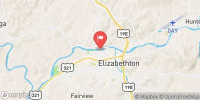 Watauga River At Elizabethton
|
378cfs |
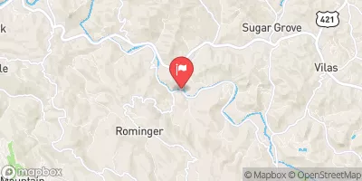 Watauga River Near Sugar Grove
|
60cfs |
 Nolichucky River At Embreeville
|
2020cfs |
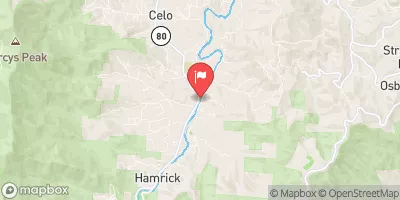 South Toe River Near Celo
|
49cfs |
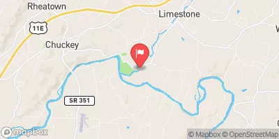 Big Limestone Creek Near Limestone
|
38cfs |
15-Day Long Term Forecast
Year Completed |
1946 |
Dam Length |
360 |
River Or Stream |
ROARING CREEK |
Primary Dam Type |
Earth |
Surface Area |
60 |
Hydraulic Height |
37.3 |
Drainage Area |
4.33 |
Nid Storage |
911 |
Structural Height |
44.3 |
Outlet Gates |
None |
Hazard Potential |
High |
Nid Height |
44 |
Seasonal Comparison
5-Day Hourly Forecast Detail
Dam Data Reference
Condition Assessment
SatisfactoryNo existing or potential dam safety deficiencies are recognized. Acceptable performance is expected under all loading conditions (static, hydrologic, seismic) in accordance with the minimum applicable state or federal regulatory criteria or tolerable risk guidelines.
Fair
No existing dam safety deficiencies are recognized for normal operating conditions. Rare or extreme hydrologic and/or seismic events may result in a dam safety deficiency. Risk may be in the range to take further action. Note: Rare or extreme event is defined by the regulatory agency based on their minimum
Poor A dam safety deficiency is recognized for normal operating conditions which may realistically occur. Remedial action is necessary. POOR may also be used when uncertainties exist as to critical analysis parameters which identify a potential dam safety deficiency. Investigations and studies are necessary.
Unsatisfactory
A dam safety deficiency is recognized that requires immediate or emergency remedial action for problem resolution.
Not Rated
The dam has not been inspected, is not under state or federal jurisdiction, or has been inspected but, for whatever reason, has not been rated.
Not Available
Dams for which the condition assessment is restricted to approved government users.
Hazard Potential Classification
HighDams assigned the high hazard potential classification are those where failure or mis-operation will probably cause loss of human life.
Significant
Dams assigned the significant hazard potential classification are those dams where failure or mis-operation results in no probable loss of human life but can cause economic loss, environment damage, disruption of lifeline facilities, or impact other concerns. Significant hazard potential classification dams are often located in predominantly rural or agricultural areas but could be in areas with population and significant infrastructure.
Low
Dams assigned the low hazard potential classification are those where failure or mis-operation results in no probable loss of human life and low economic and/or environmental losses. Losses are principally limited to the owner's property.
Undetermined
Dams for which a downstream hazard potential has not been designated or is not provided.
Not Available
Dams for which the downstream hazard potential is restricted to approved government users.
 Roan Mountain State Park
 Dennis Cove Campground
 Dennis Cove Rec Area
 Dennis Cove Recreation Area
 Upper Laurel Fork
 Mountain View Motorcycle Campground
 Watauga Reservoir To Tn/Nc State Line