


Cranberry Dam Reservoir Report
Last Updated: April 27, 2026
Nearby: Triangle Dam Snyder Pond Dam
°F
°F
mph
Wind
%
Humidity
Cranberry Dam, located in Elk Park, North Carolina, is a private earth dam primarily used for irrigation purposes along Cranberry Creek-Os.
Summary
The dam stands at a hydraulic height of 36.3 feet and a structural height of 58 feet, with a length of 408 feet. It has a maximum storage capacity of 44 acre-feet and normal storage of 7 acre-feet, covering a surface area of 0.5 acres. Although the dam is not state-regulated, it is subject to periodic inspections, with the last assessment conducted in April 2006 deeming its condition as satisfactory.
Despite its private ownership, Cranberry Dam poses a significant hazard potential due to its size and location. However, the dam's condition remains satisfactory, and it meets the guidelines for emergency action plans. While the dam has not undergone any significant modifications since its completion, it is crucial for stakeholders to continue monitoring and managing the risks associated with this structure to ensure the safety and integrity of the surrounding area. The dam's proximity to a residential community underscores the importance of proactive risk assessment and management measures.
In the realm of water resource and climate enthusiasts, Cranberry Dam serves as a focal point for understanding the intricate balance between human needs for irrigation and the potential environmental risks associated with dam infrastructure. As a key component of the local water management system, the dam's role in regulating water flow and storage demands careful attention to ensure sustainable resource use and mitigate potential hazards. Continued monitoring, inspection, and risk assessment efforts are vital to maintaining the dam's functionality while safeguarding the surrounding ecosystem and community from adverse impacts of a dam failure.
Regional Streamflow Levels
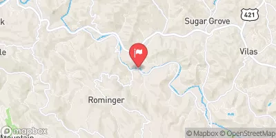 Watauga River Near Sugar Grove
|
65cfs |
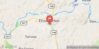 Doe River At Elizabethton
|
293cfs |
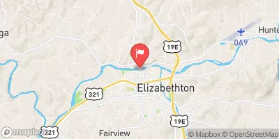 Watauga River At Elizabethton
|
378cfs |
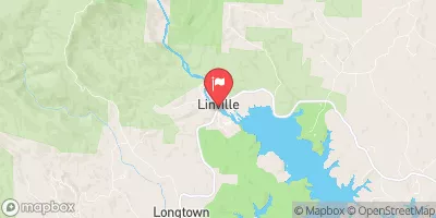 Linville River Near Nebo
|
58cfs |
 South Toe River Near Celo
|
49cfs |
 Yadkin River At Patterson
|
19cfs |
15-Day Long Term Forecast
Dam Length |
408 |
River Or Stream |
Cranberry Creek-Os |
Primary Dam Type |
Earth |
Surface Area |
0.5 |
Hydraulic Height |
36.3 |
Nid Storage |
44 |
Structural Height |
58 |
Hazard Potential |
Significant |
Nid Height |
58 |
Seasonal Comparison
5-Day Hourly Forecast Detail
Dam Data Reference
Condition Assessment
SatisfactoryNo existing or potential dam safety deficiencies are recognized. Acceptable performance is expected under all loading conditions (static, hydrologic, seismic) in accordance with the minimum applicable state or federal regulatory criteria or tolerable risk guidelines.
Fair
No existing dam safety deficiencies are recognized for normal operating conditions. Rare or extreme hydrologic and/or seismic events may result in a dam safety deficiency. Risk may be in the range to take further action. Note: Rare or extreme event is defined by the regulatory agency based on their minimum
Poor A dam safety deficiency is recognized for normal operating conditions which may realistically occur. Remedial action is necessary. POOR may also be used when uncertainties exist as to critical analysis parameters which identify a potential dam safety deficiency. Investigations and studies are necessary.
Unsatisfactory
A dam safety deficiency is recognized that requires immediate or emergency remedial action for problem resolution.
Not Rated
The dam has not been inspected, is not under state or federal jurisdiction, or has been inspected but, for whatever reason, has not been rated.
Not Available
Dams for which the condition assessment is restricted to approved government users.
Hazard Potential Classification
HighDams assigned the high hazard potential classification are those where failure or mis-operation will probably cause loss of human life.
Significant
Dams assigned the significant hazard potential classification are those dams where failure or mis-operation results in no probable loss of human life but can cause economic loss, environment damage, disruption of lifeline facilities, or impact other concerns. Significant hazard potential classification dams are often located in predominantly rural or agricultural areas but could be in areas with population and significant infrastructure.
Low
Dams assigned the low hazard potential classification are those where failure or mis-operation results in no probable loss of human life and low economic and/or environmental losses. Losses are principally limited to the owner's property.
Undetermined
Dams for which a downstream hazard potential has not been designated or is not provided.
Not Available
Dams for which the downstream hazard potential is restricted to approved government users.
Area Campgrounds
| Location | Reservations | Toilets |
|---|---|---|
 Mountain View Motorcycle Campground
|
||
 Mountaineer shelter
|
||
 Upper Laurel Fork
|
||
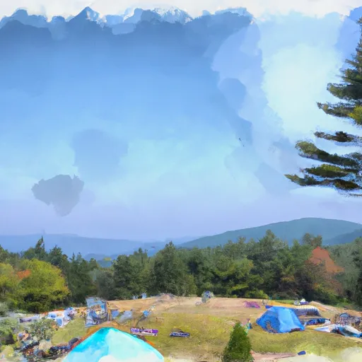 Roan Mountain State Park
|
||
 Attic Window
|
||
 Profile
|
 Watauga Reservoir To Tn/Nc State Line
 Headwaters Above Linville Gap To Blue Ridge Parkway Boundary