Chyle Dam Reservoir Report
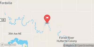
Nearby: Matejcek Dam Soukup Dam
Last Updated: December 8, 2025
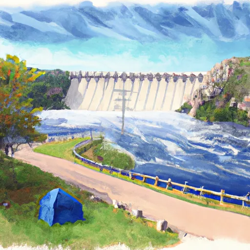
Chyle Dam, also known as N.Br.Forest R.#6, is a local government-owned dam located in Walsh County, North Dakota.
°F
°F
mph
Wind
%
Humidity
Summary
Built in 1966 by USDA NRCS, this earth dam stands at a height of 40.7 feet and has a structural height of 52 feet. Its primary purpose is flood risk reduction along the North Branch Forest River, with a storage capacity of 1470 acre-feet and a normal storage of 65.4 acre-feet.
The dam has a significant hazard potential and is regulated by the North Dakota State Water Commission (NDSWC), with state permitting, inspection, and enforcement in place. The spillway type is uncontrolled with a width of 160 feet, and there are no outlet gates or associated structures. Despite a condition assessment of "Not Rated," the dam's risk assessment is moderate (3), indicating the need for ongoing risk management measures to ensure its safety and functionality.
Chyle Dam plays a crucial role in managing flood risks in the area, protecting surrounding communities and infrastructure. With its strategic location and design, this dam stands as a vital component of water resource management in North Dakota, showcasing the collaborative efforts between local government and federal agencies to safeguard the region from potential water-related hazards.
Year Completed |
1966 |
Dam Length |
4383 |
Dam Height |
40.7 |
River Or Stream |
NORTH BRANCH FOREST RIVER |
Primary Dam Type |
Earth |
Surface Area |
11.7 |
Drainage Area |
5.9 |
Nid Storage |
1470 |
Structural Height |
52 |
Outlet Gates |
None |
Hazard Potential |
Significant |
Foundations |
Soil |
Nid Height |
52 |
Seasonal Comparison
Weather Forecast
Nearby Streamflow Levels
Dam Data Reference
Condition Assessment
SatisfactoryNo existing or potential dam safety deficiencies are recognized. Acceptable performance is expected under all loading conditions (static, hydrologic, seismic) in accordance with the minimum applicable state or federal regulatory criteria or tolerable risk guidelines.
Fair
No existing dam safety deficiencies are recognized for normal operating conditions. Rare or extreme hydrologic and/or seismic events may result in a dam safety deficiency. Risk may be in the range to take further action. Note: Rare or extreme event is defined by the regulatory agency based on their minimum
Poor A dam safety deficiency is recognized for normal operating conditions which may realistically occur. Remedial action is necessary. POOR may also be used when uncertainties exist as to critical analysis parameters which identify a potential dam safety deficiency. Investigations and studies are necessary.
Unsatisfactory
A dam safety deficiency is recognized that requires immediate or emergency remedial action for problem resolution.
Not Rated
The dam has not been inspected, is not under state or federal jurisdiction, or has been inspected but, for whatever reason, has not been rated.
Not Available
Dams for which the condition assessment is restricted to approved government users.
Hazard Potential Classification
HighDams assigned the high hazard potential classification are those where failure or mis-operation will probably cause loss of human life.
Significant
Dams assigned the significant hazard potential classification are those dams where failure or mis-operation results in no probable loss of human life but can cause economic loss, environment damage, disruption of lifeline facilities, or impact other concerns. Significant hazard potential classification dams are often located in predominantly rural or agricultural areas but could be in areas with population and significant infrastructure.
Low
Dams assigned the low hazard potential classification are those where failure or mis-operation results in no probable loss of human life and low economic and/or environmental losses. Losses are principally limited to the owner's property.
Undetermined
Dams for which a downstream hazard potential has not been designated or is not provided.
Not Available
Dams for which the downstream hazard potential is restricted to approved government users.
Area Campgrounds
| Location | Reservations | Toilets |
|---|---|---|
 Matejeck Dam Rec Area
|
||
 Fordville Dam and Rec Area
|
||
 Homme Dam Rec Area
|

 Chyle Dam
 County Road 14 Walsh County