


Caddo Council B.S.A. (Weir) Reservoir Report
Last Updated: April 15, 2026
Nearby: Ivey Lake Dam Lake Wilhelmina Dam
°F
°F
mph
Wind
%
Humidity
Caddo Council B.S.A.
Summary
Weir, also known as Camp Pioneer Dam, is a private recreational facility located in Polk, Arkansas along the Mountain Fork River. Completed in 1980, this earthen dam stands at 8 feet high and spans 150 feet in length, with a storage capacity of 72 acre-feet. Despite being privately owned and not regulated by the state, the dam is considered to have a low hazard potential and is currently not rated for its condition.
Situated within the Little Rock District of the US Army Corps of Engineers, Caddo Council B.S.A. Weir serves as a popular spot for outdoor activities and water recreation. With a surface area of 18 acres and a maximum discharge of 9999999 cubic feet per second, this dam provides a tranquil setting for campers and nature enthusiasts to enjoy the scenic beauty of the surrounding area. Although last inspected in 1990, the dam continues to offer a safe and enjoyable environment for visitors.
While lacking in certain regulatory measures and emergency preparedness assessments, Caddo Council B.S.A. Weir remains a beloved destination for water resource and climate enthusiasts seeking a peaceful retreat in the heart of Arkansas. Its historical significance as a recreational site for the Boy Scouts of America adds to its charm, making it a must-visit location for those looking to connect with nature and immerse themselves in the beauty of the Mountain Fork River.
Regional Streamflow Levels
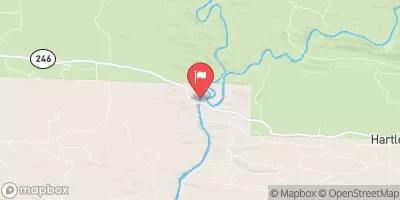 Cossatot River Near Vandervoort
|
44cfs |
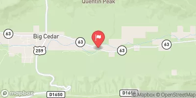 Kiamichi River Near Big Cedar
|
35cfs |
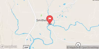 Mountain Fork At Smithville
|
139cfs |
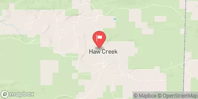 Black Fork Below Big Creek Nr Page
|
45cfs |
 Poteau River At Loving
|
140cfs |
 Poteau River At Cauthron
|
100cfs |
15-Day Long Term Forecast
Year Completed |
1980 |
Dam Length |
150 |
Dam Height |
8 |
River Or Stream |
MOUNTAIN FORK |
Primary Dam Type |
Earth |
Surface Area |
18 |
Nid Storage |
72 |
Hazard Potential |
Low |
Nid Height |
8 |
Seasonal Comparison
5-Day Hourly Forecast Detail
Dam Data Reference
Condition Assessment
SatisfactoryNo existing or potential dam safety deficiencies are recognized. Acceptable performance is expected under all loading conditions (static, hydrologic, seismic) in accordance with the minimum applicable state or federal regulatory criteria or tolerable risk guidelines.
Fair
No existing dam safety deficiencies are recognized for normal operating conditions. Rare or extreme hydrologic and/or seismic events may result in a dam safety deficiency. Risk may be in the range to take further action. Note: Rare or extreme event is defined by the regulatory agency based on their minimum
Poor A dam safety deficiency is recognized for normal operating conditions which may realistically occur. Remedial action is necessary. POOR may also be used when uncertainties exist as to critical analysis parameters which identify a potential dam safety deficiency. Investigations and studies are necessary.
Unsatisfactory
A dam safety deficiency is recognized that requires immediate or emergency remedial action for problem resolution.
Not Rated
The dam has not been inspected, is not under state or federal jurisdiction, or has been inspected but, for whatever reason, has not been rated.
Not Available
Dams for which the condition assessment is restricted to approved government users.
Hazard Potential Classification
HighDams assigned the high hazard potential classification are those where failure or mis-operation will probably cause loss of human life.
Significant
Dams assigned the significant hazard potential classification are those dams where failure or mis-operation results in no probable loss of human life but can cause economic loss, environment damage, disruption of lifeline facilities, or impact other concerns. Significant hazard potential classification dams are often located in predominantly rural or agricultural areas but could be in areas with population and significant infrastructure.
Low
Dams assigned the low hazard potential classification are those where failure or mis-operation results in no probable loss of human life and low economic and/or environmental losses. Losses are principally limited to the owner's property.
Undetermined
Dams for which a downstream hazard potential has not been designated or is not provided.
Not Available
Dams for which the downstream hazard potential is restricted to approved government users.
 Headwaters In Sec 8, T1S, R31W To Nf Boundary At Acorn, Ar