


Lee Creek Reservoir Report
Last Updated: April 24, 2026
Nearby: Montgomery Lake Dam Lake Lou Emma Dam
°F
°F
mph
Wind
%
Humidity
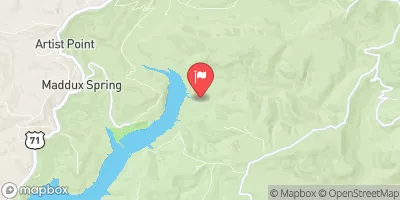
Lee Creek, located in Van Buren, Arkansas, is home to a gravity dam that was completed in 1992 for water supply purposes.
Summary
With a height of 48 feet and a storage capacity of 43,000 acre-feet, the dam serves multiple functions including fish and wildlife pond management, hydroelectric power generation, recreation, and water supply for the region. The dam spans 1372 feet and has a spillway width of 1000 feet, with a maximum discharge capacity of 319,284 cubic feet per second.
Managed by the Federal Energy Regulatory Commission, the Lee Creek dam has a high hazard potential and a moderate risk assessment rating. Although the condition assessment is not available, the dam undergoes inspections with a frequency of once a year to ensure its safety and structural integrity. The Emergency Action Plan for the dam was last revised in December 2020, highlighting the importance of preparedness for any potential emergencies or hazards that may arise in the area. Overall, Lee Creek dam plays a crucial role in water resource management and climate resilience efforts in Crawford County, Arkansas, making it a significant asset for enthusiasts in the field.
Regional Streamflow Levels
 Lee Creek Near Short
|
224cfs |
 Arkansas River At Ft. Smith
|
51100cfs |
 Lee Creek At Short
|
118cfs |
 Little Lee Creek Near Short
|
73cfs |
 James Fork Near Hackett
|
24cfs |
 Jack Creek Near Winfrey
|
3cfs |
15-Day Long Term Forecast
Year Completed |
1992 |
Dam Length |
1372 |
Dam Height |
48 |
River Or Stream |
Lee Creek, Arkansas River |
Primary Dam Type |
Gravity |
Surface Area |
634 |
Hydraulic Height |
28 |
Drainage Area |
436 |
Nid Storage |
43000 |
Structural Height |
48 |
Hazard Potential |
High |
Foundations |
Rock |
Nid Height |
48 |
Seasonal Comparison
5-Day Hourly Forecast Detail
Dam Data Reference
Condition Assessment
SatisfactoryNo existing or potential dam safety deficiencies are recognized. Acceptable performance is expected under all loading conditions (static, hydrologic, seismic) in accordance with the minimum applicable state or federal regulatory criteria or tolerable risk guidelines.
Fair
No existing dam safety deficiencies are recognized for normal operating conditions. Rare or extreme hydrologic and/or seismic events may result in a dam safety deficiency. Risk may be in the range to take further action. Note: Rare or extreme event is defined by the regulatory agency based on their minimum
Poor A dam safety deficiency is recognized for normal operating conditions which may realistically occur. Remedial action is necessary. POOR may also be used when uncertainties exist as to critical analysis parameters which identify a potential dam safety deficiency. Investigations and studies are necessary.
Unsatisfactory
A dam safety deficiency is recognized that requires immediate or emergency remedial action for problem resolution.
Not Rated
The dam has not been inspected, is not under state or federal jurisdiction, or has been inspected but, for whatever reason, has not been rated.
Not Available
Dams for which the condition assessment is restricted to approved government users.
Hazard Potential Classification
HighDams assigned the high hazard potential classification are those where failure or mis-operation will probably cause loss of human life.
Significant
Dams assigned the significant hazard potential classification are those dams where failure or mis-operation results in no probable loss of human life but can cause economic loss, environment damage, disruption of lifeline facilities, or impact other concerns. Significant hazard potential classification dams are often located in predominantly rural or agricultural areas but could be in areas with population and significant infrastructure.
Low
Dams assigned the low hazard potential classification are those where failure or mis-operation results in no probable loss of human life and low economic and/or environmental losses. Losses are principally limited to the owner's property.
Undetermined
Dams for which a downstream hazard potential has not been designated or is not provided.
Not Available
Dams for which the downstream hazard potential is restricted to approved government users.
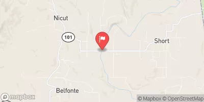
 Lee Creek At Lee Creek Reservoir Near Van Buren
 North Water Street 2885, Van Buren