Oknoname Ok13093 Dam

Oknoname Ok13093
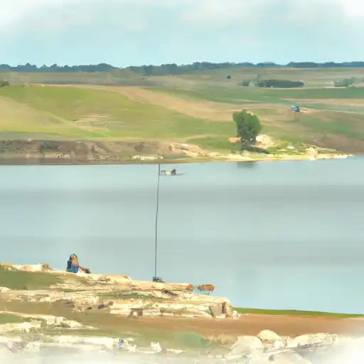
Oknoname Ok13093 is a privately owned dam located in Kay, Oklahoma, near the city of Blackwell. Built in 1940, this earth dam stands at a height of 20 feet with a hydraulic height of 18 feet, serving primarily for purposes classified as "Other." The dam has a storage capacity of 240 acre-feet and a normal storage level of 25 acre-feet, providing flood control for the TR-DOE CR river or stream.
Managed by the Oklahoma Water Resources Board (OWRB), Oknoname Ok13093 has a low hazard potential and is considered to have a very high risk assessment rating. The dam features a controlled spillway, one valve outlet gate, and has a maximum discharge capacity of 875 cubic feet per second. Although last inspected in 2011, with a scheduled inspection frequency of 5 years, the dam's condition assessment remains unrated. Despite its age, the dam continues to play a crucial role in water resource management and climate resilience efforts in the region.
With its historical significance and ongoing contributions to water management in the area, Oknoname Ok13093 stands as a testament to the importance of maintaining and monitoring our water infrastructure. As climate change continues to pose challenges to our water resources, the careful oversight and regulation of dams like Ok13093 are vital in ensuring the safety and sustainability of our communities. Through collaboration between private owners, state agencies, and federal regulators, this dam exemplifies the collective effort needed to safeguard our water supply for future generations.
Plan around the weather
Same NOAA / yr.no feed Snoflo's iOS app uses. Watch the precipitation column on the meteogram -- rain on the basin upstream typically lifts inflow 24-72 hours later.
Next 5 days, hour by hour
Temperature line with weather symbols on top, snow + rain accumulation as columns, humidity as a dotted line.
5-day forecast table
Every 3 hours, broken out across temperature, snow, rain, humidity, and wind. Each cell is colour-coded relative to the column min/max.
| Time | Condition | Temp (°F) | Snow (in) | Rain (in) | Humidity (%) | Wind (mps) | Wind dir |
|---|---|---|---|---|---|---|---|
| Loading detailed forecast… | |||||||
15-day temperature & precipitation
Daily temperatures, snow, and rain projected over the next two weeks.
Nearby streamflow gauges
USGS streamgauges around Oknoname Ok13093 -- inflows here typically show up in storage 24-72 hours later.
| Streamgauge | Discharge | View |
|---|---|---|
| Chikaskia River Near Blackwell | 173 cfs | → |
| Salt Fork Arkansas River At Tonkawa | 75 cfs | → |
| Arkansas R At Arkansas City | 1,340 cfs | → |
| Chikaskia R Nr Corbin | 103 cfs | → |
| Slate C At Wellington | 14 cfs | → |
| Walnut R At Winfield | 335 cfs | → |


About Oknoname Ok13093
Where does the data for Oknoname Ok13093 come from?
Structural and regulatory data come from the U.S. Army Corps of Engineers' National Inventory of Dams (NID). Weather forecast comes from NOAA / yr.no -- the same feed Snoflo's iOS app uses.
How often is the report updated?
NID structural data refreshes annually as the Corps publishes updated assessments. The weather forecast refreshes throughout the day.
What does the Low hazard rating mean?
The Corps of Engineers' hazard potential classification grades probable consequences if the dam fails: High = probable loss of human life; Significant = no probable loss of human life but possible economic loss / environmental damage; Low = no probable loss of human life, only minor economic / environmental losses. See the Dam Data Reference card below for the full definitions.
What's "% of normal"?
The current storage value compared to the historical average storage on this calendar day. 100% = right on average; values above 100% mean above-normal storage (wet year); values below mean below-normal (dry year or drought).
Can I get alerts when storage crosses a threshold?
Yes -- alerts are managed in the Snoflo iOS app. Favorite this dam, set a threshold, and you'll get a push the moment conditions cross.
Dam data reference
Condition Assessment
- Satisfactory
- No existing or potential dam safety deficiencies are recognized. Acceptable performance is expected under all loading conditions (static, hydrologic, seismic) in accordance with the minimum applicable state or federal regulatory criteria or tolerable risk guidelines.
- Fair
- No existing dam safety deficiencies are recognized for normal operating conditions. Rare or extreme hydrologic and/or seismic events may result in a dam safety deficiency. Risk may be in the range to take further action.
- Poor
- A dam safety deficiency is recognized for normal operating conditions which may realistically occur. Remedial action is necessary. POOR may also be used when uncertainties exist as to critical analysis parameters which identify a potential dam safety deficiency.
- Unsatisfactory
- A dam safety deficiency is recognized that requires immediate or emergency remedial action for problem resolution.
- Not Rated
- The dam has not been inspected, is not under state or federal jurisdiction, or has been inspected but, for whatever reason, has not been rated.
Hazard Potential Classification
- High
- Dams assigned the high hazard potential classification are those where failure or mis-operation will probably cause loss of human life.
- Significant
- Dams assigned the significant hazard potential classification are those dams where failure or mis-operation results in no probable loss of human life but can cause economic loss, environmental damage, disruption of lifeline facilities, or impact other concerns. Significant hazard potential classification dams are often located in predominantly rural or agricultural areas but could be in areas with population and significant infrastructure.
- Low
- Dams assigned the low hazard potential classification are those where failure or mis-operation results in no probable loss of human life and low economic and/or environmental losses. Losses are principally limited to the owner's property.
- Undetermined
- Dams for which a downstream hazard potential has not been designated or is not provided.