
Smith Marvin Reservoir Report
Nearby: Porum Eufaula Dam
Last Updated: January 12, 2026
Smith Marvin is a privately owned earth dam located on TR-Georges Fork CR in Muskogee, Oklahoma.
°F
°F
mph
Wind
%
Humidity
Summary
Completed in 1965, the dam stands at 35 feet high with a hydraulic height of 24 feet and a length of 500 feet. Its primary purpose is for irrigation, with a storage capacity of 138 acre-feet and a maximum discharge of 193 cubic feet per second.
Managed by the Oklahoma Water Resources Board, Smith Marvin is regulated, inspected, and enforced by the state. Despite being classified as a low hazard potential structure, it is considered to have a very high risk due to its condition assessment being not rated. The dam features a controlled spillway, one valve outlet gate, and has not been modified in recent years.
With Congressman Markwayne Mullin representing the district, Smith Marvin remains a crucial water resource for the area, providing irrigation support for agricultural activities. As climate change continues to impact water availability, it is essential to monitor and assess the condition of structures like Smith Marvin to ensure their safety and effectiveness in water management.
Year Completed |
1965 |
Dam Length |
500 |
Dam Height |
35 |
River Or Stream |
TR-GEORGES FORK CR |
Primary Dam Type |
Earth |
Hydraulic Height |
24 |
Nid Storage |
138 |
Structural Height |
35 |
Outlet Gates |
Valve - 1 |
Hazard Potential |
Low |
Foundations |
Soil |
Nid Height |
35 |
Seasonal Comparison
Weather Forecast
Nearby Streamflow Levels
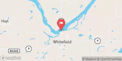 Canadian River Near Whitefield
|
49cfs |
 Illinois River Near Gore
|
88cfs |
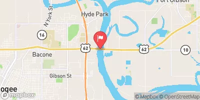 Arkansas River Near Muskogee
|
4710cfs |
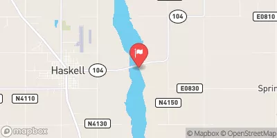 Arkansas River Near Haskell
|
2770cfs |
 Fourche Maline Near Red Oak
|
0cfs |
 Caney Creek Near Barber
|
15cfs |
Dam Data Reference
Condition Assessment
SatisfactoryNo existing or potential dam safety deficiencies are recognized. Acceptable performance is expected under all loading conditions (static, hydrologic, seismic) in accordance with the minimum applicable state or federal regulatory criteria or tolerable risk guidelines.
Fair
No existing dam safety deficiencies are recognized for normal operating conditions. Rare or extreme hydrologic and/or seismic events may result in a dam safety deficiency. Risk may be in the range to take further action. Note: Rare or extreme event is defined by the regulatory agency based on their minimum
Poor A dam safety deficiency is recognized for normal operating conditions which may realistically occur. Remedial action is necessary. POOR may also be used when uncertainties exist as to critical analysis parameters which identify a potential dam safety deficiency. Investigations and studies are necessary.
Unsatisfactory
A dam safety deficiency is recognized that requires immediate or emergency remedial action for problem resolution.
Not Rated
The dam has not been inspected, is not under state or federal jurisdiction, or has been inspected but, for whatever reason, has not been rated.
Not Available
Dams for which the condition assessment is restricted to approved government users.
Hazard Potential Classification
HighDams assigned the high hazard potential classification are those where failure or mis-operation will probably cause loss of human life.
Significant
Dams assigned the significant hazard potential classification are those dams where failure or mis-operation results in no probable loss of human life but can cause economic loss, environment damage, disruption of lifeline facilities, or impact other concerns. Significant hazard potential classification dams are often located in predominantly rural or agricultural areas but could be in areas with population and significant infrastructure.
Low
Dams assigned the low hazard potential classification are those where failure or mis-operation results in no probable loss of human life and low economic and/or environmental losses. Losses are principally limited to the owner's property.
Undetermined
Dams for which a downstream hazard potential has not been designated or is not provided.
Not Available
Dams for which the downstream hazard potential is restricted to approved government users.
Area Campgrounds
| Location | Reservations | Toilets |
|---|---|---|
 Porum Landing - Eufaula Lake
|
||
 Dam Site South - Eufaula Lake
|
||
 Brooken Cove - Eufaula Lake
|
||
 Belle Starr Park - Eufaula Lake
|
 Smith Marvin