
Oknoname 30044 Reservoir Report
Nearby: Oknoname 013014 Oknoname 013013
Last Updated: January 12, 2026
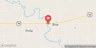
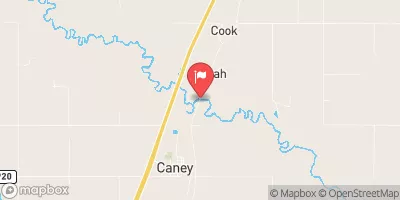
Oknoname 30044, located in YARNABY, Bryan County, Oklahoma, is a stone dam with a soil foundation that was completed in 2001 by USDA NRCS.
°F
°F
mph
Wind
%
Humidity
Summary
This dam, with a height of 20.32 meters and a storage capacity of 249.6 acre-feet, serves as a crucial water resource structure in the region. Situated on a minor tributary of the Red River, Oknoname 30044 plays a significant role in flood control and water storage for the surrounding area.
Managed by the Oklahoma Water Resources Board (OWRB), Oknoname 30044 is regulated and inspected by state authorities to ensure its safety and functionality. With a controlled spillway and low hazard potential, this dam has a very high risk assessment rating, highlighting the importance of proper maintenance and emergency preparedness. Despite not being rated for condition assessment, the dam continues to serve its primary purpose effectively, providing essential water management services for the community.
As a key water infrastructure owned by the local government, Oknoname 30044 underscores the vital role of dams in managing water resources and mitigating flood risks. With its strategic location and design features, this dam stands as a testament to the collaborative efforts of state agencies and designers in safeguarding water security and resilience in the face of changing climate patterns. For water resource and climate enthusiasts, Oknoname 30044 serves as a case study in sustainable water management practices and the critical importance of infrastructure investments for a secure water future.
Year Completed |
2001 |
Dam Length |
450 |
Dam Height |
20.32 |
River Or Stream |
MINOR TRIB. RED RIVER |
Surface Area |
18.4 |
Hydraulic Height |
18 |
Drainage Area |
450 |
Nid Storage |
249.6 |
Structural Height |
23.2 |
Hazard Potential |
Low |
Foundations |
Soil |
Nid Height |
23 |
Seasonal Comparison
Weather Forecast
Nearby Streamflow Levels
Dam Data Reference
Condition Assessment
SatisfactoryNo existing or potential dam safety deficiencies are recognized. Acceptable performance is expected under all loading conditions (static, hydrologic, seismic) in accordance with the minimum applicable state or federal regulatory criteria or tolerable risk guidelines.
Fair
No existing dam safety deficiencies are recognized for normal operating conditions. Rare or extreme hydrologic and/or seismic events may result in a dam safety deficiency. Risk may be in the range to take further action. Note: Rare or extreme event is defined by the regulatory agency based on their minimum
Poor A dam safety deficiency is recognized for normal operating conditions which may realistically occur. Remedial action is necessary. POOR may also be used when uncertainties exist as to critical analysis parameters which identify a potential dam safety deficiency. Investigations and studies are necessary.
Unsatisfactory
A dam safety deficiency is recognized that requires immediate or emergency remedial action for problem resolution.
Not Rated
The dam has not been inspected, is not under state or federal jurisdiction, or has been inspected but, for whatever reason, has not been rated.
Not Available
Dams for which the condition assessment is restricted to approved government users.
Hazard Potential Classification
HighDams assigned the high hazard potential classification are those where failure or mis-operation will probably cause loss of human life.
Significant
Dams assigned the significant hazard potential classification are those dams where failure or mis-operation results in no probable loss of human life but can cause economic loss, environment damage, disruption of lifeline facilities, or impact other concerns. Significant hazard potential classification dams are often located in predominantly rural or agricultural areas but could be in areas with population and significant infrastructure.
Low
Dams assigned the low hazard potential classification are those where failure or mis-operation results in no probable loss of human life and low economic and/or environmental losses. Losses are principally limited to the owner's property.
Undetermined
Dams for which a downstream hazard potential has not been designated or is not provided.
Not Available
Dams for which the downstream hazard potential is restricted to approved government users.
 Oknoname 30044
 Lk Bonham Nr Bonham