
Raymond Chambers Reservoir Report
Nearby: Scs-Roger Moore #1 Claudine Massey
Last Updated: January 11, 2026
Raymond Chambers, a private dam located in Eakly, Oklahoma, was designed by USDA NRCS and completed in 2003 for the primary purpose of flood risk reduction.
°F
°F
mph
Wind
%
Humidity
Summary
Situated along Cobb Creek, this earth dam stands at a height of 25.9 feet and spans a length of 555 feet, with a storage capacity of 191.62 acre-feet and a drainage area of 1408 acres. Despite being a low hazard potential structure, Raymond Chambers has a very high risk assessment rating, indicating the need for vigilant monitoring and maintenance.
Owned privately and regulated by the Oklahoma Water Resources Board, Raymond Chambers is subject to state jurisdiction and enforcement, with permitting and inspection requirements in place. The dam features a controlled spillway and a single valve outlet gate, with a condition assessment of "Not Rated" as of the last inspection in 2003. While the risk management measures and emergency preparedness status of Raymond Chambers are not specified in the available data, its critical role in flood risk reduction for the surrounding area highlights the importance of continued monitoring and assessment to ensure its effectiveness and safety.
For water resource and climate enthusiasts, Raymond Chambers offers a unique case study in dam infrastructure and management, showcasing the collaborative efforts of private ownership and state regulation in safeguarding against flood risks. With its strategic location in Caddo County and the involvement of USDA NRCS in its design, this earth dam serves as a key component in the flood mitigation strategy for the region. As climate change continues to pose challenges to water resource management, structures like Raymond Chambers play a crucial role in protecting communities and ecosystems from the impacts of extreme weather events, underscoring the importance of sustainable infrastructure and risk assessment methodologies in adapting to a changing climate.
Year Completed |
2003 |
Dam Length |
555 |
Dam Height |
25.9 |
River Or Stream |
COBB CREEK |
Primary Dam Type |
Earth |
Surface Area |
3.3 |
Hydraulic Height |
25.9 |
Drainage Area |
1408 |
Nid Storage |
191.62 |
Structural Height |
25.9 |
Outlet Gates |
Valve - 1 |
Hazard Potential |
Low |
Foundations |
Soil |
Nid Height |
26 |
Seasonal Comparison
Weather Forecast
Nearby Streamflow Levels
 Lake Creek Near Eakly
|
5cfs |
 Cobb Creek Near Eakly
|
18cfs |
 Willow Creek Near Albert
|
1cfs |
 Cobb Creek Near Fort Cobb
|
2cfs |
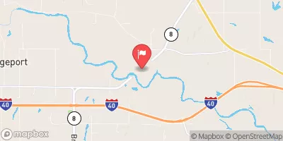 Canadian River At Bridgeport
|
164cfs |
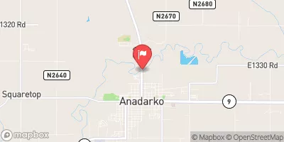 Washita River At Anadarko
|
140cfs |
Dam Data Reference
Condition Assessment
SatisfactoryNo existing or potential dam safety deficiencies are recognized. Acceptable performance is expected under all loading conditions (static, hydrologic, seismic) in accordance with the minimum applicable state or federal regulatory criteria or tolerable risk guidelines.
Fair
No existing dam safety deficiencies are recognized for normal operating conditions. Rare or extreme hydrologic and/or seismic events may result in a dam safety deficiency. Risk may be in the range to take further action. Note: Rare or extreme event is defined by the regulatory agency based on their minimum
Poor A dam safety deficiency is recognized for normal operating conditions which may realistically occur. Remedial action is necessary. POOR may also be used when uncertainties exist as to critical analysis parameters which identify a potential dam safety deficiency. Investigations and studies are necessary.
Unsatisfactory
A dam safety deficiency is recognized that requires immediate or emergency remedial action for problem resolution.
Not Rated
The dam has not been inspected, is not under state or federal jurisdiction, or has been inspected but, for whatever reason, has not been rated.
Not Available
Dams for which the condition assessment is restricted to approved government users.
Hazard Potential Classification
HighDams assigned the high hazard potential classification are those where failure or mis-operation will probably cause loss of human life.
Significant
Dams assigned the significant hazard potential classification are those dams where failure or mis-operation results in no probable loss of human life but can cause economic loss, environment damage, disruption of lifeline facilities, or impact other concerns. Significant hazard potential classification dams are often located in predominantly rural or agricultural areas but could be in areas with population and significant infrastructure.
Low
Dams assigned the low hazard potential classification are those where failure or mis-operation results in no probable loss of human life and low economic and/or environmental losses. Losses are principally limited to the owner's property.
Undetermined
Dams for which a downstream hazard potential has not been designated or is not provided.
Not Available
Dams for which the downstream hazard potential is restricted to approved government users.
Area Campgrounds
| Location | Reservations | Toilets |
|---|---|---|
 Avery Landing
|
||
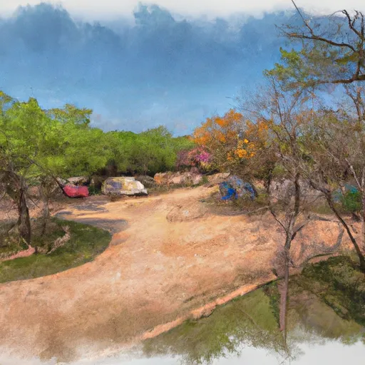 Blackjack Campground
|
||
 Fort Cobb - Area 1
|
||
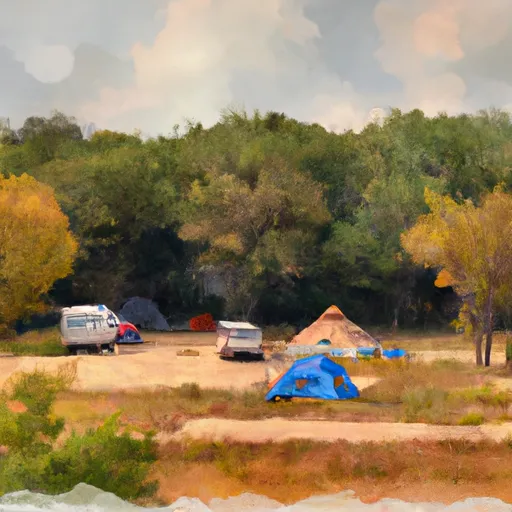 Tent Hill Campground
|
||
 Fort Cobb - Area 2
|
||
 Deer Run Campground
|
 Raymond Chambers
 Fort Cobb Reservoir Near Fort Cobb