


Elm Fork Ws Scs Site 9 Dam Reservoir Report
Last Updated: May 4, 2026
°F
°F
mph
Wind
%
Humidity
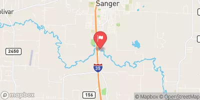
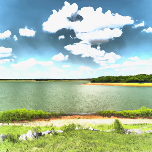
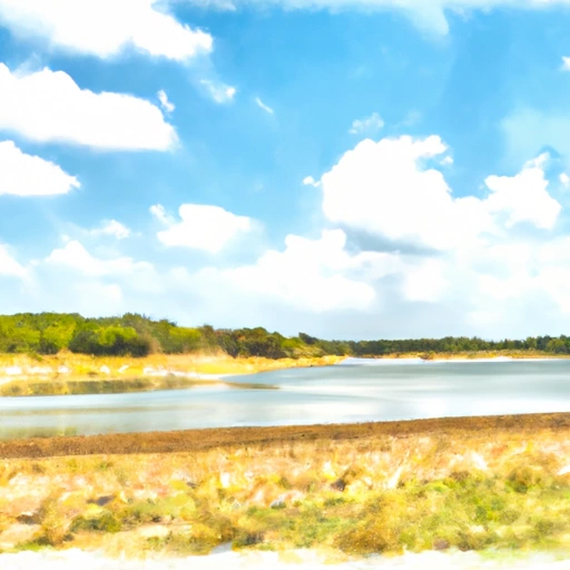
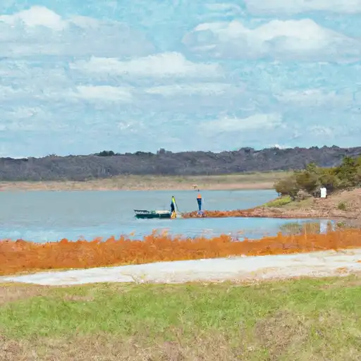
Elm Fork WS SCS Site 9 Dam, located in Cooke County, Texas, is a vital structure designed by the USDA NRCS to address flood risk reduction along Montague Creek.
Summary
Completed in 1960, this earth dam stands at a height of 36 feet and spans a length of 2950 feet, providing a storage capacity of 2774 acre-feet. With a primary purpose of flood risk reduction, the dam also serves recreational purposes for the local community.
Managed by the local government and regulated by the Texas Commission on Environmental Quality (TCEQ), Elm Fork WS SCS Site 9 Dam has been inspected regularly to ensure its structural integrity. The dam's condition is currently assessed as fair, with a moderate risk rating of 3. With a spillway width of 123 feet and a maximum discharge capacity of 1910 cubic feet per second, the dam plays a crucial role in managing water flow during periods of high precipitation in the region.
Despite the dam's fair condition assessment, ongoing risk management measures are in place to ensure the safety of surrounding communities. With a focus on flood risk reduction and recreation, Elm Fork WS SCS Site 9 Dam remains a significant infrastructure project in Cooke County, Texas, highlighting the importance of sustainable water resource management in the face of changing climate patterns.
Regional Streamflow Levels
15-Day Long Term Forecast
Year Completed |
1960 |
Dam Length |
2950 |
Dam Height |
36 |
River Or Stream |
MONTAGUE CREEK |
Primary Dam Type |
Earth |
Surface Area |
48 |
Hydraulic Height |
36 |
Drainage Area |
5.5 |
Nid Storage |
2774 |
Structural Height |
36 |
Outlet Gates |
Slide (sluice gate) - 1, Uncontrolled - 2 |
Hazard Potential |
Not Available |
Foundations |
Rock, Soil |
Nid Height |
36 |
Seasonal Comparison
5-Day Hourly Forecast Detail
Dam Data Reference
Condition Assessment
SatisfactoryNo existing or potential dam safety deficiencies are recognized. Acceptable performance is expected under all loading conditions (static, hydrologic, seismic) in accordance with the minimum applicable state or federal regulatory criteria or tolerable risk guidelines.
Fair
No existing dam safety deficiencies are recognized for normal operating conditions. Rare or extreme hydrologic and/or seismic events may result in a dam safety deficiency. Risk may be in the range to take further action. Note: Rare or extreme event is defined by the regulatory agency based on their minimum
Poor A dam safety deficiency is recognized for normal operating conditions which may realistically occur. Remedial action is necessary. POOR may also be used when uncertainties exist as to critical analysis parameters which identify a potential dam safety deficiency. Investigations and studies are necessary.
Unsatisfactory
A dam safety deficiency is recognized that requires immediate or emergency remedial action for problem resolution.
Not Rated
The dam has not been inspected, is not under state or federal jurisdiction, or has been inspected but, for whatever reason, has not been rated.
Not Available
Dams for which the condition assessment is restricted to approved government users.
Hazard Potential Classification
HighDams assigned the high hazard potential classification are those where failure or mis-operation will probably cause loss of human life.
Significant
Dams assigned the significant hazard potential classification are those dams where failure or mis-operation results in no probable loss of human life but can cause economic loss, environment damage, disruption of lifeline facilities, or impact other concerns. Significant hazard potential classification dams are often located in predominantly rural or agricultural areas but could be in areas with population and significant infrastructure.
Low
Dams assigned the low hazard potential classification are those where failure or mis-operation results in no probable loss of human life and low economic and/or environmental losses. Losses are principally limited to the owner's property.
Undetermined
Dams for which a downstream hazard potential has not been designated or is not provided.
Not Available
Dams for which the downstream hazard potential is restricted to approved government users.
 Johnson Branch - Roberts Lake State Park
 Texoma Marina
 Sheppard AFB Military - Lake Texoma
 Isle du Bois - Roberts Lake State Park
 Walnut Creek Resort
 Cedar Bayou Marina - Lake Texoma
 Moss Lk Nr Gainesville
 Ray Roberts Lk Nr Pilot Point
 Lk Nocona Nr Nocona
 Randell Lk Nr Denison
 Lake Texoma Near Denison
 Lk Amon G Carter Nr Bowie
 Farm to Market Road 1201 8900, Gainesville
 Lake Ray Roberts
 Lake Nocona
 Clear Lake: (940) 627-5475
 Lake Lewisville
 Lake Amon G. Carter