


Pat Mayse Dam Reservoir Report
Last Updated: April 27, 2026
Nearby: Hidden Lake Dam Goodine Odis
°F
°F
mph
Wind
%
Humidity
Pat Mayse Dam, also known as Pat Mayse Lake, is a Federal-owned structure located in Lamar County, Texas.
Summary
Completed in 1967, this earth-type dam stands at a height of 96 feet and has a volume of 5,580,000 cubic yards. Its primary purpose is flood risk reduction, with additional functions for recreation and water supply. The dam's spillway type is uncontrolled, with a spillway width of 100 feet and a hazard potential classified as high.
The dam's risk assessment, conducted by the US Army Corps of Engineers, identified potential issues such as erosion from water flow over the spillway and embankment erosion due to water seepage. In the event of a breach, downstream areas, particularly Arthur City, TX, could face flooding and economic impacts. To mitigate these risks, the USACE implements various measures, including emergency exercises with local responders, regular updates to the Emergency Action Plan, and continuous monitoring and maintenance of the dam's integrity.
Overall, Pat Mayse Dam is a crucial infrastructure for flood control in the region, with risk management measures in place to ensure its safety and functionality. Climate and water resource enthusiasts can appreciate the complex engineering and proactive strategies employed to protect downstream communities and maintain the dam's integrity in the face of potential hazards.
Regional Streamflow Levels
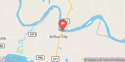 Red River At Arthur City
|
9620cfs |
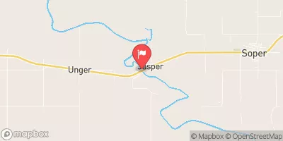 Muddy Boggy Creek Near Unger
|
3740cfs |
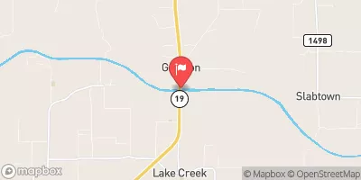 N Sulphur Rv Nr Cooper
|
15cfs |
 Kiamichi River Near Antlers
|
1120cfs |
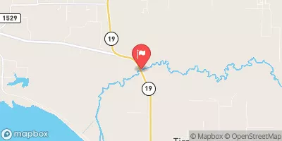 S Sulphur Rv Nr Cooper
|
5cfs |
 Muddy Boggy Creek Near Farris
|
1910cfs |
15-Day Long Term Forecast
Year Completed |
1967 |
Dam Length |
7080 |
Dam Height |
96 |
River Or Stream |
SANDERS CREEK |
Primary Dam Type |
Earth |
Surface Area |
5993 |
Hydraulic Height |
92 |
Drainage Area |
175 |
Nid Storage |
457800 |
Structural Height |
96 |
Outlet Gates |
Uncontrolled - 0 |
Hazard Potential |
High |
Foundations |
Rock, Soil |
Nid Height |
96 |
Seasonal Comparison
5-Day Hourly Forecast Detail
Dam Data Reference
Condition Assessment
SatisfactoryNo existing or potential dam safety deficiencies are recognized. Acceptable performance is expected under all loading conditions (static, hydrologic, seismic) in accordance with the minimum applicable state or federal regulatory criteria or tolerable risk guidelines.
Fair
No existing dam safety deficiencies are recognized for normal operating conditions. Rare or extreme hydrologic and/or seismic events may result in a dam safety deficiency. Risk may be in the range to take further action. Note: Rare or extreme event is defined by the regulatory agency based on their minimum
Poor A dam safety deficiency is recognized for normal operating conditions which may realistically occur. Remedial action is necessary. POOR may also be used when uncertainties exist as to critical analysis parameters which identify a potential dam safety deficiency. Investigations and studies are necessary.
Unsatisfactory
A dam safety deficiency is recognized that requires immediate or emergency remedial action for problem resolution.
Not Rated
The dam has not been inspected, is not under state or federal jurisdiction, or has been inspected but, for whatever reason, has not been rated.
Not Available
Dams for which the condition assessment is restricted to approved government users.
Hazard Potential Classification
HighDams assigned the high hazard potential classification are those where failure or mis-operation will probably cause loss of human life.
Significant
Dams assigned the significant hazard potential classification are those dams where failure or mis-operation results in no probable loss of human life but can cause economic loss, environment damage, disruption of lifeline facilities, or impact other concerns. Significant hazard potential classification dams are often located in predominantly rural or agricultural areas but could be in areas with population and significant infrastructure.
Low
Dams assigned the low hazard potential classification are those where failure or mis-operation results in no probable loss of human life and low economic and/or environmental losses. Losses are principally limited to the owner's property.
Undetermined
Dams for which a downstream hazard potential has not been designated or is not provided.
Not Available
Dams for which the downstream hazard potential is restricted to approved government users.
 Sanders Cove - Pat Mayse Lake
 Sanders Cove Campground
 Pat Mayse East - Pat Mayse Lake
 Pat Mayse East
 Pat Mayse West - Pat Mayse Lake
 Pat Mayse West
 Pat Mayse Lk Nr Chicota
 Lk Crook Nr Paris