Pat Mayse Lk Nr Chicota Reservoir Report
Nearby: Hidden Lake Dam Lamar Lake Dam
Last Updated: February 23, 2026
Pat Mayse Lake is a man-made reservoir situated in the Red River Basin in Texas, with a capacity of over 250,000 acre-feet.
Summary
The lake was created in 1969 by the construction of the Pat Mayse Dam on Chicota Creek, a tributary of the Red River. The primary purpose of the lake is to control flooding in the Red River Basin, but it also serves as a source of drinking water and a popular recreational area. The hydrology of Pat Mayse Lake is influenced by precipitation, snowpack, and surface water flow from Chicota Creek. The lake is used for fishing, boating, and camping, and the surrounding area is a popular spot for hunting and wildlife viewing. The lake also supports agricultural activities, including irrigation and livestock grazing.
°F
°F
mph
Wind
%
Humidity
15-Day Weather Outlook
Reservoir Details
| Lake Or Reservoir Water Surface Elevation Above Ngvd 1929, Ft 24hr Change | -0.02% |
| Percent of Normal | 100% |
| Minimum |
448.11 ft
2022-10-22 |
| Maximum |
461.17 ft
2018-03-02 |
| Average | 452 ft |
| Dam_Height | 96 |
| Hydraulic_Height | 92 |
| Drainage_Area | 175 |
| Year_Completed | 1967 |
| Nid_Storage | 457800 |
| Structural_Height | 96 |
| River_Or_Stream | SANDERS CREEK |
| Foundations | Rock, Soil |
| Surface_Area | 5993 |
| Hazard_Potential | High |
| Outlet_Gates | Uncontrolled - 0 |
| Dam_Length | 7080 |
| Primary_Dam_Type | Earth |
| Nid_Height | 96 |
Seasonal Comparison
Lake Or Reservoir Water Surface Elevation Above Ngvd 1929, Ft Levels
5-Day Hourly Forecast Detail
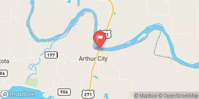
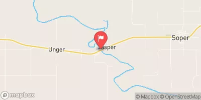
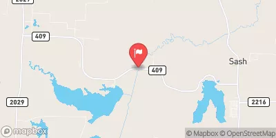
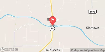
Nearby Streamflow Levels
Dam Data Reference
Condition Assessment
SatisfactoryNo existing or potential dam safety deficiencies are recognized. Acceptable performance is expected under all loading conditions (static, hydrologic, seismic) in accordance with the minimum applicable state or federal regulatory criteria or tolerable risk guidelines.
Fair
No existing dam safety deficiencies are recognized for normal operating conditions. Rare or extreme hydrologic and/or seismic events may result in a dam safety deficiency. Risk may be in the range to take further action. Note: Rare or extreme event is defined by the regulatory agency based on their minimum
Poor A dam safety deficiency is recognized for normal operating conditions which may realistically occur. Remedial action is necessary. POOR may also be used when uncertainties exist as to critical analysis parameters which identify a potential dam safety deficiency. Investigations and studies are necessary.
Unsatisfactory
A dam safety deficiency is recognized that requires immediate or emergency remedial action for problem resolution.
Not Rated
The dam has not been inspected, is not under state or federal jurisdiction, or has been inspected but, for whatever reason, has not been rated.
Not Available
Dams for which the condition assessment is restricted to approved government users.
Hazard Potential Classification
HighDams assigned the high hazard potential classification are those where failure or mis-operation will probably cause loss of human life.
Significant
Dams assigned the significant hazard potential classification are those dams where failure or mis-operation results in no probable loss of human life but can cause economic loss, environment damage, disruption of lifeline facilities, or impact other concerns. Significant hazard potential classification dams are often located in predominantly rural or agricultural areas but could be in areas with population and significant infrastructure.
Low
Dams assigned the low hazard potential classification are those where failure or mis-operation results in no probable loss of human life and low economic and/or environmental losses. Losses are principally limited to the owner's property.
Undetermined
Dams for which a downstream hazard potential has not been designated or is not provided.
Not Available
Dams for which the downstream hazard potential is restricted to approved government users.

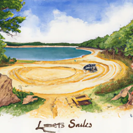 Sanders Cove - Pat Mayse Lake
 Sanders Cove Campground
 Pat Mayse East - Pat Mayse Lake
 Pat Mayse East
 Pat Mayse West - Pat Mayse Lake
 Pat Mayse West
 Pat Mayse Dam
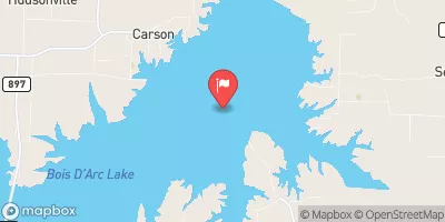
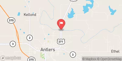
 Pat Mayse Lk Nr Chicota
 Lk Crook Nr Paris