Moores Hollow Reservoir Report
Nearby: Scott Creek Love Reservoir (Malheur)
Last Updated: December 24, 2025
Moores Hollow in Malheur County, Oregon, is a privately owned irrigation facility managed by the USDA NRCS.
°F
°F
mph
Wind
%
Humidity
Summary
Completed in 1964, this dam serves multiple purposes, including irrigation and creating a fish and wildlife pond. With a storage capacity of 1,241 acre-feet, Moores Hollow plays a crucial role in water management in the region.
Located in Huntington, Oregon, along the Moores Hollow river stream, this dam stands at a height of 35 feet, with a significant hazard potential. While the condition assessment of the dam is currently unavailable, its role in supporting agricultural activities and wildlife habitat underscores its importance in the local ecosystem. With its strategic location and purpose, Moores Hollow is a vital resource for water resource and climate enthusiasts interested in sustainable water management practices.
Despite limited information on its current condition and inspection frequency, Moores Hollow stands as a testament to the collaborative efforts between private owners and federal agencies in ensuring water security and wildlife conservation. As climate change continues to impact water resources, understanding and protecting facilities like Moores Hollow becomes increasingly critical for maintaining a resilient and sustainable water infrastructure in Malheur County and beyond.
Year Completed |
1964 |
Dam Height |
35 |
River Or Stream |
Moores Hollow |
Nid Storage |
1241 |
Hazard Potential |
Significant |
Nid Height |
35 |
Seasonal Comparison
Weather Forecast
Nearby Streamflow Levels
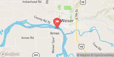 Snake River At Weiser Id
|
14300cfs |
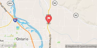 Payette River Nr Payette Id
|
4100cfs |
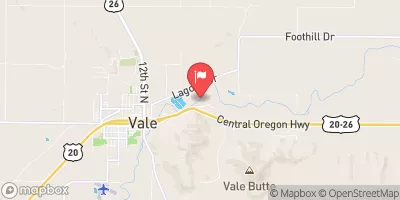 Malheur River Below Nevada Dam Near Vale Or
|
163cfs |
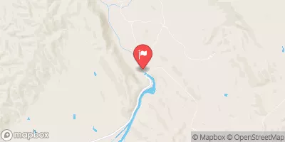 Weiser River Nr Weiser Id
|
1800cfs |
 Crane Creek At Mouth Nr Weiser Id
|
20cfs |
 Snake River At Nyssa Or
|
8400cfs |
Dam Data Reference
Condition Assessment
SatisfactoryNo existing or potential dam safety deficiencies are recognized. Acceptable performance is expected under all loading conditions (static, hydrologic, seismic) in accordance with the minimum applicable state or federal regulatory criteria or tolerable risk guidelines.
Fair
No existing dam safety deficiencies are recognized for normal operating conditions. Rare or extreme hydrologic and/or seismic events may result in a dam safety deficiency. Risk may be in the range to take further action. Note: Rare or extreme event is defined by the regulatory agency based on their minimum
Poor A dam safety deficiency is recognized for normal operating conditions which may realistically occur. Remedial action is necessary. POOR may also be used when uncertainties exist as to critical analysis parameters which identify a potential dam safety deficiency. Investigations and studies are necessary.
Unsatisfactory
A dam safety deficiency is recognized that requires immediate or emergency remedial action for problem resolution.
Not Rated
The dam has not been inspected, is not under state or federal jurisdiction, or has been inspected but, for whatever reason, has not been rated.
Not Available
Dams for which the condition assessment is restricted to approved government users.
Hazard Potential Classification
HighDams assigned the high hazard potential classification are those where failure or mis-operation will probably cause loss of human life.
Significant
Dams assigned the significant hazard potential classification are those dams where failure or mis-operation results in no probable loss of human life but can cause economic loss, environment damage, disruption of lifeline facilities, or impact other concerns. Significant hazard potential classification dams are often located in predominantly rural or agricultural areas but could be in areas with population and significant infrastructure.
Low
Dams assigned the low hazard potential classification are those where failure or mis-operation results in no probable loss of human life and low economic and/or environmental losses. Losses are principally limited to the owner's property.
Undetermined
Dams for which a downstream hazard potential has not been designated or is not provided.
Not Available
Dams for which the downstream hazard potential is restricted to approved government users.

 Moores Hollow