


Sullivan Pond Dam Reservoir Report
Last Updated: May 2, 2026
°F
°F
mph
Wind
%
Humidity
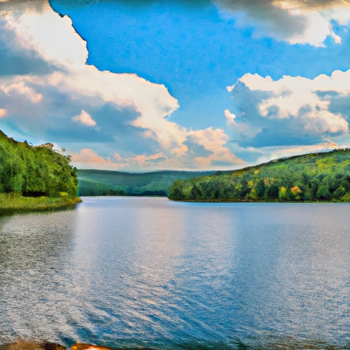
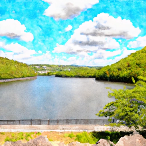
Sullivan Pond Dam, located in Mount Airy, New Jersey, is a private-owned earth dam completed in 1959 with a primary purpose of recreation.
Summary
Standing at a height of 18.5 feet and a length of 220 feet, the dam has a storage capacity of 76 acre-feet and covers a surface area of 6 acres. The dam regulates the flow of the Alexauken Creek-TR and is under the jurisdiction of the New Jersey Department of Environmental Protection for regulation, permitting, inspection, and enforcement.
Despite being classified as having a high hazard potential, Sullivan Pond Dam is assessed to be in fair condition as of September 2021. The dam has a two-year inspection frequency and has not been modified since its completion. With a maximum discharge capacity of 2200 cubic feet per second, the dam poses a potential risk in case of a breach or failure. Emergency action plans have been prepared in the past, although they may need to be updated to meet current guidelines.
Ensuring the safety and integrity of Sullivan Pond Dam is crucial for protecting the surrounding community and the environment. Regular inspections, maintenance, and adherence to safety protocols are essential to mitigate the risk associated with the dam. As a key recreational asset in the area, the dam serves as a popular destination for water resource and climate enthusiasts to enjoy outdoor activities and wildlife habitat along the Alexauken Creek-TR.
Regional Streamflow Levels

15-Day Long Term Forecast
Year Completed |
1959 |
Dam Length |
220 |
Dam Height |
18.5 |
River Or Stream |
Alexauken Creek-TR |
Primary Dam Type |
Earth |
Surface Area |
6 |
Drainage Area |
1.3 |
Nid Storage |
76 |
Hazard Potential |
High |
Nid Height |
19 |
Seasonal Comparison
5-Day Hourly Forecast Detail
Dam Data Reference
Condition Assessment
SatisfactoryNo existing or potential dam safety deficiencies are recognized. Acceptable performance is expected under all loading conditions (static, hydrologic, seismic) in accordance with the minimum applicable state or federal regulatory criteria or tolerable risk guidelines.
Fair
No existing dam safety deficiencies are recognized for normal operating conditions. Rare or extreme hydrologic and/or seismic events may result in a dam safety deficiency. Risk may be in the range to take further action. Note: Rare or extreme event is defined by the regulatory agency based on their minimum
Poor A dam safety deficiency is recognized for normal operating conditions which may realistically occur. Remedial action is necessary. POOR may also be used when uncertainties exist as to critical analysis parameters which identify a potential dam safety deficiency. Investigations and studies are necessary.
Unsatisfactory
A dam safety deficiency is recognized that requires immediate or emergency remedial action for problem resolution.
Not Rated
The dam has not been inspected, is not under state or federal jurisdiction, or has been inspected but, for whatever reason, has not been rated.
Not Available
Dams for which the condition assessment is restricted to approved government users.
Hazard Potential Classification
HighDams assigned the high hazard potential classification are those where failure or mis-operation will probably cause loss of human life.
Significant
Dams assigned the significant hazard potential classification are those dams where failure or mis-operation results in no probable loss of human life but can cause economic loss, environment damage, disruption of lifeline facilities, or impact other concerns. Significant hazard potential classification dams are often located in predominantly rural or agricultural areas but could be in areas with population and significant infrastructure.
Low
Dams assigned the low hazard potential classification are those where failure or mis-operation results in no probable loss of human life and low economic and/or environmental losses. Losses are principally limited to the owner's property.
Undetermined
Dams for which a downstream hazard potential has not been designated or is not provided.
Not Available
Dams for which the downstream hazard potential is restricted to approved government users.
Area Campgrounds
| Location | Reservations | Toilets |
|---|---|---|
 Bulls Island State Park
|
||
 Doe Run Camp Ground
|
||
 Deer Wood Camp Ground
|
||
 Tohickon Valley County Park
|
||
 Campfire Site
|
||
 Lenape
|
Nearby Reservoirs
-
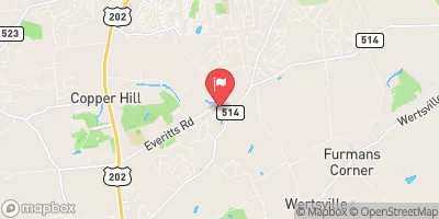
Sullivan Pond Dam
-
Suez Water Lambertville #2 Dam
-
Amwell No. 1 Dam
-
Amwell #2 Dam
-
Amwell No. 3 Dam
-
Village Two At New Hope
-
 Lake Hopatcong At Landing Nj
-
 Mcmichael Creek Near Stroudsburg
-
 Delaware River Near Delaware Water Gap Pa
-
 Pocono Creek Near Stroudsburg
-
 Beltzville Lake Near Parryville
-
 Wanaque Reservoir At Wanaque Nj
 Lambertville in NJ