Mathay (Pa-459) Reservoir Report
Nearby: Saul Run (Pa-458) Hadley (Pa-489)
Last Updated: February 23, 2026
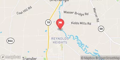
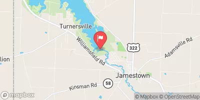
Mathay (Pa-459) is a flood risk reduction dam located in Hempfield Township, Mercer County, Pennsylvania.
Summary
Built in 1962 by the USDA NRCS, this earth dam stands at a height of 22 feet and spans 3260 feet in length. Its primary purpose is to mitigate flooding along Mathay Run, providing protection to the surrounding community and infrastructure.
Managed by the Pennsylvania Department of Environmental Protection, Mathay (Pa-459) is regulated, permitted, inspected, and enforced to ensure its structural integrity and functionality. With a storage capacity of 755 acre-feet and a drainage area of 1.4 square miles, this dam plays a crucial role in water resource management in the region. Despite being classified as having a high hazard potential, its current condition is assessed as fair, highlighting the importance of regular inspections and maintenance.
Mathay (Pa-459) serves as a vital infrastructure for flood control in the area, working to safeguard lives and properties from potential disasters. As a key component of the local government's water resource management strategy, this dam exemplifies the collaborative efforts between state and federal agencies to ensure the safety and resilience of communities in the face of changing climate conditions.
°F
°F
mph
Wind
%
Humidity
15-Day Weather Outlook
Year Completed |
1962 |
Dam Length |
3260 |
Dam Height |
22 |
River Or Stream |
MATHAY RUN |
Primary Dam Type |
Earth |
Surface Area |
8 |
Drainage Area |
1.4 |
Nid Storage |
755 |
Hazard Potential |
High |
Foundations |
Unlisted/Unknown |
Nid Height |
22 |
Seasonal Comparison
5-Day Hourly Forecast Detail
Nearby Streamflow Levels
 Little Shenango River At Greenville
|
267cfs |
 Shenango River Near Transfer
|
603cfs |
 Shenango River At Pymatuning Dam
|
145cfs |
 Shenango River At Sharpsville
|
2270cfs |
 French Creek At Meadville
|
4470cfs |
 French Creek At Utica
|
5970cfs |
Dam Data Reference
Condition Assessment
SatisfactoryNo existing or potential dam safety deficiencies are recognized. Acceptable performance is expected under all loading conditions (static, hydrologic, seismic) in accordance with the minimum applicable state or federal regulatory criteria or tolerable risk guidelines.
Fair
No existing dam safety deficiencies are recognized for normal operating conditions. Rare or extreme hydrologic and/or seismic events may result in a dam safety deficiency. Risk may be in the range to take further action. Note: Rare or extreme event is defined by the regulatory agency based on their minimum
Poor A dam safety deficiency is recognized for normal operating conditions which may realistically occur. Remedial action is necessary. POOR may also be used when uncertainties exist as to critical analysis parameters which identify a potential dam safety deficiency. Investigations and studies are necessary.
Unsatisfactory
A dam safety deficiency is recognized that requires immediate or emergency remedial action for problem resolution.
Not Rated
The dam has not been inspected, is not under state or federal jurisdiction, or has been inspected but, for whatever reason, has not been rated.
Not Available
Dams for which the condition assessment is restricted to approved government users.
Hazard Potential Classification
HighDams assigned the high hazard potential classification are those where failure or mis-operation will probably cause loss of human life.
Significant
Dams assigned the significant hazard potential classification are those dams where failure or mis-operation results in no probable loss of human life but can cause economic loss, environment damage, disruption of lifeline facilities, or impact other concerns. Significant hazard potential classification dams are often located in predominantly rural or agricultural areas but could be in areas with population and significant infrastructure.
Low
Dams assigned the low hazard potential classification are those where failure or mis-operation results in no probable loss of human life and low economic and/or environmental losses. Losses are principally limited to the owner's property.
Undetermined
Dams for which a downstream hazard potential has not been designated or is not provided.
Not Available
Dams for which the downstream hazard potential is restricted to approved government users.

 Mathay (Pa-459)
 Reynolds Industrial Park Road Pymatuning Township