Mcdowell Detention Basin Reservoir Report
Nearby: West 17th Street Detention Lakeshore
Last Updated: February 3, 2026
Mcdowell Detention Basin, located in Erie, Pennsylvania, serves as a crucial flood risk reduction infrastructure managed by the local government.
°F
°F
mph
Wind
%
Humidity
15-Day Weather Outlook
Summary
Completed in 2004, this Earth-type dam stands at a height of 10.5 feet and has a storage capacity of 15 acre-feet, providing protection for the surrounding Millcreek Township area. The basin covers a drainage area of 0.28 square miles and is regulated by the Pennsylvania Department of Environmental Protection to ensure its operational integrity.
The dam's design underwent hydraulic modifications in 2011 to enhance its flood control capabilities, reflecting a commitment to proactive maintenance and improvement. Despite being classified as having a high hazard potential, Mcdowell Detention Basin has been assessed as being in satisfactory condition, with regular inspections conducted to ensure its reliability in emergency situations. As a significant structure along TR Lake Erie, this detention basin stands as a testament to the importance of effective water resource management in mitigating the impacts of climate-related challenges.
In the event of an emergency, the basin's Emergency Action Plan (EAP) outlines guidelines for response and contact procedures, although specific details regarding its preparation and compliance with regulatory standards remain unspecified. With its strategic location and critical role in flood risk reduction, Mcdowell Detention Basin exemplifies the intersection of infrastructure, environmental protection, and community resilience in safeguarding against the potential impacts of extreme weather events in the region.
Years Modified |
2011 - Hydraulic |
Year Completed |
2004 |
Dam Length |
380 |
Dam Height |
10.5 |
River Or Stream |
TR LAKE ERIE |
Primary Dam Type |
Earth |
Drainage Area |
0.28 |
Nid Storage |
15 |
Hazard Potential |
High |
Foundations |
Unlisted/Unknown |
Nid Height |
11 |
Seasonal Comparison
Hourly Weather Forecast
Nearby Streamflow Levels
 Walnut Creek Upstream Pool
|
391cfs |
 Brandy Run Near Girard
|
8cfs |
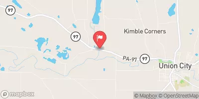
 French Creek Near Union City
|
219cfs |
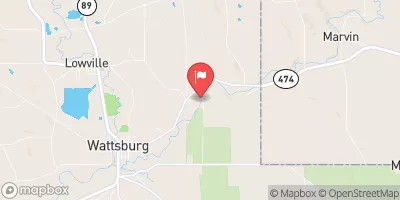
 French Creek Near Wattsburg
|
105cfs |
 Conneaut Creek At Conneaut Oh
|
1490cfs |
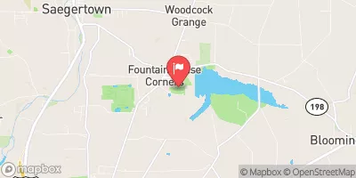
 Woodcock Creek At Woodcock Creek Dam
|
19cfs |
Dam Data Reference
Condition Assessment
SatisfactoryNo existing or potential dam safety deficiencies are recognized. Acceptable performance is expected under all loading conditions (static, hydrologic, seismic) in accordance with the minimum applicable state or federal regulatory criteria or tolerable risk guidelines.
Fair
No existing dam safety deficiencies are recognized for normal operating conditions. Rare or extreme hydrologic and/or seismic events may result in a dam safety deficiency. Risk may be in the range to take further action. Note: Rare or extreme event is defined by the regulatory agency based on their minimum
Poor A dam safety deficiency is recognized for normal operating conditions which may realistically occur. Remedial action is necessary. POOR may also be used when uncertainties exist as to critical analysis parameters which identify a potential dam safety deficiency. Investigations and studies are necessary.
Unsatisfactory
A dam safety deficiency is recognized that requires immediate or emergency remedial action for problem resolution.
Not Rated
The dam has not been inspected, is not under state or federal jurisdiction, or has been inspected but, for whatever reason, has not been rated.
Not Available
Dams for which the condition assessment is restricted to approved government users.
Hazard Potential Classification
HighDams assigned the high hazard potential classification are those where failure or mis-operation will probably cause loss of human life.
Significant
Dams assigned the significant hazard potential classification are those dams where failure or mis-operation results in no probable loss of human life but can cause economic loss, environment damage, disruption of lifeline facilities, or impact other concerns. Significant hazard potential classification dams are often located in predominantly rural or agricultural areas but could be in areas with population and significant infrastructure.
Low
Dams assigned the low hazard potential classification are those where failure or mis-operation results in no probable loss of human life and low economic and/or environmental losses. Losses are principally limited to the owner's property.
Undetermined
Dams for which a downstream hazard potential has not been designated or is not provided.
Not Available
Dams for which the downstream hazard potential is restricted to approved government users.

 Mcdowell Detention Basin
 Vista Launch