
East Barre Detention Reservoir At East Barre Reservoir Report
Last Updated: December 21, 2025
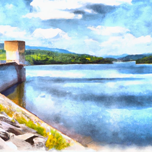
The East Barre Detention Reservoir is located in the town of East Barre, Vermont.
°F
°F
mph
Wind
%
Humidity
Summary
This reservoir was constructed in 1979 as a flood control measure under the Flood Control Act of 1944. The reservoir provides flood protection to the downstream communities along the Jail Branch River. The reservoir's hydrology is fed by surface flow and snowpack melt from the surrounding mountains. The primary agricultural use of the area near the reservoir is hay farming. The reservoir also provides recreational opportunities for fishing and boating. The reservoir has a capacity of 28 million gallons and covers an area of 31 acres. It is managed by the United States Army Corps of Engineers.
Reservoir Details
| Lake Or Reservoir Water Surface Elevation Above Ngvd 1929, Ft 24hr Change | -0.18% |
| Percent of Normal | 100% |
| Minimum |
1,126.15 ft
2011-07-24 |
| Maximum |
1,158.45 ft
2024-02-26 |
| Average | 1,130 ft |
| Dam_Height | 65 |
| Hydraulic_Height | 60 |
| Drainage_Area | 39 |
| Year_Completed | 1935 |
| Nid_Storage | 23550 |
| Structural_Height | 65 |
| Foundations | Soil |
| Surface_Area | 687 |
| Hazard_Potential | High |
| River_Or_Stream | JAIL BRANCH |
| Dam_Length | 1632 |
| Primary_Dam_Type | Earth |
| Nid_Height | 65 |
Seasonal Comparison
Lake Or Reservoir Water Surface Elevation Above Ngvd 1929, Ft Levels
Weather Forecast
Nearby Streamflow Levels
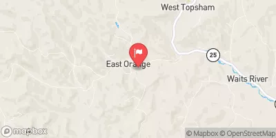 East Orange Branch At East Orange
|
17cfs |
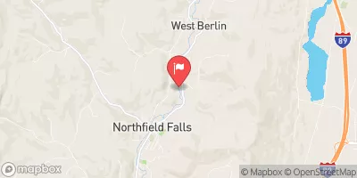 Dog River At Northfield Falls
|
207cfs |
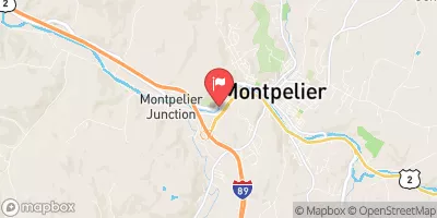 Winooski River At Montpelier
|
1120cfs |
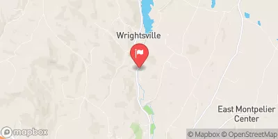 North Branch Winooski River At Wrightsville
|
373cfs |
 Mad River Near Moretown
|
266cfs |
 Ayers Brook At Randolph
|
51cfs |
Dam Data Reference
Condition Assessment
SatisfactoryNo existing or potential dam safety deficiencies are recognized. Acceptable performance is expected under all loading conditions (static, hydrologic, seismic) in accordance with the minimum applicable state or federal regulatory criteria or tolerable risk guidelines.
Fair
No existing dam safety deficiencies are recognized for normal operating conditions. Rare or extreme hydrologic and/or seismic events may result in a dam safety deficiency. Risk may be in the range to take further action. Note: Rare or extreme event is defined by the regulatory agency based on their minimum
Poor A dam safety deficiency is recognized for normal operating conditions which may realistically occur. Remedial action is necessary. POOR may also be used when uncertainties exist as to critical analysis parameters which identify a potential dam safety deficiency. Investigations and studies are necessary.
Unsatisfactory
A dam safety deficiency is recognized that requires immediate or emergency remedial action for problem resolution.
Not Rated
The dam has not been inspected, is not under state or federal jurisdiction, or has been inspected but, for whatever reason, has not been rated.
Not Available
Dams for which the condition assessment is restricted to approved government users.
Hazard Potential Classification
HighDams assigned the high hazard potential classification are those where failure or mis-operation will probably cause loss of human life.
Significant
Dams assigned the significant hazard potential classification are those dams where failure or mis-operation results in no probable loss of human life but can cause economic loss, environment damage, disruption of lifeline facilities, or impact other concerns. Significant hazard potential classification dams are often located in predominantly rural or agricultural areas but could be in areas with population and significant infrastructure.
Low
Dams assigned the low hazard potential classification are those where failure or mis-operation results in no probable loss of human life and low economic and/or environmental losses. Losses are principally limited to the owner's property.
Undetermined
Dams for which a downstream hazard potential has not been designated or is not provided.
Not Available
Dams for which the downstream hazard potential is restricted to approved government users.
Area Campgrounds
| Location | Reservations | Toilets |
|---|---|---|
 Ricker Pond State Park
|
||
 Allis State Park
|
||
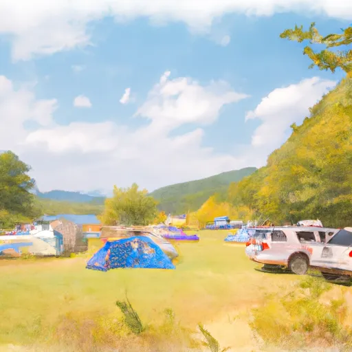 Stillwater State Park
|
 East Barre
 East Barre Detention Reservoir At East Barre