
Gayler Lake Dam Reservoir Report
Nearby: Big Lake Dam Blincoe Lake Dam #2
Last Updated: March 31, 2026
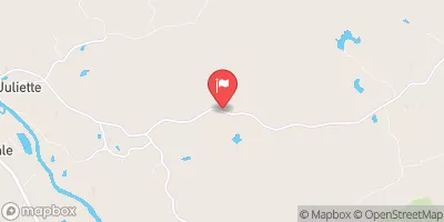
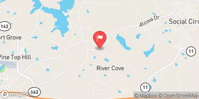
Gayler Lake Dam, located in Monticello, Georgia, is a private dam primarily used for recreation.
Summary
The dam, designed by the Soil Conservation Service (SCS), stands at a height of 34 feet and has a hydraulic height of 24 feet. With a maximum storage capacity of 31 acre-feet and a normal storage capacity of 20 acre-feet, the dam covers a surface area of 2 acres and serves a drainage area of 25 square miles. Despite being uncontrolled, the spillway type of the dam is listed as uncontrolled, with a low hazard potential and a moderate risk assessment rating.
Although the dam has not been inspected since November 2018, it is deemed to be in good condition and poses no immediate threat. The risk assessment for Gayler Lake Dam is moderate (3), suggesting that there may be some potential risks associated with the structure. However, with proper risk management measures in place, the dam continues to provide recreational benefits to the local community. As an essential part of the water resource infrastructure in Jasper County, Gayler Lake Dam stands as a testament to the importance of maintaining and managing water resources for both recreational and environmental purposes.
°F
°F
mph
Wind
%
Humidity
15-Day Weather Outlook
Dam Height |
34 |
Hydraulic Height |
24 |
Drainage Area |
25 |
Nid Storage |
31 |
Foundations |
Unlisted/Unknown |
Surface Area |
2 |
Outlet Gates |
Uncontrolled |
River Or Stream |
UNKNOWN |
Dam Length |
200 |
Hazard Potential |
Low |
Primary Dam Type |
Earth |
Nid Height |
34 |
Seasonal Comparison
5-Day Hourly Forecast Detail
Nearby Streamflow Levels
 Ocmulgee River Near Jackson
|
1190cfs |
 Alcovy River Below Covington
|
120cfs |
 Murder Creek Below Eatonton
|
71cfs |
 Little River Near Eatonton
|
92cfs |
 Falling Creek Near Juliette
|
18cfs |
 Alcovy River Above Covington
|
113cfs |
Dam Data Reference
Condition Assessment
SatisfactoryNo existing or potential dam safety deficiencies are recognized. Acceptable performance is expected under all loading conditions (static, hydrologic, seismic) in accordance with the minimum applicable state or federal regulatory criteria or tolerable risk guidelines.
Fair
No existing dam safety deficiencies are recognized for normal operating conditions. Rare or extreme hydrologic and/or seismic events may result in a dam safety deficiency. Risk may be in the range to take further action. Note: Rare or extreme event is defined by the regulatory agency based on their minimum
Poor A dam safety deficiency is recognized for normal operating conditions which may realistically occur. Remedial action is necessary. POOR may also be used when uncertainties exist as to critical analysis parameters which identify a potential dam safety deficiency. Investigations and studies are necessary.
Unsatisfactory
A dam safety deficiency is recognized that requires immediate or emergency remedial action for problem resolution.
Not Rated
The dam has not been inspected, is not under state or federal jurisdiction, or has been inspected but, for whatever reason, has not been rated.
Not Available
Dams for which the condition assessment is restricted to approved government users.
Hazard Potential Classification
HighDams assigned the high hazard potential classification are those where failure or mis-operation will probably cause loss of human life.
Significant
Dams assigned the significant hazard potential classification are those dams where failure or mis-operation results in no probable loss of human life but can cause economic loss, environment damage, disruption of lifeline facilities, or impact other concerns. Significant hazard potential classification dams are often located in predominantly rural or agricultural areas but could be in areas with population and significant infrastructure.
Low
Dams assigned the low hazard potential classification are those where failure or mis-operation results in no probable loss of human life and low economic and/or environmental losses. Losses are principally limited to the owner's property.
Undetermined
Dams for which a downstream hazard potential has not been designated or is not provided.
Not Available
Dams for which the downstream hazard potential is restricted to approved government users.
Area Campgrounds
| Location | Reservations | Toilets |
|---|---|---|
 Rush Creek Campground
|
||
 Newton Factory Shoals Rec Area
|
||
 Gladesville Campground
|
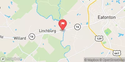
 Gayler Lake Dam
 Lloyd Shoals Dam On Lake Jackson To Georgia State Highway 16
 Georgia State Highway 16 To East Juliette Dam