


Lake Potashnik Dam Reservoir Report
Last Updated: May 4, 2026
°F
°F
mph
Wind
%
Humidity
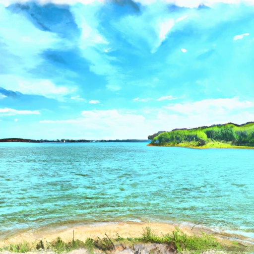
Lake Potashnik Dam, located in Wayne, Missouri, is a privately owned earth dam primarily designed for recreation purposes.
Summary
Completed in 1963, the dam stands at a height of 26 feet and has a storage capacity of 97 acre-feet, with a normal storage level of 40 acre-feet. Situated on the TR-ST FRANCIS RIVER, this dam provides a surface area of 7 acres and serves a drainage area of 190 square miles.
Despite being privately owned, the dam poses a high hazard potential and has not been rated for its condition. The last inspection of Lake Potashnik Dam was conducted in October 1980, with no recent updates on its safety assessment or emergency action plan. As water resource and climate enthusiasts, it is vital to monitor the condition of this dam and ensure that proper risk management measures are in place to prevent any potential hazards to the surrounding area.
With its picturesque location and recreational purpose, Lake Potashnik Dam serves as a valuable asset to the community of GREENVILLE. As climate change continues to impact water resources, it is essential to prioritize the safety and maintenance of dams like Lake Potashnik to ensure sustainable water management practices for future generations.
Regional Streamflow Levels
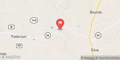 St. Francis River Near Patterson
|
752cfs |
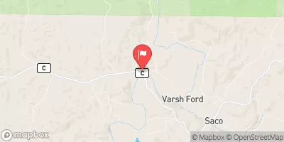 St. Francis River Near Saco
|
302cfs |
 Black River At Leeper
|
889cfs |
 Black River Near Annapolis
|
314cfs |
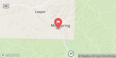
 St. Francis River Near Mill Creek
|
357cfs |
 Castor River At Zalma
|
266cfs |
15-Day Long Term Forecast
Year Completed |
1963 |
Dam Height |
26 |
River Or Stream |
TR-ST FRANCIS RIVER |
Primary Dam Type |
Earth |
Surface Area |
7 |
Drainage Area |
190 |
Nid Storage |
97 |
Structural Height |
26 |
Hazard Potential |
High |
Foundations |
Unlisted/Unknown |
Nid Height |
26 |
Seasonal Comparison
5-Day Hourly Forecast Detail
Dam Data Reference
Condition Assessment
SatisfactoryNo existing or potential dam safety deficiencies are recognized. Acceptable performance is expected under all loading conditions (static, hydrologic, seismic) in accordance with the minimum applicable state or federal regulatory criteria or tolerable risk guidelines.
Fair
No existing dam safety deficiencies are recognized for normal operating conditions. Rare or extreme hydrologic and/or seismic events may result in a dam safety deficiency. Risk may be in the range to take further action. Note: Rare or extreme event is defined by the regulatory agency based on their minimum
Poor A dam safety deficiency is recognized for normal operating conditions which may realistically occur. Remedial action is necessary. POOR may also be used when uncertainties exist as to critical analysis parameters which identify a potential dam safety deficiency. Investigations and studies are necessary.
Unsatisfactory
A dam safety deficiency is recognized that requires immediate or emergency remedial action for problem resolution.
Not Rated
The dam has not been inspected, is not under state or federal jurisdiction, or has been inspected but, for whatever reason, has not been rated.
Not Available
Dams for which the condition assessment is restricted to approved government users.
Hazard Potential Classification
HighDams assigned the high hazard potential classification are those where failure or mis-operation will probably cause loss of human life.
Significant
Dams assigned the significant hazard potential classification are those dams where failure or mis-operation results in no probable loss of human life but can cause economic loss, environment damage, disruption of lifeline facilities, or impact other concerns. Significant hazard potential classification dams are often located in predominantly rural or agricultural areas but could be in areas with population and significant infrastructure.
Low
Dams assigned the low hazard potential classification are those where failure or mis-operation results in no probable loss of human life and low economic and/or environmental losses. Losses are principally limited to the owner's property.
Undetermined
Dams for which a downstream hazard potential has not been designated or is not provided.
Not Available
Dams for which the downstream hazard potential is restricted to approved government users.
Area Campgrounds
 Sam A Baker State Park
 Greenville - Lake Wappapello
 Sulphur Springs - Lake Wappapello
 Marble Creek Rec Area
 Marble Creek Recreation Area
 Piedmont - Clearwater Lake
 Clearwater Lake Near Piedmont
 Wappapello Lake At Wappapello
 Mudlick Equestrian and Hike Trail Wayne County
River Runs
-
 Forest Boundary At North Section Line Of Sec 4, T33N, R5E To Forest Boundary At South Section Line Of Sec 35, T32N, R5E
-
 Markam Spring Recreation Area To Nf Boundary
-
 The Most Upstream Portion Of Ozark National Scenic Riverways To The Most Downstream Portion Of Ozark National Scenic Riverways
-
 Confluence With Alley Spring (Branch) To Confluence With Current River (Does Not Include River Segment In Gap Between Parkland Units)
 Beaver Lake Recreation Area
 Howell Lake
 Parole Lake
 Huzzah Ponds
 Timberline Lake