Confluence With Alley Spring (Branch) To Confluence With Current River (Does Not Include River Segment In Gap Between Parkland Units) Paddle Report
Last Updated: 2026-02-07
The Whitewater River Run in Missouri is a 28-mile segment of the Ozark National Scenic Riverways, starting from Confluence with Alley Spring (Branch) and ending at Confluence with Current River (excluding the segment in the gap between Parkland Units).
Summary
The ideal streamflow range for this section is between 200 and 500 cubic feet per second (cfs). The river has been classified as a class I to II, making it suitable for novices and families.
The river features several rapids and obstacles. The most significant rapid is located at the end of the run, near the confluence with the Current River. The rapid is a class II to III and is known as "Rocky Falls." It is recommended for experienced paddlers only and requires scouting before running. Other obstacles include downed trees and strainers, which can be encountered throughout the run.
There are specific regulations in place for this area. Boaters are required to purchase a permit from the Ozark National Scenic Riverways before using the river. It is also prohibited to use glass containers on the river, and alcohol is not allowed on the river during the peak boating season.
In conclusion, the Whitewater River Run in Missouri is a great option for novice and experienced paddlers alike, with an ideal streamflow range between 200 and 500 cfs. With a class I to II rating and significant obstacles like Rocky Falls, it provides a thrilling adventure for those who seek it. As with any river adventure, it's essential to follow specific regulations to ensure the safety of all those involved.
°F
°F
mph
Wind
%
Humidity
15-Day Weather Outlook
River Run Details
| Last Updated | 2026-02-07 |
| River Levels | 117 cfs (1.76 ft) |
| Percent of Normal | 26% |
| Status | |
| Class Level | ii |
| Elevation | ft |
| Run Length | 7.0 Mi |
| Streamflow Discharge | cfs |
| Gauge Height | ft |
| Reporting Streamgage | USGS 07065495 |
5-Day Hourly Forecast Detail
Nearby Streamflow Levels
 Jacks Fork At Alley Spring
|
157cfs |
 Jacks Fork At Eminence
|
376cfs |
 Jacks Fork Near Mountain View
|
95cfs |
 Current River Above Akers
|
255cfs |
 Current River At Van Buren
|
1390cfs |
 Logan Creek At Ellington
|
3cfs |
Area Campgrounds
| Location | Reservations | Toilets |
|---|---|---|
 Alley Spring
|
||
 Alley Spring - Ozark National Scenic River
|
||
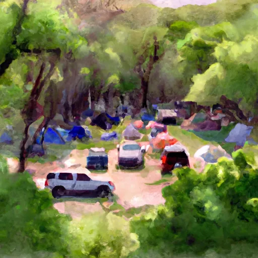 Bay Creek
|
||
 Shawnee Creek
|
||
 Jerktail Landing
|
||
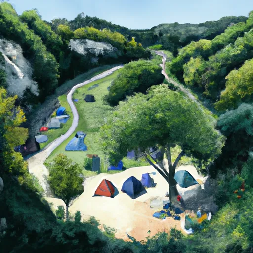 Round Spring
|


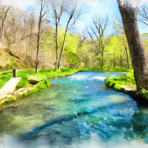 Confluence With Alley Spring (Branch) To Confluence With Current River (Does Not Include River Segment In Gap Between Parkland Units)
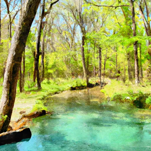 Alley Spring State Forest
 Conservation Area Angeline
 Sunklands Conservation Area
 Round Spring State Park
 Sunklands Natural Area