


Aug. Canal Left Embkmnt + Structures (Above Bulkhead Structure) Reservoir Report
Last Updated: May 7, 2026
°F
°F
mph
Wind
%
Humidity
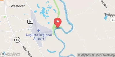
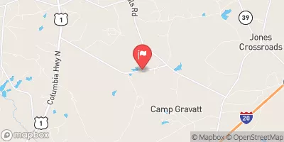
Located in Augusta, Georgia, the Aug.
Summary
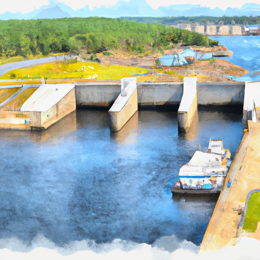
Canal Left Embkmnt + Structures (Above Bulkhead Structure) is a crucial water resource infrastructure owned by the local government. Built in 1847, this earth-type dam stands at 26 feet high and spans 25,837 feet in length, with a storage capacity of 1,100 acre-feet. The primary purpose of this dam is for water supply, serving both hydroelectric and water supply needs in the area.
Managed by the Federal Energy Regulatory Commission (FERC), this significant structure has a hazard potential deemed as "Significant" with a high risk assessment rating. The dam, situated on the Augusta Canal, plays a vital role in the water management system of the region, serving as a key component for water storage and supply. Although lacking in detailed condition assessment information, the dam undergoes regular inspections with a frequency of one per year to ensure its structural integrity and safety.
The Aug. Canal Left Embkmnt + Structures (Above Bulkhead Structure) is an essential piece of infrastructure in Columbia County, Georgia, contributing to the sustainable management of water resources in the area. With its historical significance dating back to the 19th century and its modern-day functionality for water supply purposes, this dam stands as a testament to the intersection of water resource management and climate resilience in the region.
Regional Streamflow Levels
 Augusta Canal Nr Augusta (Upper)
|
2310cfs |
 Butler Creek Below 7th Avenue
|
8cfs |
 Savannah River At Augusta
|
4540cfs |
 Spirit Creek At Us 1
|
10cfs |
 Stevens Creek Near Modoc
|
31cfs |
 Mctier Creek (Rd 209) Near Monetta
|
2cfs |
15-Day Long Term Forecast
Year Completed |
1847 |
Dam Length |
25837 |
Dam Height |
26 |
River Or Stream |
Augusta Canal |
Primary Dam Type |
Earth |
Surface Area |
110 |
Drainage Area |
37.5 |
Nid Storage |
1100 |
Hazard Potential |
Significant |
Foundations |
Rock |
Nid Height |
26 |
Seasonal Comparison
5-Day Hourly Forecast Detail
Dam Data Reference
Condition Assessment
SatisfactoryNo existing or potential dam safety deficiencies are recognized. Acceptable performance is expected under all loading conditions (static, hydrologic, seismic) in accordance with the minimum applicable state or federal regulatory criteria or tolerable risk guidelines.
Fair
No existing dam safety deficiencies are recognized for normal operating conditions. Rare or extreme hydrologic and/or seismic events may result in a dam safety deficiency. Risk may be in the range to take further action. Note: Rare or extreme event is defined by the regulatory agency based on their minimum
Poor A dam safety deficiency is recognized for normal operating conditions which may realistically occur. Remedial action is necessary. POOR may also be used when uncertainties exist as to critical analysis parameters which identify a potential dam safety deficiency. Investigations and studies are necessary.
Unsatisfactory
A dam safety deficiency is recognized that requires immediate or emergency remedial action for problem resolution.
Not Rated
The dam has not been inspected, is not under state or federal jurisdiction, or has been inspected but, for whatever reason, has not been rated.
Not Available
Dams for which the condition assessment is restricted to approved government users.
Hazard Potential Classification
HighDams assigned the high hazard potential classification are those where failure or mis-operation will probably cause loss of human life.
Significant
Dams assigned the significant hazard potential classification are those dams where failure or mis-operation results in no probable loss of human life but can cause economic loss, environment damage, disruption of lifeline facilities, or impact other concerns. Significant hazard potential classification dams are often located in predominantly rural or agricultural areas but could be in areas with population and significant infrastructure.
Low
Dams assigned the low hazard potential classification are those where failure or mis-operation results in no probable loss of human life and low economic and/or environmental losses. Losses are principally limited to the owner's property.
Undetermined
Dams for which a downstream hazard potential has not been designated or is not provided.
Not Available
Dams for which the downstream hazard potential is restricted to approved government users.
 Lick Fork Lake Recreation Area
 Lick Fork Lake
 Petersburg - Strom Thurmond Lake
 Wildwood County Park
 Ridge Road - Strom Thurmond Lake
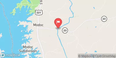
 Modoc - Strom Thurmond Lake
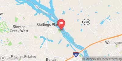
 Savannah Rvr At Stevens Creek Dam Nr Morgana
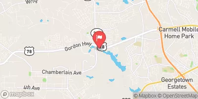
 Butler Creek Reservoir At Fort Gordon
 Savannah Rv Above New Savannah Bluff Lock & Dam
 McCormick County
 Steven'S Creek Crossing Sc Highway 21 To Steven'S Creek Crossing Sc Highway 88
 Turkey Creek And Sc Highway 35 To Confluence With Stevens Creek
 The Western Jenkins County Line To The I-95 Bridge Crossing
 J. Strom Thurmond Reservoir
 Lick Fork Lake
 Gordon Lake
 Cherokee Creek
 Cliatt Creek