Neal Shoals Reservoir Near Carlisle Reservoir Report
Nearby: Ophelias Dam Claviant Corp Dam
Last Updated: February 21, 2026
Neal Shoals Reservoir is a man-made lake located near Carlisle, South Carolina.
Summary
The reservoir was created in 1962 by the construction of a dam across the Broad River. The lake has a surface area of 2,600 acres and a maximum depth of 60 feet. The reservoir is primarily used for recreational purposes, including fishing, boating, and camping. The lake is also used as a source of water for nearby towns and agricultural areas. The water flow into the reservoir is primarily from the Broad River and several smaller tributaries. Snowpack is not a significant source of water for the reservoir, as South Carolina generally experiences mild winters with minimal snowfall. Overall, Neal Shoals Reservoir is an important resource for the surrounding communities, providing both recreational opportunities and essential water resources.
°F
°F
mph
Wind
%
Humidity
15-Day Weather Outlook
Reservoir Details
| Elevation Of Reservoir Water Surface Above Datum, Ft 24hr Change | 0.02% |
| Percent of Normal | 100% |
| Minimum |
327.6 ft
2021-11-20 |
| Maximum |
341.49 ft
2024-09-29 |
| Average | 333 ft |
| Dam_Height | 24.5 |
| Hydraulic_Height | 25 |
| Drainage_Area | 2730 |
| Year_Completed | 1905 |
| Nid_Storage | 1492 |
| Structural_Height | 32 |
| Foundations | Rock |
| Surface_Area | 550 |
| Outlet_Gates | Slide (sluice gate) - 2 |
| River_Or_Stream | Broad River |
| Dam_Length | 1295 |
| Hazard_Potential | Low |
| Primary_Dam_Type | Concrete |
| Nid_Height | 32 |
Seasonal Comparison
Elevation Of Reservoir Water Surface Above Datum, Ft Levels
5-Day Hourly Forecast Detail
Nearby Streamflow Levels
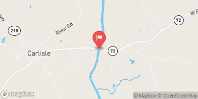
 Broad River Near Carlisle
|
1580cfs |
 Tyger River Near Delta
|
333cfs |
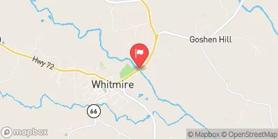
 Enoree River At Whitmire
|
314cfs |
 Broad River Below Cherokee Falls
|
1080cfs |
 Wildcat Creek Below Rock Hill
|
26cfs |
 Fishing Creek Below Fort Lawn
|
90cfs |
Dam Data Reference
Condition Assessment
SatisfactoryNo existing or potential dam safety deficiencies are recognized. Acceptable performance is expected under all loading conditions (static, hydrologic, seismic) in accordance with the minimum applicable state or federal regulatory criteria or tolerable risk guidelines.
Fair
No existing dam safety deficiencies are recognized for normal operating conditions. Rare or extreme hydrologic and/or seismic events may result in a dam safety deficiency. Risk may be in the range to take further action. Note: Rare or extreme event is defined by the regulatory agency based on their minimum
Poor A dam safety deficiency is recognized for normal operating conditions which may realistically occur. Remedial action is necessary. POOR may also be used when uncertainties exist as to critical analysis parameters which identify a potential dam safety deficiency. Investigations and studies are necessary.
Unsatisfactory
A dam safety deficiency is recognized that requires immediate or emergency remedial action for problem resolution.
Not Rated
The dam has not been inspected, is not under state or federal jurisdiction, or has been inspected but, for whatever reason, has not been rated.
Not Available
Dams for which the condition assessment is restricted to approved government users.
Hazard Potential Classification
HighDams assigned the high hazard potential classification are those where failure or mis-operation will probably cause loss of human life.
Significant
Dams assigned the significant hazard potential classification are those dams where failure or mis-operation results in no probable loss of human life but can cause economic loss, environment damage, disruption of lifeline facilities, or impact other concerns. Significant hazard potential classification dams are often located in predominantly rural or agricultural areas but could be in areas with population and significant infrastructure.
Low
Dams assigned the low hazard potential classification are those where failure or mis-operation results in no probable loss of human life and low economic and/or environmental losses. Losses are principally limited to the owner's property.
Undetermined
Dams for which a downstream hazard potential has not been designated or is not provided.
Not Available
Dams for which the downstream hazard potential is restricted to approved government users.
Area Campgrounds
| Location | Reservations | Toilets |
|---|---|---|
 Woods Ferry
|
||
 Woods Ferry Recreation Area
|
||
 Poulous Loop Group Camp
|
||
 Chester State Park
|

 Neal Shoals
 Neal Shoals Reservoir Near Carlisle