Tylers Pond Dam Reservoir Report
Last Updated: February 23, 2026
Tylers Pond Dam, located in Aiken, South Carolina, is a privately owned earth dam that was completed in 1940 for recreational purposes.
Summary
The dam stands at a height of 12 feet and stretches 370 feet in length, with a storage capacity of 170 acre-feet. Despite its low hazard potential, the dam is in poor condition as of its last inspection in August 2017.
The dam is situated on Hunter Branch and falls under the regulatory jurisdiction of the South Carolina Department of Health and Environmental Control (DHEC). Although the dam is state-regulated and inspected, its maintenance and condition assessment seem to have room for improvement. The primary purpose of Tylers Pond Dam is for recreation, with a normal storage capacity of 103 acre-feet and a surface area of 27 acres.
With its historical significance dating back to the 1940s, Tylers Pond Dam presents an opportunity for water resource and climate enthusiasts to engage in discussions around the maintenance, regulation, and potential enhancements of this recreational structure. As a privately owned dam with state oversight, there is potential for collaboration between the owner, regulatory agencies, and interested stakeholders to ensure the safety and sustainability of this water resource in Aiken, South Carolina.
°F
°F
mph
Wind
%
Humidity
15-Day Weather Outlook
Year Completed |
1940 |
Dam Length |
370 |
Dam Height |
12 |
River Or Stream |
HUNTER BRANCH |
Primary Dam Type |
Earth |
Surface Area |
27 |
Nid Storage |
170 |
Hazard Potential |
Low |
Foundations |
Unlisted/Unknown |
Nid Height |
12 |
Seasonal Comparison
5-Day Hourly Forecast Detail
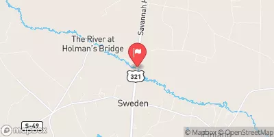
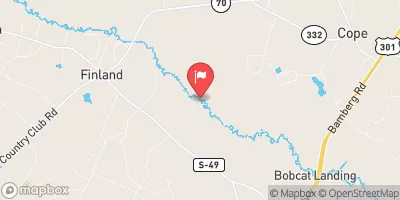
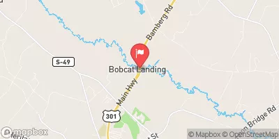
Nearby Streamflow Levels
Dam Data Reference
Condition Assessment
SatisfactoryNo existing or potential dam safety deficiencies are recognized. Acceptable performance is expected under all loading conditions (static, hydrologic, seismic) in accordance with the minimum applicable state or federal regulatory criteria or tolerable risk guidelines.
Fair
No existing dam safety deficiencies are recognized for normal operating conditions. Rare or extreme hydrologic and/or seismic events may result in a dam safety deficiency. Risk may be in the range to take further action. Note: Rare or extreme event is defined by the regulatory agency based on their minimum
Poor A dam safety deficiency is recognized for normal operating conditions which may realistically occur. Remedial action is necessary. POOR may also be used when uncertainties exist as to critical analysis parameters which identify a potential dam safety deficiency. Investigations and studies are necessary.
Unsatisfactory
A dam safety deficiency is recognized that requires immediate or emergency remedial action for problem resolution.
Not Rated
The dam has not been inspected, is not under state or federal jurisdiction, or has been inspected but, for whatever reason, has not been rated.
Not Available
Dams for which the condition assessment is restricted to approved government users.
Hazard Potential Classification
HighDams assigned the high hazard potential classification are those where failure or mis-operation will probably cause loss of human life.
Significant
Dams assigned the significant hazard potential classification are those dams where failure or mis-operation results in no probable loss of human life but can cause economic loss, environment damage, disruption of lifeline facilities, or impact other concerns. Significant hazard potential classification dams are often located in predominantly rural or agricultural areas but could be in areas with population and significant infrastructure.
Low
Dams assigned the low hazard potential classification are those where failure or mis-operation results in no probable loss of human life and low economic and/or environmental losses. Losses are principally limited to the owner's property.
Undetermined
Dams for which a downstream hazard potential has not been designated or is not provided.
Not Available
Dams for which the downstream hazard potential is restricted to approved government users.


 Tylers Pond Dam