Mary Shecut Dam Reservoir Report
Last Updated: February 22, 2026
Mary Shecut Dam, located in Orangeburg, South Carolina, is a private-owned structure that serves primarily for recreational purposes.
Summary
Completed in 1952, this earth dam stands at a height of 15 feet and stretches to a length of 755 feet, with a storage capacity of 123 acre-feet. Despite its low hazard potential, the dam's condition assessment is marked as poor, raising concerns for its structural integrity and maintenance.
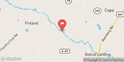
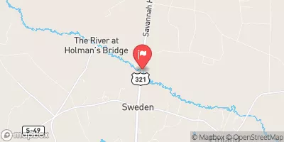
Managed by the South Carolina Department of Health and Environmental Control (DHEC), Mary Shecut Dam is subject to state regulations, inspections, and enforcement. The dam overlooks the scenic TR-South Fork Edisto River and provides a surface area of 20 acres for various recreational activities. However, with an outdated last inspection date in 2017 and a poor condition assessment, the dam's risk management measures and emergency action plans are lacking, warranting attention from water resource and climate enthusiasts to ensure the safety and sustainability of this essential infrastructure.
As climate change continues to impact water resources and infrastructure across the globe, the condition of dams such as Mary Shecut becomes a focal point for proactive maintenance and risk assessment. With a designated emergency action plan and improved risk management measures, the dam can better withstand potential hazards and serve as a reliable recreational resource for the local community. Advocacy for regular inspections, updates to the dam's condition assessment, and the development of sustainable practices are crucial steps in safeguarding the future of Mary Shecut Dam amidst evolving environmental challenges.
°F
°F
mph
Wind
%
Humidity
15-Day Weather Outlook
Year Completed |
1952 |
Dam Length |
755 |
Dam Height |
15 |
River Or Stream |
TR-SOUTH FORK EDISTO RIVER |
Primary Dam Type |
Earth |
Surface Area |
20 |
Nid Storage |
123 |
Hazard Potential |
Low |
Foundations |
Unlisted/Unknown |
Nid Height |
15 |
Seasonal Comparison
5-Day Hourly Forecast Detail
Nearby Streamflow Levels
Dam Data Reference
Condition Assessment
SatisfactoryNo existing or potential dam safety deficiencies are recognized. Acceptable performance is expected under all loading conditions (static, hydrologic, seismic) in accordance with the minimum applicable state or federal regulatory criteria or tolerable risk guidelines.
Fair
No existing dam safety deficiencies are recognized for normal operating conditions. Rare or extreme hydrologic and/or seismic events may result in a dam safety deficiency. Risk may be in the range to take further action. Note: Rare or extreme event is defined by the regulatory agency based on their minimum
Poor A dam safety deficiency is recognized for normal operating conditions which may realistically occur. Remedial action is necessary. POOR may also be used when uncertainties exist as to critical analysis parameters which identify a potential dam safety deficiency. Investigations and studies are necessary.
Unsatisfactory
A dam safety deficiency is recognized that requires immediate or emergency remedial action for problem resolution.
Not Rated
The dam has not been inspected, is not under state or federal jurisdiction, or has been inspected but, for whatever reason, has not been rated.
Not Available
Dams for which the condition assessment is restricted to approved government users.
Hazard Potential Classification
HighDams assigned the high hazard potential classification are those where failure or mis-operation will probably cause loss of human life.
Significant
Dams assigned the significant hazard potential classification are those dams where failure or mis-operation results in no probable loss of human life but can cause economic loss, environment damage, disruption of lifeline facilities, or impact other concerns. Significant hazard potential classification dams are often located in predominantly rural or agricultural areas but could be in areas with population and significant infrastructure.
Low
Dams assigned the low hazard potential classification are those where failure or mis-operation results in no probable loss of human life and low economic and/or environmental losses. Losses are principally limited to the owner's property.
Undetermined
Dams for which a downstream hazard potential has not been designated or is not provided.
Not Available
Dams for which the downstream hazard potential is restricted to approved government users.


 Mary Shecut Dam