Charlotte Bourne Dam Reservoir Report
Nearby: Rollins Pond Dam Delta Pond Dam
Last Updated: February 22, 2026
Charlotte Bourne Dam, located in Marlboro, South Carolina, is a privately owned earth dam constructed in 1950 with a primary purpose of recreation.
Summary
The dam stands at a height of 20 feet and spans 690 feet along TR-HUSBANDS CREEK, providing a storage capacity of 72 acre-feet. Despite its age, the dam has a significant hazard potential and is currently assessed as being in poor condition as of the last inspection in March 2021.
The dam is regulated by the South Carolina Department of Health and Environmental Control (DHEC), with state permitting, inspection, and enforcement in place. However, the dam's emergency action plan (EAP) was last revised in 1994, raising concerns about its readiness to handle potential emergencies. With a significant hazard potential and poor condition assessment, there is a need for proactive risk management measures and regular maintenance to ensure the safety of the surrounding area and downstream communities in the event of a dam failure. For water resource and climate enthusiasts, Charlotte Bourne Dam serves as a reminder of the importance of ongoing monitoring and maintenance to prevent potential disasters and protect water resources.
°F
°F
mph
Wind
%
Humidity
15-Day Weather Outlook
Year Completed |
1950 |
Dam Length |
690 |
Dam Height |
20 |
River Or Stream |
TR-HUSBANDS CREEK |
Primary Dam Type |
Earth |
Surface Area |
10 |
Nid Storage |
72 |
Hazard Potential |
Significant |
Foundations |
Soil |
Nid Height |
20 |
Seasonal Comparison
5-Day Hourly Forecast Detail
Nearby Streamflow Levels
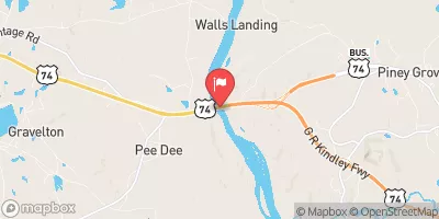
 Pee Dee River Nr Bennettsville
|
3730cfs |
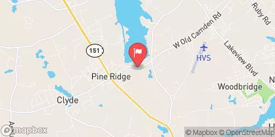
 Pee Dee R Nr Rockingham
|
3390cfs |
 Black Creek Near Mcbee
|
88cfs |
 Big Shoe Heel Creek Nr Laurinburg
|
79cfs |
 Black Creek Near Hartsville
|
167cfs |
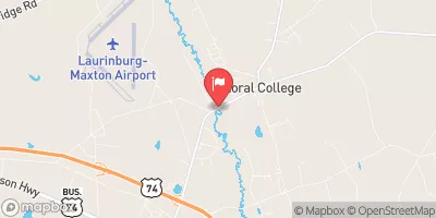
 Lumber River Near Maxton
|
528cfs |
Dam Data Reference
Condition Assessment
SatisfactoryNo existing or potential dam safety deficiencies are recognized. Acceptable performance is expected under all loading conditions (static, hydrologic, seismic) in accordance with the minimum applicable state or federal regulatory criteria or tolerable risk guidelines.
Fair
No existing dam safety deficiencies are recognized for normal operating conditions. Rare or extreme hydrologic and/or seismic events may result in a dam safety deficiency. Risk may be in the range to take further action. Note: Rare or extreme event is defined by the regulatory agency based on their minimum
Poor A dam safety deficiency is recognized for normal operating conditions which may realistically occur. Remedial action is necessary. POOR may also be used when uncertainties exist as to critical analysis parameters which identify a potential dam safety deficiency. Investigations and studies are necessary.
Unsatisfactory
A dam safety deficiency is recognized that requires immediate or emergency remedial action for problem resolution.
Not Rated
The dam has not been inspected, is not under state or federal jurisdiction, or has been inspected but, for whatever reason, has not been rated.
Not Available
Dams for which the condition assessment is restricted to approved government users.
Hazard Potential Classification
HighDams assigned the high hazard potential classification are those where failure or mis-operation will probably cause loss of human life.
Significant
Dams assigned the significant hazard potential classification are those dams where failure or mis-operation results in no probable loss of human life but can cause economic loss, environment damage, disruption of lifeline facilities, or impact other concerns. Significant hazard potential classification dams are often located in predominantly rural or agricultural areas but could be in areas with population and significant infrastructure.
Low
Dams assigned the low hazard potential classification are those where failure or mis-operation results in no probable loss of human life and low economic and/or environmental losses. Losses are principally limited to the owner's property.
Undetermined
Dams for which a downstream hazard potential has not been designated or is not provided.
Not Available
Dams for which the downstream hazard potential is restricted to approved government users.

 Charlotte Bourne Dam