Gw Plyler Dam Reservoir Report
Nearby: Hills Creek Wcd Dam Tuckers Pond Dam
Last Updated: February 21, 2026
The Gw Plyler Dam, located in Chesterfield, South Carolina, was completed in 1974 and serves primarily for recreational purposes.
Summary
This private earth dam stands at a height of 22 feet and has a length of 220 feet, with a storage capacity of 51 acre-feet. Despite its low hazard potential, the dam is currently assessed to be in poor condition as of the last inspection in October 2017.
Owned privately and regulated by the South Carolina DHEC, the Gw Plyler Dam is situated on the TR-Hills Creek, within the Wilmington District. With a surface area of 6 acres and a normal storage capacity of 37 acre-feet, the dam provides essential recreational opportunities for the surrounding community. Although the dam's condition is assessed as poor, it remains a key feature in the local landscape, attracting water resource and climate enthusiasts interested in its history and potential for future improvements.
°F
°F
mph
Wind
%
Humidity
15-Day Weather Outlook
Year Completed |
1974 |
Dam Length |
220 |
Dam Height |
22 |
River Or Stream |
TR-HILLS CREEK |
Primary Dam Type |
Earth |
Surface Area |
6 |
Nid Storage |
51 |
Hazard Potential |
Low |
Foundations |
Unlisted/Unknown |
Nid Height |
22 |
Seasonal Comparison
5-Day Hourly Forecast Detail
Nearby Streamflow Levels
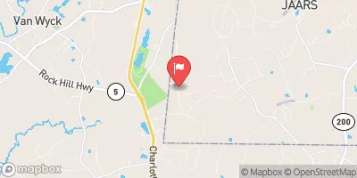 Waxhaw Creek At Sr1103 Near Jackson
|
1cfs |
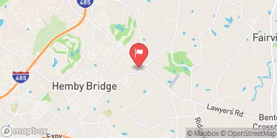 Goose Creek At Sr1525 Nr Indian Trail
|
6cfs |
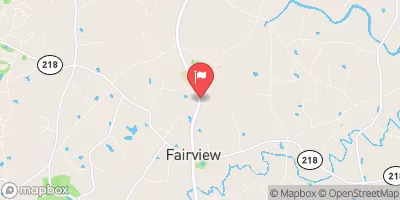 Goose Cr At Fairview
|
14cfs |
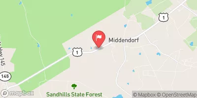 Black Creek Near Mcbee
|
88cfs |
 Catawba River Below Catawba
|
4230cfs |
 Rocky River Nr Stanfield
|
173cfs |
Dam Data Reference
Condition Assessment
SatisfactoryNo existing or potential dam safety deficiencies are recognized. Acceptable performance is expected under all loading conditions (static, hydrologic, seismic) in accordance with the minimum applicable state or federal regulatory criteria or tolerable risk guidelines.
Fair
No existing dam safety deficiencies are recognized for normal operating conditions. Rare or extreme hydrologic and/or seismic events may result in a dam safety deficiency. Risk may be in the range to take further action. Note: Rare or extreme event is defined by the regulatory agency based on their minimum
Poor A dam safety deficiency is recognized for normal operating conditions which may realistically occur. Remedial action is necessary. POOR may also be used when uncertainties exist as to critical analysis parameters which identify a potential dam safety deficiency. Investigations and studies are necessary.
Unsatisfactory
A dam safety deficiency is recognized that requires immediate or emergency remedial action for problem resolution.
Not Rated
The dam has not been inspected, is not under state or federal jurisdiction, or has been inspected but, for whatever reason, has not been rated.
Not Available
Dams for which the condition assessment is restricted to approved government users.
Hazard Potential Classification
HighDams assigned the high hazard potential classification are those where failure or mis-operation will probably cause loss of human life.
Significant
Dams assigned the significant hazard potential classification are those dams where failure or mis-operation results in no probable loss of human life but can cause economic loss, environment damage, disruption of lifeline facilities, or impact other concerns. Significant hazard potential classification dams are often located in predominantly rural or agricultural areas but could be in areas with population and significant infrastructure.
Low
Dams assigned the low hazard potential classification are those where failure or mis-operation results in no probable loss of human life and low economic and/or environmental losses. Losses are principally limited to the owner's property.
Undetermined
Dams for which a downstream hazard potential has not been designated or is not provided.
Not Available
Dams for which the downstream hazard potential is restricted to approved government users.

 Gw Plyler Dam