
Tetonka Ridge Reservoir Report
Last Updated: April 1, 2026
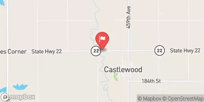
Tetonka Ridge, located in Lincoln County, Minnesota, is a rockfill dam with a primary purpose of flood risk reduction along the Medary Creek-TR.
Summary
The dam stands at a height of 52 feet with a length of 400 feet, providing a storage capacity of 52 acre-feet. Despite its low hazard potential, the dam is state-regulated and subject to regular inspections, enforcement, and permitting by the Minnesota Department of Natural Resources, ensuring its structural integrity and safety measures are up to date.
The dam's design includes a buttress core type and is situated in an area with a drainage area of 0.58 square miles. With a normal storage capacity of 12 acre-feet and a surface area of 4 acres, Tetonka Ridge plays a crucial role in mitigating flood risks in the region. While the dam's condition assessment is currently not rated, its last inspection in May 2019 indicated a low hazard potential, highlighting its importance in safeguarding the surrounding area from potential flooding events.
As a private-owned structure, Tetonka Ridge stands as a key component in the flood risk reduction efforts in the area, showcasing the collaboration between private owners and state regulatory agencies to ensure the safety and resilience of water resources in Minnesota. With its strategic location and design features, Tetonka Ridge serves as a vital asset in protecting the community from potential flooding disasters, underlining the importance of proactive dam management and regulatory oversight in safeguarding water resources and climate resilience.
°F
°F
mph
Wind
%
Humidity
15-Day Weather Outlook
Dam Length |
400 |
Dam Height |
52 |
River Or Stream |
MEDARY CREEK-TR |
Primary Dam Type |
Rockfill |
Surface Area |
4 |
Drainage Area |
0.58 |
Nid Storage |
52 |
Hazard Potential |
Low |
Foundations |
Unlisted/Unknown |
Nid Height |
52 |
Seasonal Comparison
5-Day Hourly Forecast Detail
Nearby Streamflow Levels
Dam Data Reference
Condition Assessment
SatisfactoryNo existing or potential dam safety deficiencies are recognized. Acceptable performance is expected under all loading conditions (static, hydrologic, seismic) in accordance with the minimum applicable state or federal regulatory criteria or tolerable risk guidelines.
Fair
No existing dam safety deficiencies are recognized for normal operating conditions. Rare or extreme hydrologic and/or seismic events may result in a dam safety deficiency. Risk may be in the range to take further action. Note: Rare or extreme event is defined by the regulatory agency based on their minimum
Poor A dam safety deficiency is recognized for normal operating conditions which may realistically occur. Remedial action is necessary. POOR may also be used when uncertainties exist as to critical analysis parameters which identify a potential dam safety deficiency. Investigations and studies are necessary.
Unsatisfactory
A dam safety deficiency is recognized that requires immediate or emergency remedial action for problem resolution.
Not Rated
The dam has not been inspected, is not under state or federal jurisdiction, or has been inspected but, for whatever reason, has not been rated.
Not Available
Dams for which the condition assessment is restricted to approved government users.
Hazard Potential Classification
HighDams assigned the high hazard potential classification are those where failure or mis-operation will probably cause loss of human life.
Significant
Dams assigned the significant hazard potential classification are those dams where failure or mis-operation results in no probable loss of human life but can cause economic loss, environment damage, disruption of lifeline facilities, or impact other concerns. Significant hazard potential classification dams are often located in predominantly rural or agricultural areas but could be in areas with population and significant infrastructure.
Low
Dams assigned the low hazard potential classification are those where failure or mis-operation results in no probable loss of human life and low economic and/or environmental losses. Losses are principally limited to the owner's property.
Undetermined
Dams for which a downstream hazard potential has not been designated or is not provided.
Not Available
Dams for which the downstream hazard potential is restricted to approved government users.
 Tetonka Ridge
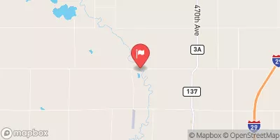
 Brookings County