


Kasmeier Pond Reservoir Report
Last Updated: May 4, 2026
Nearby: Wilson Dam Sharps Mill Dam
°F
°F
mph
Wind
%
Humidity
Kasmeier Pond, located in Lauderdale, Alabama, is a private fish and wildlife pond designed by the USDA NRCS in 1960.
Summary
With a dam height of 13 feet and a storage capacity of 81 acre-feet, this earth dam serves as a recreational area and habitat for local wildlife. The pond is situated along TR-Wilson Creek, within Congressional District 05, Alabama, and is owned and managed by private individuals.
Despite its low hazard potential and moderate risk assessment, Kasmeier Pond has not been rated for its condition assessment. The pond's spillway, with a width of 10 feet, is uncontrolled, allowing for a maximum discharge of 131 cubic feet per second. With a drainage area of 0.02 square miles, the pond provides essential habitat for various species while also offering recreational opportunities for visitors.
While the pond has not been inspected recently, its emergency action plan status and risk management measures are currently unknown. For water resource and climate enthusiasts, Kasmeier Pond offers a unique opportunity to explore the intersection of human development and environmental conservation in a private setting in the heart of Alabama.
Regional Streamflow Levels
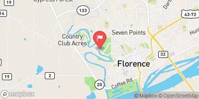 Cypress Creek Near Florence Al
|
136cfs |
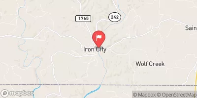 Shoal Creek At Iron City
|
271cfs |
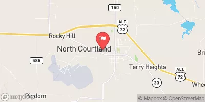 Big Nance Creek At Courtland Al
|
58cfs |
 Bear Creek At Bishop
|
4330cfs |
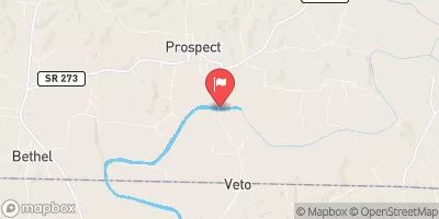 Elk River At Prospect
|
785cfs |
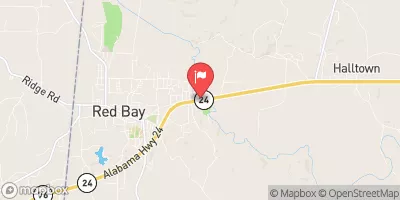 Bear Creek Near Red Bay
|
618cfs |
15-Day Long Term Forecast
Year Completed |
1960 |
Dam Length |
416 |
Dam Height |
13 |
River Or Stream |
TR-WILSON CREEK |
Primary Dam Type |
Earth |
Drainage Area |
0.02 |
Nid Storage |
81 |
Hazard Potential |
Low |
Nid Height |
13 |
Seasonal Comparison
5-Day Hourly Forecast Detail
Dam Data Reference
Condition Assessment
SatisfactoryNo existing or potential dam safety deficiencies are recognized. Acceptable performance is expected under all loading conditions (static, hydrologic, seismic) in accordance with the minimum applicable state or federal regulatory criteria or tolerable risk guidelines.
Fair
No existing dam safety deficiencies are recognized for normal operating conditions. Rare or extreme hydrologic and/or seismic events may result in a dam safety deficiency. Risk may be in the range to take further action. Note: Rare or extreme event is defined by the regulatory agency based on their minimum
Poor A dam safety deficiency is recognized for normal operating conditions which may realistically occur. Remedial action is necessary. POOR may also be used when uncertainties exist as to critical analysis parameters which identify a potential dam safety deficiency. Investigations and studies are necessary.
Unsatisfactory
A dam safety deficiency is recognized that requires immediate or emergency remedial action for problem resolution.
Not Rated
The dam has not been inspected, is not under state or federal jurisdiction, or has been inspected but, for whatever reason, has not been rated.
Not Available
Dams for which the condition assessment is restricted to approved government users.
Hazard Potential Classification
HighDams assigned the high hazard potential classification are those where failure or mis-operation will probably cause loss of human life.
Significant
Dams assigned the significant hazard potential classification are those dams where failure or mis-operation results in no probable loss of human life but can cause economic loss, environment damage, disruption of lifeline facilities, or impact other concerns. Significant hazard potential classification dams are often located in predominantly rural or agricultural areas but could be in areas with population and significant infrastructure.
Low
Dams assigned the low hazard potential classification are those where failure or mis-operation results in no probable loss of human life and low economic and/or environmental losses. Losses are principally limited to the owner's property.
Undetermined
Dams for which a downstream hazard potential has not been designated or is not provided.
Not Available
Dams for which the downstream hazard potential is restricted to approved government users.
 Florence
 The Henryville Bridge Crossing On County Road 6230 To Bethel Bridge On County Road 6174
 Bethel Bridge On County Road 6174 To Confluence With Duck River
 Indiancamp Creek
 O'Neal Harbor
 Cypress Creek
 Pickwick Lake
 TVA public land