2026-02-24T00:00:00-05:00
* WHAT...Heavy snow expected. Total snow accumulations mostly between 2 and 6 inches, with amounts up to 10 inches possible along the Tennessee border and in the high elevations. * WHERE...Avery County. * WHEN...From midnight tonight until midnight EST Monday Night. * IMPACTS...The heavy snow will make many roads impassable and may produce a few power outages due to the weight of the snow on tree limbs and power lines. The hazardous conditions could impact the Monday morning and evening commutes. * ADDITIONAL DETAILS...Winds gusting as high as 50 mph could result in areas of blowing snow and very low visibility Sunday night and Monday.
Summary
The ideal streamflow range for this run is between 300-800 cfs, which typically occurs during the spring and fall seasons.
This segment of the river is rated as a Class IV-V run, with a total mileage of approximately 5 miles. The river features several challenging rapids and obstacles, including Pinball, Gorilla, and Sunshine. These rapids require advanced paddling skills and experience, making this run only suitable for experienced and skilled whitewater enthusiasts.
In terms of regulations, paddlers must adhere to the guidelines set by the U.S. Forest Service, which includes obtaining a permit to access the river. Additionally, the Forest Service prohibits camping within 200 feet of the river, and the use of glass containers is strictly prohibited.
Overall, the Whitewater River Run from Headwaters above Linville Gap to Blue Ridge Parkway Boundary is a thrilling and challenging whitewater rafting experience that requires experience and skill. Paddlers must be mindful of the regulations and guidelines set by the U.S. Forest Service to ensure a safe and enjoyable trip.
°F
°F
mph
Wind
%
Humidity
15-Day Weather Outlook
River Run Details
| Last Updated | 2026-02-07 |
| River Levels | 25 cfs (1.08 ft) |
| Percent of Normal | 37% |
| Status | |
| Class Level | iv-v |
| Elevation | ft |
| Streamflow Discharge | cfs |
| Gauge Height | ft |
| Reporting Streamgage | USGS 02111000 |
5-Day Hourly Forecast Detail
Nearby Streamflow Levels
 Linville River Near Nebo
|
123cfs |
 Johns River At Arneys Store
|
259cfs |
 South Toe River Near Celo
|
89cfs |
 Watauga River Near Sugar Grove
|
147cfs |
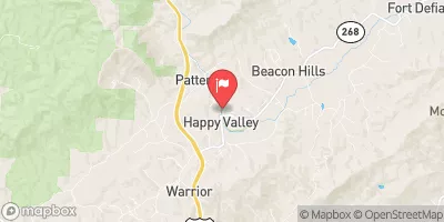 Yadkin River At Patterson
|
33cfs |
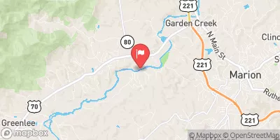 Catawba R Nr Pleasant Gardens
|
126cfs |
Area Campgrounds
| Location | Reservations | Toilets |
|---|---|---|
 Linville Falls Campground
|
||
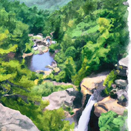 Linville Falls - Blue Ridge Parkway
|
||
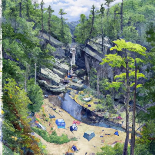 Linville Falls
|
||
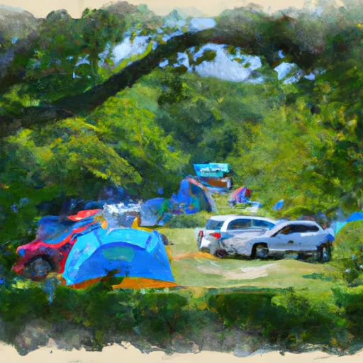 Buck Hill Campground
|
||
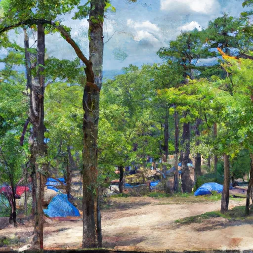 Mortimer
|
||
 Mortimer Campground
|


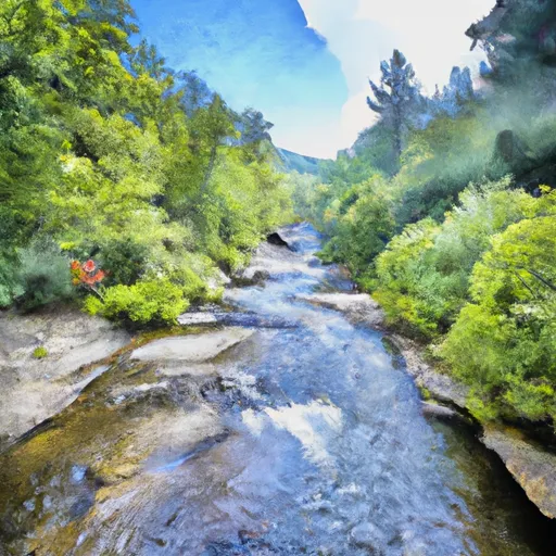 Headwaters Above Linville Gap To Blue Ridge Parkway Boundary
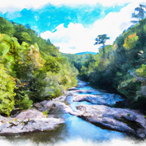 Blue Ridge Parkway Boundary To Linville Gorge Boundary
 Linville Gorge Wilderness Boundary To Southern End Of Wilderness
 Grandfather Mountain State Park
 Julian Price Memorial Park
 Wilderness Linville Gorge