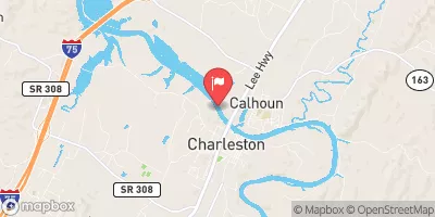
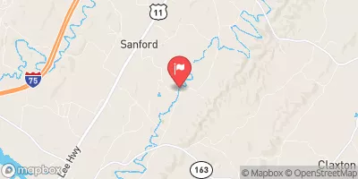
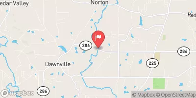
Johnston Reservoir Report
Nearby: Bachman Academy Newman
Last Updated: February 21, 2026
Johnston, located in Bradley County, Tennessee, is a private earth dam constructed in 1963 by the USDA NRCS for multiple purposes such as fire protection, stock, small fish ponds, and recreation.
Summary
The dam spans 350 feet in length and has a hydraulic height of 20.9 feet, with a maximum storage capacity of 111 acre-feet and a normal storage of 71 acre-feet. The dam is situated on Brymer Creek and serves as a vital resource for the surrounding community.
Despite being classified as having a low hazard potential, Johnston has a moderate risk assessment rating of 3. Although the dam is not currently rated for its condition, it undergoes inspections every five years, with the last assessment conducted in November 2019. The dam does not have an Emergency Action Plan (EAP) in place, and there is limited information available on risk management measures and inundation maps prepared for potential emergencies.
Johnston is an essential water resource structure in the area, providing water storage for various purposes and serving as a recreational spot for the community. While it has a low hazard potential, the moderate risk assessment highlights the importance of regular inspections and potential improvements to ensure the safety and reliability of the dam in the face of changing climate conditions and emergency situations.
°F
°F
mph
Wind
%
Humidity
15-Day Weather Outlook
Year Completed |
1963 |
Dam Length |
350 |
River Or Stream |
BRYMER CREEK |
Primary Dam Type |
Earth |
Surface Area |
8.3 |
Hydraulic Height |
20.9 |
Drainage Area |
0.1 |
Nid Storage |
111 |
Structural Height |
25.3 |
Outlet Gates |
None |
Hazard Potential |
Low |
Foundations |
Rock, Soil |
Nid Height |
25 |
Seasonal Comparison
5-Day Hourly Forecast Detail
Nearby Streamflow Levels
Dam Data Reference
Condition Assessment
SatisfactoryNo existing or potential dam safety deficiencies are recognized. Acceptable performance is expected under all loading conditions (static, hydrologic, seismic) in accordance with the minimum applicable state or federal regulatory criteria or tolerable risk guidelines.
Fair
No existing dam safety deficiencies are recognized for normal operating conditions. Rare or extreme hydrologic and/or seismic events may result in a dam safety deficiency. Risk may be in the range to take further action. Note: Rare or extreme event is defined by the regulatory agency based on their minimum
Poor A dam safety deficiency is recognized for normal operating conditions which may realistically occur. Remedial action is necessary. POOR may also be used when uncertainties exist as to critical analysis parameters which identify a potential dam safety deficiency. Investigations and studies are necessary.
Unsatisfactory
A dam safety deficiency is recognized that requires immediate or emergency remedial action for problem resolution.
Not Rated
The dam has not been inspected, is not under state or federal jurisdiction, or has been inspected but, for whatever reason, has not been rated.
Not Available
Dams for which the condition assessment is restricted to approved government users.
Hazard Potential Classification
HighDams assigned the high hazard potential classification are those where failure or mis-operation will probably cause loss of human life.
Significant
Dams assigned the significant hazard potential classification are those dams where failure or mis-operation results in no probable loss of human life but can cause economic loss, environment damage, disruption of lifeline facilities, or impact other concerns. Significant hazard potential classification dams are often located in predominantly rural or agricultural areas but could be in areas with population and significant infrastructure.
Low
Dams assigned the low hazard potential classification are those where failure or mis-operation results in no probable loss of human life and low economic and/or environmental losses. Losses are principally limited to the owner's property.
Undetermined
Dams for which a downstream hazard potential has not been designated or is not provided.
Not Available
Dams for which the downstream hazard potential is restricted to approved government users.
Area Campgrounds
| Location | Reservations | Toilets |
|---|---|---|
 Harrison Bay State Park
|
||
 Skull Island - Chickamauga Lake
|
||
 Chester Frost Park
|


 Johnston