Carroll Reservoir Report
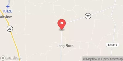
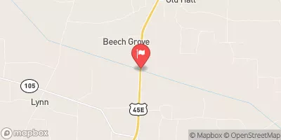
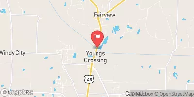
Nearby: Hico Creek Clear Creek #4
Last Updated: January 10, 2026
Carroll is a significant earth dam located in Huntingdon, Tennessee, with a hydraulic height of 14.6 feet and a structural height of 20 feet.
°F
°F
mph
Wind
%
Humidity
Summary
Completed in 1949, this dam on Clear Creek boasts a storage capacity of 1245 acre-feet and serves as a crucial water resource for the surrounding area. With a spillway width of 40 feet and an uncontrolled spillway type, Carroll is regulated and inspected by the Tennessee Safe Dams Program to ensure its safety and functionality.
The dam's condition is assessed as satisfactory, with a significant hazard potential and a moderate risk level. It has a drainage area of 10.1 square miles and a normal storage capacity of 660 acre-feet, providing essential water storage and flood control benefits for the region. Carroll is equipped with Tainter radial gates for outlet control and is subject to regular inspections every two years to maintain its integrity and safety standards.
Located in Carroll County, Tennessee, Carroll dam plays a crucial role in water management and conservation efforts in the region. With its history dating back to the mid-20th century, this earth dam stands as a testament to the importance of sustainable water resource management and the critical role that infrastructure like dams play in ensuring water security and resilience in the face of climate change challenges.
Year Completed |
1949 |
Dam Length |
1550 |
River Or Stream |
CLEAR CREEK |
Primary Dam Type |
Earth |
Surface Area |
110 |
Hydraulic Height |
14.6 |
Drainage Area |
10.1 |
Nid Storage |
1245 |
Structural Height |
20 |
Outlet Gates |
Tainter (radial) |
Hazard Potential |
Significant |
Nid Height |
20 |
Seasonal Comparison
Weather Forecast
Nearby Streamflow Levels
Dam Data Reference
Condition Assessment
SatisfactoryNo existing or potential dam safety deficiencies are recognized. Acceptable performance is expected under all loading conditions (static, hydrologic, seismic) in accordance with the minimum applicable state or federal regulatory criteria or tolerable risk guidelines.
Fair
No existing dam safety deficiencies are recognized for normal operating conditions. Rare or extreme hydrologic and/or seismic events may result in a dam safety deficiency. Risk may be in the range to take further action. Note: Rare or extreme event is defined by the regulatory agency based on their minimum
Poor A dam safety deficiency is recognized for normal operating conditions which may realistically occur. Remedial action is necessary. POOR may also be used when uncertainties exist as to critical analysis parameters which identify a potential dam safety deficiency. Investigations and studies are necessary.
Unsatisfactory
A dam safety deficiency is recognized that requires immediate or emergency remedial action for problem resolution.
Not Rated
The dam has not been inspected, is not under state or federal jurisdiction, or has been inspected but, for whatever reason, has not been rated.
Not Available
Dams for which the condition assessment is restricted to approved government users.
Hazard Potential Classification
HighDams assigned the high hazard potential classification are those where failure or mis-operation will probably cause loss of human life.
Significant
Dams assigned the significant hazard potential classification are those dams where failure or mis-operation results in no probable loss of human life but can cause economic loss, environment damage, disruption of lifeline facilities, or impact other concerns. Significant hazard potential classification dams are often located in predominantly rural or agricultural areas but could be in areas with population and significant infrastructure.
Low
Dams assigned the low hazard potential classification are those where failure or mis-operation results in no probable loss of human life and low economic and/or environmental losses. Losses are principally limited to the owner's property.
Undetermined
Dams for which a downstream hazard potential has not been designated or is not provided.
Not Available
Dams for which the downstream hazard potential is restricted to approved government users.


 Carroll