Luckey #1 Reservoir Report
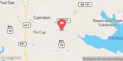
Nearby: Jones Creswell Lake #43
Last Updated: February 15, 2026
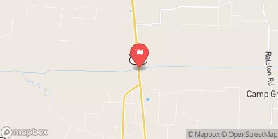
Luckey #1 is a privately owned earth dam located in Carroll, Tennessee, along the Demoss Creek.
Summary
Built in 1964, this dam stands at a hydraulic height of 16.1 feet and a structural height of 18.3 feet, with a length of 497 feet and a storage capacity of 54 acre-feet. With a low hazard potential and a moderate risk assessment rating, Luckey #1 plays a crucial role in regulating water flow and providing flood protection in the area.
Despite being privately owned and not regulated by the state, Luckey #1 has not undergone recent inspections and is currently rated as "Not Rated" in terms of condition assessment. With no emergency action plan prepared or updated, there are concerns about its safety and preparedness in case of emergencies. However, the dam's location in a relatively low-risk area and its uncontrolled spillway type contribute to its overall stability and functionality.
Luckey #1 serves as a vital infrastructure in the water resource management system of Carroll, Tennessee, and its surrounding areas. With its modest size and capacity, this dam ensures water storage for irrigation purposes and helps mitigate the risk of flooding in the region. As climate change continues to impact water resources, the maintenance and monitoring of structures like Luckey #1 become increasingly important for ensuring community safety and environmental sustainability.
°F
°F
mph
Wind
%
Humidity
15-Day Weather Outlook
Year Completed |
1964 |
Dam Length |
497 |
River Or Stream |
DEMOSS CREEK |
Primary Dam Type |
Earth |
Surface Area |
6.2 |
Hydraulic Height |
16.1 |
Drainage Area |
0.08 |
Nid Storage |
54 |
Structural Height |
18.3 |
Outlet Gates |
None |
Hazard Potential |
Low |
Nid Height |
18 |
Seasonal Comparison
5-Day Hourly Forecast Detail
Nearby Streamflow Levels
Dam Data Reference
Condition Assessment
SatisfactoryNo existing or potential dam safety deficiencies are recognized. Acceptable performance is expected under all loading conditions (static, hydrologic, seismic) in accordance with the minimum applicable state or federal regulatory criteria or tolerable risk guidelines.
Fair
No existing dam safety deficiencies are recognized for normal operating conditions. Rare or extreme hydrologic and/or seismic events may result in a dam safety deficiency. Risk may be in the range to take further action. Note: Rare or extreme event is defined by the regulatory agency based on their minimum
Poor A dam safety deficiency is recognized for normal operating conditions which may realistically occur. Remedial action is necessary. POOR may also be used when uncertainties exist as to critical analysis parameters which identify a potential dam safety deficiency. Investigations and studies are necessary.
Unsatisfactory
A dam safety deficiency is recognized that requires immediate or emergency remedial action for problem resolution.
Not Rated
The dam has not been inspected, is not under state or federal jurisdiction, or has been inspected but, for whatever reason, has not been rated.
Not Available
Dams for which the condition assessment is restricted to approved government users.
Hazard Potential Classification
HighDams assigned the high hazard potential classification are those where failure or mis-operation will probably cause loss of human life.
Significant
Dams assigned the significant hazard potential classification are those dams where failure or mis-operation results in no probable loss of human life but can cause economic loss, environment damage, disruption of lifeline facilities, or impact other concerns. Significant hazard potential classification dams are often located in predominantly rural or agricultural areas but could be in areas with population and significant infrastructure.
Low
Dams assigned the low hazard potential classification are those where failure or mis-operation results in no probable loss of human life and low economic and/or environmental losses. Losses are principally limited to the owner's property.
Undetermined
Dams for which a downstream hazard potential has not been designated or is not provided.
Not Available
Dams for which the downstream hazard potential is restricted to approved government users.

 Luckey #1