Kirk 'A' Reservoir Report
Nearby: Kirk 'B' Kirk #60111a
Last Updated: February 12, 2026
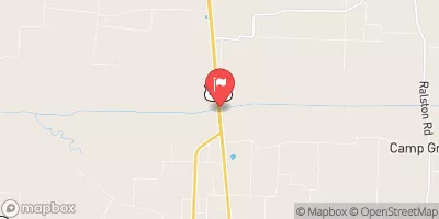
Located in Dyer, Tennessee, Kirk 'A' is a privately owned earth dam built in 1983 on Tribblewiss Creek.
Summary
With a height of 30 feet and a hydraulic height of 22.9 feet, this dam serves a variety of purposes, including water storage with a capacity of 70 acre-feet. The dam covers a surface area of 4.2 acres and has a drainage area of 0.03 square miles.
Managed by the Tennessee Safe Dams Program, Kirk 'A' is state-regulated and undergoes regular inspections to ensure its structural integrity. The dam has a low hazard potential and is in satisfactory condition, with a moderate risk assessment rating of 3. While it currently has no outlet gates or associated structures, the dam has a controlled spillway and is equipped to handle emergencies effectively.
For water resource and climate enthusiasts, Kirk 'A' presents an intriguing case study in dam management and safety. Its location on Tribblewiss Creek and the detailed data provided offer valuable insights into the importance of proper regulation, inspection, and risk assessment for maintaining the integrity of water infrastructure in the face of changing environmental conditions.
°F
°F
mph
Wind
%
Humidity
15-Day Weather Outlook
Year Completed |
1983 |
Dam Length |
300 |
River Or Stream |
TRIBLEWIS CREEK |
Primary Dam Type |
Earth |
Surface Area |
4.2 |
Hydraulic Height |
22.9 |
Drainage Area |
0.03 |
Nid Storage |
70 |
Structural Height |
30 |
Outlet Gates |
None |
Hazard Potential |
Low |
Nid Height |
30 |
Seasonal Comparison
5-Day Hourly Forecast Detail
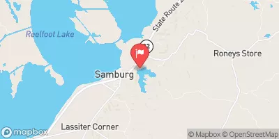
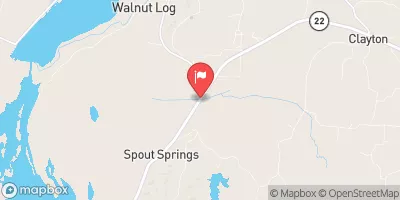
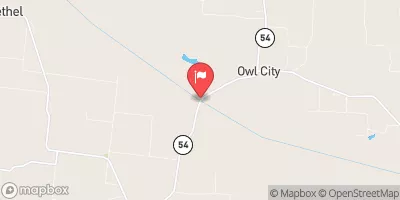
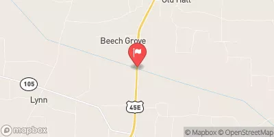
Nearby Streamflow Levels
Dam Data Reference
Condition Assessment
SatisfactoryNo existing or potential dam safety deficiencies are recognized. Acceptable performance is expected under all loading conditions (static, hydrologic, seismic) in accordance with the minimum applicable state or federal regulatory criteria or tolerable risk guidelines.
Fair
No existing dam safety deficiencies are recognized for normal operating conditions. Rare or extreme hydrologic and/or seismic events may result in a dam safety deficiency. Risk may be in the range to take further action. Note: Rare or extreme event is defined by the regulatory agency based on their minimum
Poor A dam safety deficiency is recognized for normal operating conditions which may realistically occur. Remedial action is necessary. POOR may also be used when uncertainties exist as to critical analysis parameters which identify a potential dam safety deficiency. Investigations and studies are necessary.
Unsatisfactory
A dam safety deficiency is recognized that requires immediate or emergency remedial action for problem resolution.
Not Rated
The dam has not been inspected, is not under state or federal jurisdiction, or has been inspected but, for whatever reason, has not been rated.
Not Available
Dams for which the condition assessment is restricted to approved government users.
Hazard Potential Classification
HighDams assigned the high hazard potential classification are those where failure or mis-operation will probably cause loss of human life.
Significant
Dams assigned the significant hazard potential classification are those dams where failure or mis-operation results in no probable loss of human life but can cause economic loss, environment damage, disruption of lifeline facilities, or impact other concerns. Significant hazard potential classification dams are often located in predominantly rural or agricultural areas but could be in areas with population and significant infrastructure.
Low
Dams assigned the low hazard potential classification are those where failure or mis-operation results in no probable loss of human life and low economic and/or environmental losses. Losses are principally limited to the owner's property.
Undetermined
Dams for which a downstream hazard potential has not been designated or is not provided.
Not Available
Dams for which the downstream hazard potential is restricted to approved government users.


 Kirk 'A'