Hank Reservoir Report
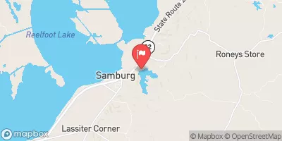
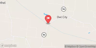
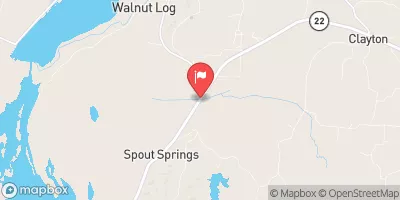
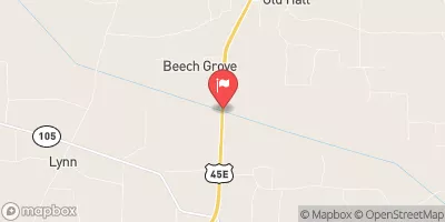
Nearby: Half-Moon Lake Dam Pemiscot Bayou Dam
Last Updated: February 12, 2026
Hank is a private earth dam located in Dyer, Tennessee, specifically in the city of Holly Leaf.
Summary
Built in 1968, this structure serves as a vital component in managing the Thompson Branch river or stream. With a hydraulic height of 14.7 feet and a structural height of 15.9 feet, Hank has a NID height of 16 feet and a length of 800 feet. It has a maximum storage capacity of 145 acre-feet, normal storage of 121 acre-feet, and covers a surface area of 20.6 acres with a drainage area of 0.31 square miles.
Despite its low hazard potential, Hank has not been rated for its condition assessment. Its last inspection was conducted in March 2017 with an inspection frequency of every 5 years. The dam's spillway is classified as uncontrolled, with no outlet gates present. While the risk assessment for Hank is moderate (3), there are currently no risk management measures in place. Nevertheless, this dam plays a crucial role in water resource management for the area, highlighting the importance of its maintenance and upkeep for the surrounding community and environment.
°F
°F
mph
Wind
%
Humidity
15-Day Weather Outlook
Year Completed |
1968 |
Dam Length |
800 |
River Or Stream |
THOMPSON BRANCH |
Primary Dam Type |
Earth |
Surface Area |
20.6 |
Hydraulic Height |
14.7 |
Drainage Area |
0.31 |
Nid Storage |
145 |
Structural Height |
15.9 |
Outlet Gates |
None |
Hazard Potential |
Low |
Nid Height |
16 |
Seasonal Comparison
5-Day Hourly Forecast Detail
Nearby Streamflow Levels
Dam Data Reference
Condition Assessment
SatisfactoryNo existing or potential dam safety deficiencies are recognized. Acceptable performance is expected under all loading conditions (static, hydrologic, seismic) in accordance with the minimum applicable state or federal regulatory criteria or tolerable risk guidelines.
Fair
No existing dam safety deficiencies are recognized for normal operating conditions. Rare or extreme hydrologic and/or seismic events may result in a dam safety deficiency. Risk may be in the range to take further action. Note: Rare or extreme event is defined by the regulatory agency based on their minimum
Poor A dam safety deficiency is recognized for normal operating conditions which may realistically occur. Remedial action is necessary. POOR may also be used when uncertainties exist as to critical analysis parameters which identify a potential dam safety deficiency. Investigations and studies are necessary.
Unsatisfactory
A dam safety deficiency is recognized that requires immediate or emergency remedial action for problem resolution.
Not Rated
The dam has not been inspected, is not under state or federal jurisdiction, or has been inspected but, for whatever reason, has not been rated.
Not Available
Dams for which the condition assessment is restricted to approved government users.
Hazard Potential Classification
HighDams assigned the high hazard potential classification are those where failure or mis-operation will probably cause loss of human life.
Significant
Dams assigned the significant hazard potential classification are those dams where failure or mis-operation results in no probable loss of human life but can cause economic loss, environment damage, disruption of lifeline facilities, or impact other concerns. Significant hazard potential classification dams are often located in predominantly rural or agricultural areas but could be in areas with population and significant infrastructure.
Low
Dams assigned the low hazard potential classification are those where failure or mis-operation results in no probable loss of human life and low economic and/or environmental losses. Losses are principally limited to the owner's property.
Undetermined
Dams for which a downstream hazard potential has not been designated or is not provided.
Not Available
Dams for which the downstream hazard potential is restricted to approved government users.


 Hank
Hank