Bigford Reservoir Report
Last Updated: February 13, 2026
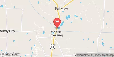
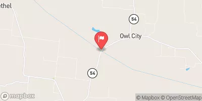
Bigford is a privately owned dam situated in Madison, Tennessee, along Turkey Creek.
Summary
With a structural height of 33 feet and a length of 1351.4 feet, it serves a primary purpose of "Other" and is classified as an Earth type dam. The dam has a storage capacity of 315 acre-feet and covers a surface area of 14.1 acres, with a drainage area of 0.04 square miles.
Despite being rated as having a low hazard potential, Bigford is subject to moderate risk, with an inspection frequency of 5 years. The dam's condition assessment is currently listed as "Not Rated," and it has not been evaluated for its Emergency Action Plan (EAP) preparedness. The dam does not have any outlet gates, and its spillway type is classified as "Uncontrolled."
Water resource and climate enthusiasts can appreciate the detailed information provided about Bigford, including its location, dimensions, and risk assessment. The data highlights the importance of monitoring and maintaining dams to ensure their safety and functionality in managing water resources effectively. As a key structure in the area, understanding the characteristics and condition of Bigford is essential for informed decision-making and risk management in the face of changing climate conditions.
°F
°F
mph
Wind
%
Humidity
15-Day Weather Outlook
Dam Length |
1351.4 |
River Or Stream |
TURKEY CREEK |
Primary Dam Type |
Earth |
Surface Area |
14.1 |
Drainage Area |
0.04 |
Nid Storage |
315 |
Structural Height |
33 |
Outlet Gates |
None |
Hazard Potential |
Low |
Nid Height |
33 |
Seasonal Comparison
5-Day Hourly Forecast Detail
Nearby Streamflow Levels
Dam Data Reference
Condition Assessment
SatisfactoryNo existing or potential dam safety deficiencies are recognized. Acceptable performance is expected under all loading conditions (static, hydrologic, seismic) in accordance with the minimum applicable state or federal regulatory criteria or tolerable risk guidelines.
Fair
No existing dam safety deficiencies are recognized for normal operating conditions. Rare or extreme hydrologic and/or seismic events may result in a dam safety deficiency. Risk may be in the range to take further action. Note: Rare or extreme event is defined by the regulatory agency based on their minimum
Poor A dam safety deficiency is recognized for normal operating conditions which may realistically occur. Remedial action is necessary. POOR may also be used when uncertainties exist as to critical analysis parameters which identify a potential dam safety deficiency. Investigations and studies are necessary.
Unsatisfactory
A dam safety deficiency is recognized that requires immediate or emergency remedial action for problem resolution.
Not Rated
The dam has not been inspected, is not under state or federal jurisdiction, or has been inspected but, for whatever reason, has not been rated.
Not Available
Dams for which the condition assessment is restricted to approved government users.
Hazard Potential Classification
HighDams assigned the high hazard potential classification are those where failure or mis-operation will probably cause loss of human life.
Significant
Dams assigned the significant hazard potential classification are those dams where failure or mis-operation results in no probable loss of human life but can cause economic loss, environment damage, disruption of lifeline facilities, or impact other concerns. Significant hazard potential classification dams are often located in predominantly rural or agricultural areas but could be in areas with population and significant infrastructure.
Low
Dams assigned the low hazard potential classification are those where failure or mis-operation results in no probable loss of human life and low economic and/or environmental losses. Losses are principally limited to the owner's property.
Undetermined
Dams for which a downstream hazard potential has not been designated or is not provided.
Not Available
Dams for which the downstream hazard potential is restricted to approved government users.


 Bigford