Harper Reservoir Report
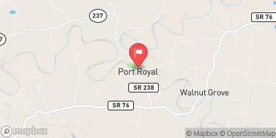
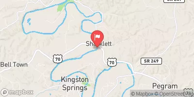
Nearby: Hills Mill Thomas
Last Updated: January 9, 2026
Harper, located in Robertson County, Tennessee, is a private earth dam constructed in 1960 on Tribbrush Creek.
°F
°F
mph
Wind
%
Humidity
Summary
The dam stands at a hydraulic height of 22.5 feet and a structural height of 28.5 feet, with a length of 435 feet and a maximum storage capacity of 189 acre-feet. Although it has a low hazard potential, it is considered to have a moderate risk level, with a condition assessment that is currently not rated.
Despite its age, Harper has not undergone any modifications in recent years and has not been inspected since March 2016. The dam does not have an Emergency Action Plan (EAP) in place, and its risk management measures are currently unspecified. While it is not under federal regulation or oversight, Harper plays a crucial role in water resource management in the area, with its primary purpose and associated structures not specified. Water and climate enthusiasts may find Harper an intriguing case study for understanding the maintenance and risk assessment of private dams in the region.
Year Completed |
1960 |
Dam Length |
435 |
River Or Stream |
TRIBBRUSH CREEK |
Primary Dam Type |
Earth |
Surface Area |
12 |
Hydraulic Height |
22.5 |
Drainage Area |
0.4 |
Nid Storage |
189 |
Structural Height |
28.5 |
Outlet Gates |
None |
Hazard Potential |
Low |
Nid Height |
29 |
Seasonal Comparison
Weather Forecast
Nearby Streamflow Levels
Dam Data Reference
Condition Assessment
SatisfactoryNo existing or potential dam safety deficiencies are recognized. Acceptable performance is expected under all loading conditions (static, hydrologic, seismic) in accordance with the minimum applicable state or federal regulatory criteria or tolerable risk guidelines.
Fair
No existing dam safety deficiencies are recognized for normal operating conditions. Rare or extreme hydrologic and/or seismic events may result in a dam safety deficiency. Risk may be in the range to take further action. Note: Rare or extreme event is defined by the regulatory agency based on their minimum
Poor A dam safety deficiency is recognized for normal operating conditions which may realistically occur. Remedial action is necessary. POOR may also be used when uncertainties exist as to critical analysis parameters which identify a potential dam safety deficiency. Investigations and studies are necessary.
Unsatisfactory
A dam safety deficiency is recognized that requires immediate or emergency remedial action for problem resolution.
Not Rated
The dam has not been inspected, is not under state or federal jurisdiction, or has been inspected but, for whatever reason, has not been rated.
Not Available
Dams for which the condition assessment is restricted to approved government users.
Hazard Potential Classification
HighDams assigned the high hazard potential classification are those where failure or mis-operation will probably cause loss of human life.
Significant
Dams assigned the significant hazard potential classification are those dams where failure or mis-operation results in no probable loss of human life but can cause economic loss, environment damage, disruption of lifeline facilities, or impact other concerns. Significant hazard potential classification dams are often located in predominantly rural or agricultural areas but could be in areas with population and significant infrastructure.
Low
Dams assigned the low hazard potential classification are those where failure or mis-operation results in no probable loss of human life and low economic and/or environmental losses. Losses are principally limited to the owner's property.
Undetermined
Dams for which a downstream hazard potential has not been designated or is not provided.
Not Available
Dams for which the downstream hazard potential is restricted to approved government users.


 Harper