


Davis Lake Dam Reservoir Report
Last Updated: May 3, 2026
Nearby: Davis Lake Dam No 2 Paradise Lake Dam
°F
°F
mph
Wind
%
Humidity
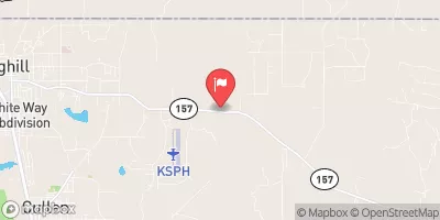
Davis Lake Dam, located in Miller County, Arkansas, is a private earth dam completed in 1968 with a primary purpose of recreation.
Summary
The dam stands at a height of 20 feet and has a hydraulic height of 16 feet, providing a storage capacity of 112 acre-feet. With a normal storage capacity of 80 acre-feet, the dam covers an impressive surface area of 7.1 acres and is situated on Fourmile Creek.
Despite being classified as having a low hazard potential, Davis Lake Dam has not been rated for its condition assessment. The dam does not fall under state jurisdiction and is not regulated by any state agency. With no state permitting, inspection, or enforcement in place, the responsibility for the dam lies solely with the private owner. While the dam has not been updated or modified in recent years, it serves as a vital structure for recreational activities and water resource management in the area.
Although lacking in formal assessments and emergency action plans, Davis Lake Dam remains a crucial component of the local water infrastructure. With its tranquil surroundings and contribution to outdoor recreation, the dam stands as a testament to the intersection of human engineering and natural beauty in the Arkansas landscape.
Regional Streamflow Levels
 Sulphur Rv Nr Texarkana
|
2030cfs |
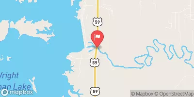
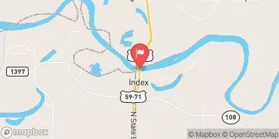 Red River At Index
|
11000cfs |
 Red River At Spring Bank
|
20000cfs |
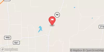 Anderson Ck At Hwy 98 Nr Simms
|
398cfs |
 Bayou Dorcheat Near Springhill
|
634cfs |
 Sulphur Rv At Ih 30 Nr Dalby Springs
|
553cfs |
15-Day Long Term Forecast
Year Completed |
1968 |
Dam Length |
480 |
Dam Height |
20 |
River Or Stream |
FOURMILE CREEK |
Primary Dam Type |
Earth |
Surface Area |
7.1 |
Hydraulic Height |
16 |
Drainage Area |
1.12 |
Nid Storage |
112 |
Structural Height |
20 |
Hazard Potential |
Low |
Nid Height |
20 |
Seasonal Comparison
5-Day Hourly Forecast Detail
Dam Data Reference
Condition Assessment
SatisfactoryNo existing or potential dam safety deficiencies are recognized. Acceptable performance is expected under all loading conditions (static, hydrologic, seismic) in accordance with the minimum applicable state or federal regulatory criteria or tolerable risk guidelines.
Fair
No existing dam safety deficiencies are recognized for normal operating conditions. Rare or extreme hydrologic and/or seismic events may result in a dam safety deficiency. Risk may be in the range to take further action. Note: Rare or extreme event is defined by the regulatory agency based on their minimum
Poor A dam safety deficiency is recognized for normal operating conditions which may realistically occur. Remedial action is necessary. POOR may also be used when uncertainties exist as to critical analysis parameters which identify a potential dam safety deficiency. Investigations and studies are necessary.
Unsatisfactory
A dam safety deficiency is recognized that requires immediate or emergency remedial action for problem resolution.
Not Rated
The dam has not been inspected, is not under state or federal jurisdiction, or has been inspected but, for whatever reason, has not been rated.
Not Available
Dams for which the condition assessment is restricted to approved government users.
Hazard Potential Classification
HighDams assigned the high hazard potential classification are those where failure or mis-operation will probably cause loss of human life.
Significant
Dams assigned the significant hazard potential classification are those dams where failure or mis-operation results in no probable loss of human life but can cause economic loss, environment damage, disruption of lifeline facilities, or impact other concerns. Significant hazard potential classification dams are often located in predominantly rural or agricultural areas but could be in areas with population and significant infrastructure.
Low
Dams assigned the low hazard potential classification are those where failure or mis-operation results in no probable loss of human life and low economic and/or environmental losses. Losses are principally limited to the owner's property.
Undetermined
Dams for which a downstream hazard potential has not been designated or is not provided.
Not Available
Dams for which the downstream hazard potential is restricted to approved government users.
 Four States Fairgrounds RV
 Piney Point - Wright Patman Lake
 Intake Hill Park- Wright Patman Lake
 Rocky Point - Wright Patman Lake
 Clear Springs - Wright Patman Lake
 Cass County Park
 Wright Patman Lk Nr Texarkana
 Lk O The Pines Nr Jefferson
 Cypress Bayou Lake Near Benton
 Farm Road 558 Bowie County
 Mercer Bayou
 Spring Lake Park
 Atlanta City Park Lake
 Sulphur River
 Wright Patman Lake