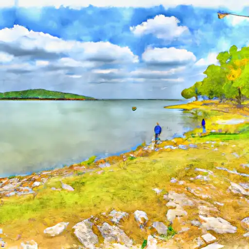
Lk Abilene Nr Buffalo Gap Reservoir
As of July 16, 2026, Lk Abilene Nr Buffalo Gap is holding 1,991 ft of water — 100% of normal storage for this date. Storage data refreshed throughout the day.

Lk Abilene Nr Buffalo Gap
LK Abilene is a reservoir located near Buffalo Gap, Texas. The reservoir was created in 1939 as part of a project to provide a municipal water supply for the city of Abilene. The lake is fed by Cedar Creek and Elm Creek and is used for irrigation, recreation and as a municipal water source. The area around the lake is predominantly agricultural, with crops such as cotton, wheat and sorghum being grown in the surrounding fields. The lake also provides recreational opportunities, such as fishing, boating and camping. Additionally, the lake is an important source of surface water for the region, supplying water to several communities in the area. The reservoir is closely monitored to ensure that it remains a reliable source of water for the surrounding communities.
Daily levels at Lk Abilene Nr Buffalo Gap
Storage volume, pool elevation, and total release plotted from the operating agency's daily observations.
Lake or reservoir water surface elevation above NGVD 1929, ft
ft · code 62614
Plan around the weather
Same NOAA / yr.no feed Snoflo's iOS app uses. Watch the precipitation column on the meteogram -- rain on the basin upstream typically lifts inflow 24-72 hours later.
Next 5 days, hour by hour
Temperature line with weather symbols on top, snow + rain accumulation as columns, humidity as a dotted line.
5-day forecast table
Every 3 hours, broken out across temperature, snow, rain, humidity, and wind. Each cell is colour-coded relative to the column min/max.
| Time | Condition | Temp (°F) | Snow (in) | Rain (in) | Humidity (%) | Wind (mps) | Wind dir |
|---|---|---|---|---|---|---|---|
| Loading detailed forecast… | |||||||
15-day temperature & precipitation
Daily temperatures, snow, and rain projected over the next two weeks.
Nearby streamflow gauges
USGS streamgauges around Lk Abilene Nr Buffalo Gap -- inflows here typically show up in storage 24-72 hours later.
| Streamgauge | Discharge | View |
|---|---|---|
| Cat Claw Ck At Abilene | 1 cfs | → |
| Cedar Ck At Ih 20 | 1 cfs | → |
| Clear Fk Brazos Rv At Hawley | · | → |
| Clear Fk Brazos Rv Nr Noodle | 7 cfs | → |
| Elm Ck At Ballinger | 1 cfs | → |
| Clear Fk Brazos Rv At Nugent | 0 cfs | → |


About Lk Abilene Nr Buffalo Gap
Where does the data for Lk Abilene Nr Buffalo Gap come from?
Daily storage, pool elevation, and release rates are sourced from USGS, USBR, and USACE monitoring stations. Weather forecast comes from NOAA / yr.no -- the same feed Snoflo's iOS app uses.
How often is the report updated?
Storage observations are updated daily by the operating agency. The 15-day weather forecast refreshes throughout the day. Snoflo caches and renders the most recent observation -- check the "as of" timestamp on the storage card.
What does the Hazard hazard rating mean?
The Corps of Engineers' hazard potential classification grades probable consequences if the dam fails: High = probable loss of human life; Significant = no probable loss of human life but possible economic loss / environmental damage; Low = no probable loss of human life, only minor economic / environmental losses. See the Dam Data Reference card below for the full definitions.
What's "% of normal"?
The current storage value compared to the historical average storage on this calendar day. 100% = right on average; values above 100% mean above-normal storage (wet year); values below mean below-normal (dry year or drought).
Can I get alerts when storage crosses a threshold?
Yes -- alerts are managed in the Snoflo iOS app. Favorite this reservoir, set a threshold, and you'll get a push the moment conditions cross.