Lk Corpus Christi Nr Mathis Reservoir Report
Nearby: Old Lake Dam New Lake Dam
Last Updated: February 12, 2026
Lake Corpus Christi is a man-made reservoir located in southern Texas, near Mathis.
Summary
The lake was created in 1958 by the construction of a dam on the Nueces River. It has a capacity of 691,130 acre-feet and a surface area of 18,256 acres. The hydrology of the lake is primarily fed by the Nueces River and its tributaries. The lake serves as a primary source of drinking water for the city of Corpus Christi and surrounding areas. The surface flow providers include the Nueces River Authority and the Corpus Christi Water Department. The lake is also used for recreational purposes, such as fishing, boating, and swimming. Agricultural activities are also common in the surrounding areas, with crops such as cotton, corn, and sorghum being grown.
°F
°F
mph
Wind
%
Humidity
15-Day Weather Outlook
Reservoir Details
| Lake Or Reservoir Water Surface Elevation Above Ngvd 1929, Ft 24hr Change | -0.03% |
| Percent of Normal | 87% |
| Minimum |
75.99 ft
2026-02-11 |
| Maximum |
94.79 ft
2017-10-13 |
| Average | 88 ft |
Seasonal Comparison
Reservoir Storage, Acre-Ft Levels
Lake Or Reservoir Water Surface Elevation Above Ngvd 1929, Ft Levels
5-Day Hourly Forecast Detail
Nearby Streamflow Levels
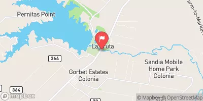 Nueces Rv Nr Mathis
|
35cfs |
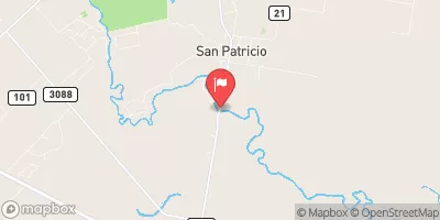 Nueces Rv At Bluntzer
|
21cfs |
 Lagarto Ck Nr George West
|
0cfs |
 Nueces Rv At Calallen
|
0cfs |
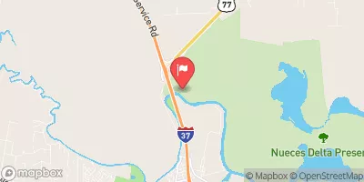 Rincon Bayou Channel Nr Calallen
|
1cfs |
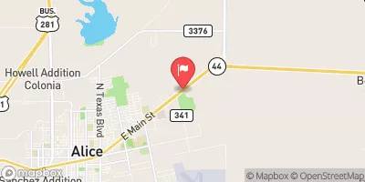 San Fernando Ck At Alice
|
1cfs |
Dam Data Reference
Condition Assessment
SatisfactoryNo existing or potential dam safety deficiencies are recognized. Acceptable performance is expected under all loading conditions (static, hydrologic, seismic) in accordance with the minimum applicable state or federal regulatory criteria or tolerable risk guidelines.
Fair
No existing dam safety deficiencies are recognized for normal operating conditions. Rare or extreme hydrologic and/or seismic events may result in a dam safety deficiency. Risk may be in the range to take further action. Note: Rare or extreme event is defined by the regulatory agency based on their minimum
Poor A dam safety deficiency is recognized for normal operating conditions which may realistically occur. Remedial action is necessary. POOR may also be used when uncertainties exist as to critical analysis parameters which identify a potential dam safety deficiency. Investigations and studies are necessary.
Unsatisfactory
A dam safety deficiency is recognized that requires immediate or emergency remedial action for problem resolution.
Not Rated
The dam has not been inspected, is not under state or federal jurisdiction, or has been inspected but, for whatever reason, has not been rated.
Not Available
Dams for which the condition assessment is restricted to approved government users.
Hazard Potential Classification
HighDams assigned the high hazard potential classification are those where failure or mis-operation will probably cause loss of human life.
Significant
Dams assigned the significant hazard potential classification are those dams where failure or mis-operation results in no probable loss of human life but can cause economic loss, environment damage, disruption of lifeline facilities, or impact other concerns. Significant hazard potential classification dams are often located in predominantly rural or agricultural areas but could be in areas with population and significant infrastructure.
Low
Dams assigned the low hazard potential classification are those where failure or mis-operation results in no probable loss of human life and low economic and/or environmental losses. Losses are principally limited to the owner's property.
Undetermined
Dams for which a downstream hazard potential has not been designated or is not provided.
Not Available
Dams for which the downstream hazard potential is restricted to approved government users.

 Wesley E Seale Dam
 Lk Corpus Christi Nr Mathis