Lk Sulphur Springs Nr Sulphur Springs Reservoir
As of July 21, 2026, Lk Sulphur Springs Nr Sulphur Springs is holding 459 ft of water — 100% of normal storage for this date. Storage data refreshed throughout the day.

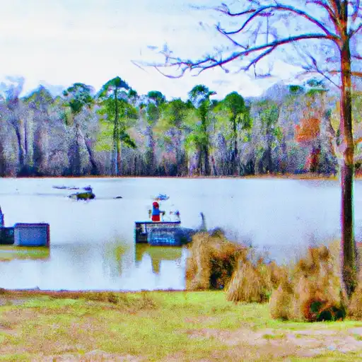
Lk Sulphur Springs Nr Sulphur Springs
LK Sulphur Springs is a natural spring located near Sulphur Springs, Texas. It has a rich history, beginning with the Caddo Indians who used the spring for its healing properties. Later, settlers used the spring for drinking water and baths. The hydrology of the spring is believed to be from the Carrizo-Wilcox Aquifer. The spring is known for its consistent water flow, which is used for agricultural purposes such as irrigation. There are also recreational activities available, including fishing and swimming. Snowpack providers are not applicable in this region as Texas has a subtropical climate. LK Sulphur Springs is a significant landmark in Texas, and continues to draw visitors with its natural beauty and unique history.
Daily levels at Lk Sulphur Springs Nr Sulphur Springs
Storage volume, pool elevation, and total release plotted from the operating agency's daily observations.
Lake or reservoir water surface elevation above NGVD 1929, ft
ft · code 62614
Plan around the weather
Same NOAA / yr.no feed Snoflo's iOS app uses. Watch the precipitation column on the meteogram -- rain on the basin upstream typically lifts inflow 24-72 hours later.
Next 5 days, hour by hour
Temperature line with weather symbols on top, snow + rain accumulation as columns, humidity as a dotted line.
5-day forecast table
Every 3 hours, broken out across temperature, snow, rain, humidity, and wind. Each cell is colour-coded relative to the column min/max.
| Time | Condition | Temp (°F) | Snow (in) | Rain (in) | Humidity (%) | Wind (mps) | Wind dir |
|---|---|---|---|---|---|---|---|
| Loading detailed forecast… | |||||||
15-day temperature & precipitation
Daily temperatures, snow, and rain projected over the next two weeks.
Nearby streamflow gauges
USGS streamgauges around Lk Sulphur Springs Nr Sulphur Springs -- inflows here typically show up in storage 24-72 hours later.
| Streamgauge | Discharge | View |
|---|---|---|
| S Sulphur Rv Nr Cooper | 6 cfs | → |
| S Sulphur At Commerce | 0 cfs | → |
| Middle Sulphur Rv At Commerce | · | → |
| N Sulphur Rv Nr Cooper | 4 cfs | → |
| Cowleech Fk Sabine Rv At Greenville | 0 cfs | → |
| Sabine Rv Nr Wills Point | 8 cfs | → |


About Lk Sulphur Springs Nr Sulphur Springs
Where does the data for Lk Sulphur Springs Nr Sulphur Springs come from?
Daily storage, pool elevation, and release rates are sourced from USGS, USBR, and USACE monitoring stations. Weather forecast comes from NOAA / yr.no -- the same feed Snoflo's iOS app uses.
How often is the report updated?
Storage observations are updated daily by the operating agency. The 15-day weather forecast refreshes throughout the day. Snoflo caches and renders the most recent observation -- check the "as of" timestamp on the storage card.
What does the Hazard hazard rating mean?
The Corps of Engineers' hazard potential classification grades probable consequences if the dam fails: High = probable loss of human life; Significant = no probable loss of human life but possible economic loss / environmental damage; Low = no probable loss of human life, only minor economic / environmental losses. See the Dam Data Reference card below for the full definitions.
What's "% of normal"?
The current storage value compared to the historical average storage on this calendar day. 100% = right on average; values above 100% mean above-normal storage (wet year); values below mean below-normal (dry year or drought).
Can I get alerts when storage crosses a threshold?
Yes -- alerts are managed in the Snoflo iOS app. Favorite this reservoir, set a threshold, and you'll get a push the moment conditions cross.