Lk Sweetwater Nr Sweetwater Reservoir
As of July 17, 2026, Lk Sweetwater Nr Sweetwater is holding 2,103 ft of water — 100% of normal storage for this date. Storage data refreshed throughout the day.

Lk Sweetwater Nr Sweetwater
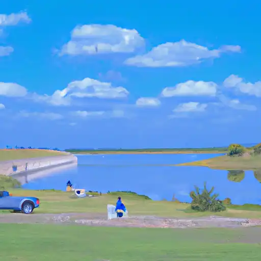
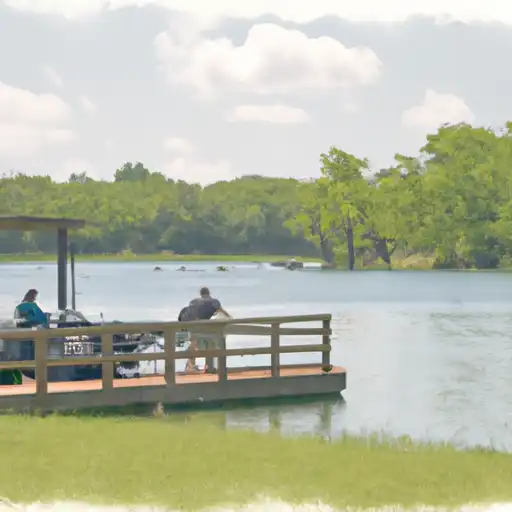
LK Sweetwater Reservoir is a man-made lake located in Sweetwater, Texas. The reservoir was created in 1973 by damming the Colorado River. The lake is the primary surface water source for the city of Sweetwater and the surrounding area. The hydrology of the reservoir is important for the local agriculture industry, as well as for recreational activities such as fishing and boating. The lake is also used for snowpack and surface water flow management. The primary providers of surface water to the reservoir are the Colorado River Municipal Water District and the West Central Texas Municipal Water District. The lake is a popular destination for fishing and boating, and is surrounded by parks and recreational areas. Additionally, the lake serves as a critical water source for agricultural irrigation in the region.
Daily levels at Lk Sweetwater Nr Sweetwater
Storage volume, pool elevation, and total release plotted from the operating agency's daily observations.
Lake or reservoir water surface elevation above NGVD 1929, ft
ft · code 62614
Plan around the weather
Same NOAA / yr.no feed Snoflo's iOS app uses. Watch the precipitation column on the meteogram -- rain on the basin upstream typically lifts inflow 24-72 hours later.
Next 5 days, hour by hour
Temperature line with weather symbols on top, snow + rain accumulation as columns, humidity as a dotted line.
5-day forecast table
Every 3 hours, broken out across temperature, snow, rain, humidity, and wind. Each cell is colour-coded relative to the column min/max.
| Time | Condition | Temp (°F) | Snow (in) | Rain (in) | Humidity (%) | Wind (mps) | Wind dir |
|---|---|---|---|---|---|---|---|
| Loading detailed forecast… | |||||||
15-day temperature & precipitation
Daily temperatures, snow, and rain projected over the next two weeks.
Nearby streamflow gauges
USGS streamgauges around Lk Sweetwater Nr Sweetwater -- inflows here typically show up in storage 24-72 hours later.
| Streamgauge | Discharge | View |
|---|---|---|
| Clear Fk Brazos Rv Nr Noodle | 7 cfs | → |
| Clear Fk Brazos Rv Nr Roby | 1 cfs | → |
| Clear Fk Brazos Rv At Hawley | · | → |
| Cat Claw Ck At Abilene | 1 cfs | → |
| Colorado Rv At Colorado City | 25 cfs | → |
| Cedar Ck At Ih 20 | 1 cfs | → |


About Lk Sweetwater Nr Sweetwater
Where does the data for Lk Sweetwater Nr Sweetwater come from?
Daily storage, pool elevation, and release rates are sourced from USGS, USBR, and USACE monitoring stations. Weather forecast comes from NOAA / yr.no -- the same feed Snoflo's iOS app uses.
How often is the report updated?
Storage observations are updated daily by the operating agency. The 15-day weather forecast refreshes throughout the day. Snoflo caches and renders the most recent observation -- check the "as of" timestamp on the storage card.
What does the Hazard hazard rating mean?
The Corps of Engineers' hazard potential classification grades probable consequences if the dam fails: High = probable loss of human life; Significant = no probable loss of human life but possible economic loss / environmental damage; Low = no probable loss of human life, only minor economic / environmental losses. See the Dam Data Reference card below for the full definitions.
What's "% of normal"?
The current storage value compared to the historical average storage on this calendar day. 100% = right on average; values above 100% mean above-normal storage (wet year); values below mean below-normal (dry year or drought).
Can I get alerts when storage crosses a threshold?
Yes -- alerts are managed in the Snoflo iOS app. Favorite this reservoir, set a threshold, and you'll get a push the moment conditions cross.