Martin Lk Nr Tatum Reservoir
As of July 18, 2026, Martin Lk Nr Tatum is holding 305 ft of water — 100% of normal storage for this date. Storage data refreshed throughout the day.

Martin Lk Nr Tatum
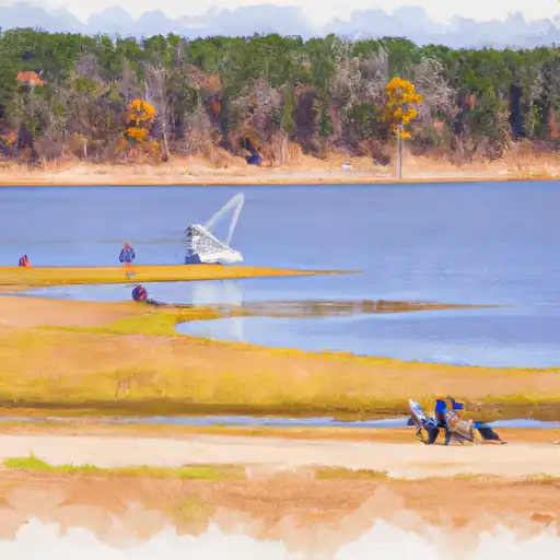
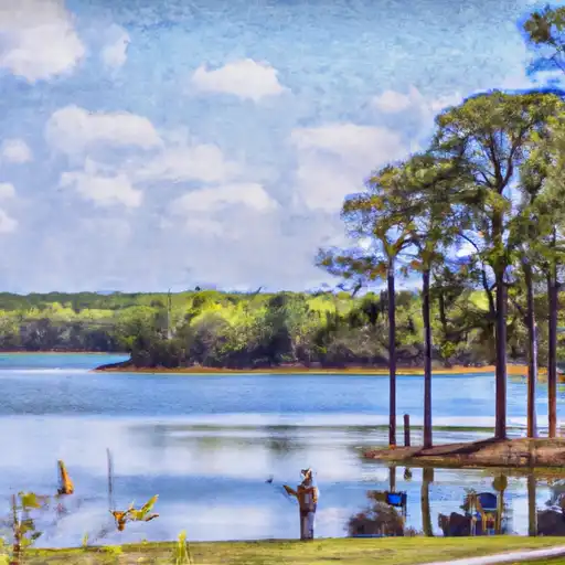
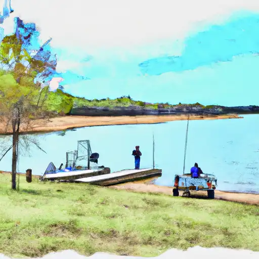
Martin Lake in Tatum, Texas is a reservoir situated on the Sabine River that was created in the 1970s for flood control and hydroelectric power generation. The lake has a surface area of 5,930 acres and a maximum depth of 40 feet. It is fed by the Sabine River, which also supplies water to nearby Lake Palestine. Martin Lake has a surface flow component that is augmented by rainfall and snowmelt runoff, with the Sabine River providing the primary source of flow. The lake has important recreational and agricultural uses, including fishing, boating, and irrigation for local farms. The surrounding area is rich in natural resources, including forests and wildlife habitats, and attracts visitors from across the state for outdoor activities.
Daily levels at Martin Lk Nr Tatum
Storage volume, pool elevation, and total release plotted from the operating agency's daily observations.
Lake or reservoir water surface elevation above NGVD 1929, ft
ft · code 62614
Plan around the weather
Same NOAA / yr.no feed Snoflo's iOS app uses. Watch the precipitation column on the meteogram -- rain on the basin upstream typically lifts inflow 24-72 hours later.
Next 5 days, hour by hour
Temperature line with weather symbols on top, snow + rain accumulation as columns, humidity as a dotted line.
5-day forecast table
Every 3 hours, broken out across temperature, snow, rain, humidity, and wind. Each cell is colour-coded relative to the column min/max.
| Time | Condition | Temp (°F) | Snow (in) | Rain (in) | Humidity (%) | Wind (mps) | Wind dir |
|---|---|---|---|---|---|---|---|
| Loading detailed forecast… | |||||||
15-day temperature & precipitation
Daily temperatures, snow, and rain projected over the next two weeks.
Nearby streamflow gauges
USGS streamgauges around Martin Lk Nr Tatum -- inflows here typically show up in storage 24-72 hours later.
| Streamgauge | Discharge | View |
|---|---|---|
| Sabine Rv Bl Longview | 463 cfs | → |
| Sabine Rv Nr Beckville | 500 cfs | → |
| Sabine Rv Abv Longview | 321 cfs | → |
| Sabine Rv Nr Carthage | 7,250 cfs | → |
| Rabbit Ck At Kilgore | 24 cfs | → |
| Sabine Rv Nr Gladewater | 312 cfs | → |


About Martin Lk Nr Tatum
Where does the data for Martin Lk Nr Tatum come from?
Daily storage, pool elevation, and release rates are sourced from USGS, USBR, and USACE monitoring stations. Weather forecast comes from NOAA / yr.no -- the same feed Snoflo's iOS app uses.
How often is the report updated?
Storage observations are updated daily by the operating agency. The 15-day weather forecast refreshes throughout the day. Snoflo caches and renders the most recent observation -- check the "as of" timestamp on the storage card.
What does the Hazard hazard rating mean?
The Corps of Engineers' hazard potential classification grades probable consequences if the dam fails: High = probable loss of human life; Significant = no probable loss of human life but possible economic loss / environmental damage; Low = no probable loss of human life, only minor economic / environmental losses. See the Dam Data Reference card below for the full definitions.
What's "% of normal"?
The current storage value compared to the historical average storage on this calendar day. 100% = right on average; values above 100% mean above-normal storage (wet year); values below mean below-normal (dry year or drought).
Can I get alerts when storage crosses a threshold?
Yes -- alerts are managed in the Snoflo iOS app. Favorite this reservoir, set a threshold, and you'll get a push the moment conditions cross.