Murvaul Lk Nr Gary Reservoir
As of July 21, 2026, Murvaul Lk Nr Gary is holding 265 ft of water — 100% of normal storage for this date. Storage data refreshed throughout the day.

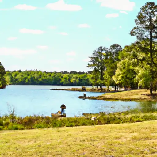
Murvaul Lk Nr Gary
Murvaul Lake is a reservoir located in Panola County, Texas, near the town of Gary. It was created in 1958 as a result of the construction of a dam on the Murvaul Creek. The lake is fed by several small creeks and is part of the Cypress Bayou watershed. The hydrology of the lake is closely monitored by the Sabine River Authority, which manages the lake and surrounding lands.
The lake is primarily used for recreational purposes, including fishing, boating, and camping. It is stocked with a variety of fish species, including largemouth bass, catfish, crappie, and sunfish. The lake also provides water for irrigation in the surrounding agricultural areas.
During periods of heavy rainfall, the lake can experience significant surface flow, which can lead to flooding in downstream areas. The lake also receives some snowpack runoff from nearby areas, which can contribute to its water levels.
Overall, Murvaul Lake is an important resource for both the local community and the surrounding region, providing water for irrigation and recreational opportunities for residents and visitors alike.
Daily levels at Murvaul Lk Nr Gary
Storage volume, pool elevation, and total release plotted from the operating agency's daily observations.
Lake or reservoir water surface elevation above NGVD 1929, ft
ft · code 62614
Plan around the weather
Same NOAA / yr.no feed Snoflo's iOS app uses. Watch the precipitation column on the meteogram -- rain on the basin upstream typically lifts inflow 24-72 hours later.
Next 5 days, hour by hour
Temperature line with weather symbols on top, snow + rain accumulation as columns, humidity as a dotted line.
5-day forecast table
Every 3 hours, broken out across temperature, snow, rain, humidity, and wind. Each cell is colour-coded relative to the column min/max.
| Time | Condition | Temp (°F) | Snow (in) | Rain (in) | Humidity (%) | Wind (mps) | Wind dir |
|---|---|---|---|---|---|---|---|
| Loading detailed forecast… | |||||||
15-day temperature & precipitation
Daily temperatures, snow, and rain projected over the next two weeks.
Nearby streamflow gauges
USGS streamgauges around Murvaul Lk Nr Gary -- inflows here typically show up in storage 24-72 hours later.
| Streamgauge | Discharge | View |
|---|---|---|
| Sabine Rv Nr Carthage | 7,250 cfs | → |
| Sabine Rv Nr Beckville | 339 cfs | → |
| E Fk Angelina Rv Nr Cushing | 12 cfs | → |
| Bayou Grand Cane Near Stanley | · | → |
| Sabine Rv Bl Longview | 325 cfs | → |
| Bayou Lanana At Nacogdoches | 9 cfs | → |


About Murvaul Lk Nr Gary
Where does the data for Murvaul Lk Nr Gary come from?
Daily storage, pool elevation, and release rates are sourced from USGS, USBR, and USACE monitoring stations. Weather forecast comes from NOAA / yr.no -- the same feed Snoflo's iOS app uses.
How often is the report updated?
Storage observations are updated daily by the operating agency. The 15-day weather forecast refreshes throughout the day. Snoflo caches and renders the most recent observation -- check the "as of" timestamp on the storage card.
What does the Hazard hazard rating mean?
The Corps of Engineers' hazard potential classification grades probable consequences if the dam fails: High = probable loss of human life; Significant = no probable loss of human life but possible economic loss / environmental damage; Low = no probable loss of human life, only minor economic / environmental losses. See the Dam Data Reference card below for the full definitions.
What's "% of normal"?
The current storage value compared to the historical average storage on this calendar day. 100% = right on average; values above 100% mean above-normal storage (wet year); values below mean below-normal (dry year or drought).
Can I get alerts when storage crosses a threshold?
Yes -- alerts are managed in the Snoflo iOS app. Favorite this reservoir, set a threshold, and you'll get a push the moment conditions cross.