


Scs-Upper Washita Creek Site-046 Reservoir Report
Last Updated: May 6, 2026
°F
°F
mph
Wind
%
Humidity
SCS-Upper Washita Creek Site-046 is a state-regulated earth dam located in Roger Mills County, Oklahoma.
Summary
Designed by USDA NRCS and completed in 1961, this dam serves the primary purpose of flood risk reduction along TR-Rush Creek. With a height of 39 feet and a hydraulic height of 35 feet, this dam has a storage capacity of 818 acre-feet and a normal storage level of 211 acre-feet.
The dam features a controlled spillway with a width of 2 feet and an outlet gate consisting of a single valve. Despite being classified as having a high hazard potential, the condition of the dam is assessed as fair. The last inspection date was in January 2012, with an inspection frequency of every 1 year. With a risk assessment rating of very high (1), it is crucial to ensure that risk management measures are in place to mitigate any potential hazards associated with the dam.
Overall, SCS-Upper Washita Creek Site-046 plays a vital role in flood risk reduction in the region and is subject to state regulations and inspections to ensure its safety and integrity. As climate change continues to impact water resources, maintaining the infrastructure of dams like this one is essential to protect communities and the environment from potential disasters.
Regional Streamflow Levels
15-Day Long Term Forecast
Year Completed |
1961 |
Dam Length |
1275 |
Dam Height |
39 |
River Or Stream |
TR-RUSH CREEK |
Primary Dam Type |
Earth |
Surface Area |
34 |
Hydraulic Height |
35 |
Nid Storage |
818 |
Structural Height |
39 |
Outlet Gates |
Valve - 1 |
Hazard Potential |
High |
Foundations |
Soil |
Nid Height |
39 |
Seasonal Comparison
5-Day Hourly Forecast Detail
Dam Data Reference
Condition Assessment
SatisfactoryNo existing or potential dam safety deficiencies are recognized. Acceptable performance is expected under all loading conditions (static, hydrologic, seismic) in accordance with the minimum applicable state or federal regulatory criteria or tolerable risk guidelines.
Fair
No existing dam safety deficiencies are recognized for normal operating conditions. Rare or extreme hydrologic and/or seismic events may result in a dam safety deficiency. Risk may be in the range to take further action. Note: Rare or extreme event is defined by the regulatory agency based on their minimum
Poor A dam safety deficiency is recognized for normal operating conditions which may realistically occur. Remedial action is necessary. POOR may also be used when uncertainties exist as to critical analysis parameters which identify a potential dam safety deficiency. Investigations and studies are necessary.
Unsatisfactory
A dam safety deficiency is recognized that requires immediate or emergency remedial action for problem resolution.
Not Rated
The dam has not been inspected, is not under state or federal jurisdiction, or has been inspected but, for whatever reason, has not been rated.
Not Available
Dams for which the condition assessment is restricted to approved government users.
Hazard Potential Classification
HighDams assigned the high hazard potential classification are those where failure or mis-operation will probably cause loss of human life.
Significant
Dams assigned the significant hazard potential classification are those dams where failure or mis-operation results in no probable loss of human life but can cause economic loss, environment damage, disruption of lifeline facilities, or impact other concerns. Significant hazard potential classification dams are often located in predominantly rural or agricultural areas but could be in areas with population and significant infrastructure.
Low
Dams assigned the low hazard potential classification are those where failure or mis-operation results in no probable loss of human life and low economic and/or environmental losses. Losses are principally limited to the owner's property.
Undetermined
Dams for which a downstream hazard potential has not been designated or is not provided.
Not Available
Dams for which the downstream hazard potential is restricted to approved government users.
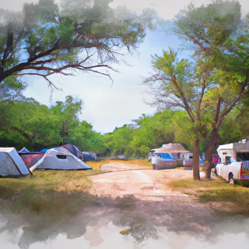
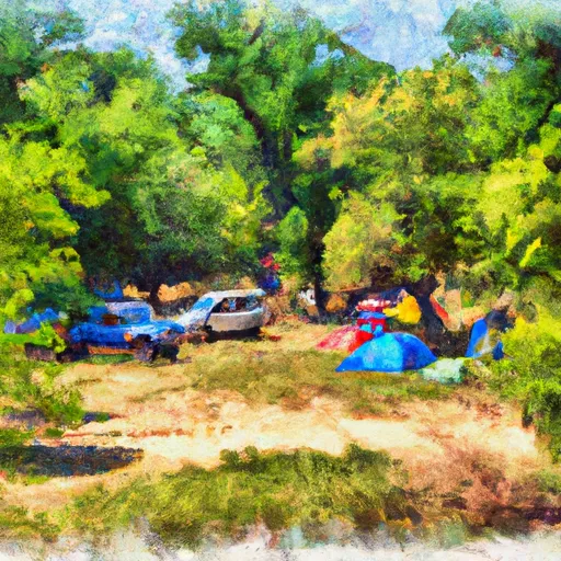
Area Campgrounds
| Location | Reservations | Toilets |
|---|---|---|
 Skipout
|
||
 Skipout Campground
|
||
 Spring Creek Campground
|
||
 Spring Creek Dispersed Sites
|
||
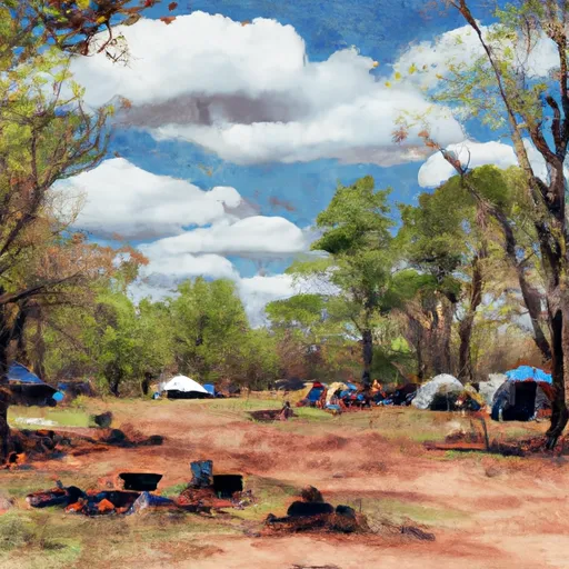 Black Kettle Campground
|
||
 Lake Marvin
|
 Foss Reservoir Near Foss