


Summary
The earth dam, completed in 1955, stands at a height of 30 feet and has a normal storage capacity of 528 acre-feet. With a surface area of 130 acres and a maximum discharge of 16,845 cubic feet per second, the dam serves multiple purposes including flood control and water supply for the surrounding area.
Despite its low hazard potential, Lake Schultz is deemed to have a very high risk assessment, signaling the importance of ongoing risk management measures. The dam is equipped with a controlled spillway and a single valve outlet gate. While the dam's condition remains unrated as of the last inspection in 2010, its inspection frequency is set at every five years to ensure structural integrity and safety. The surrounding area is at risk of inundation, highlighting the need for emergency preparedness and risk mitigation strategies.
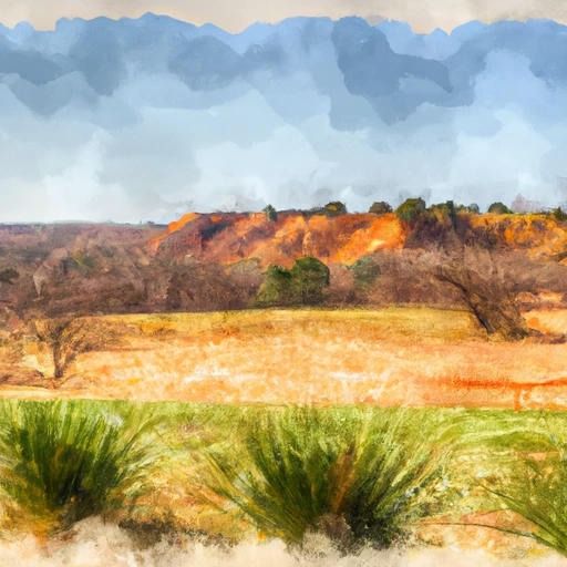
Lake Schultz, nestled in the picturesque landscape of Texas County, Oklahoma, is a vital water resource for the region. As a climate enthusiast or water resource advocate, you may find interest in the dam's design and engineering details, as well as the regulatory oversight provided by the state agency. The combination of historical significance, environmental impact, and risk assessment make Lake Schultz a compelling subject for further exploration in the realm of water resource management and climate resilience.
Regional Streamflow Levels
 Palo Duro Ck Nr Spearman
|
0cfs |
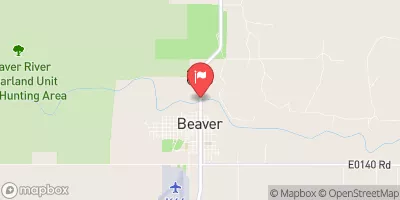 Beaver River At Beaver
|
0cfs |
 Cimarron River Near Forgan
|
16cfs |
 Wolf Ck At Lipscomb
|
0cfs |
15-Day Long Term Forecast
Year Completed |
1955 |
Dam Length |
1000 |
Dam Height |
30 |
River Or Stream |
HACKBERRY CR |
Primary Dam Type |
Earth |
Surface Area |
130 |
Hydraulic Height |
15 |
Nid Storage |
540 |
Structural Height |
30 |
Outlet Gates |
Valve - 1 |
Hazard Potential |
Low |
Foundations |
Soil |
Nid Height |
30 |
Seasonal Comparison
5-Day Hourly Forecast Detail
Dam Data Reference
Condition Assessment
SatisfactoryNo existing or potential dam safety deficiencies are recognized. Acceptable performance is expected under all loading conditions (static, hydrologic, seismic) in accordance with the minimum applicable state or federal regulatory criteria or tolerable risk guidelines.
Fair
No existing dam safety deficiencies are recognized for normal operating conditions. Rare or extreme hydrologic and/or seismic events may result in a dam safety deficiency. Risk may be in the range to take further action. Note: Rare or extreme event is defined by the regulatory agency based on their minimum
Poor A dam safety deficiency is recognized for normal operating conditions which may realistically occur. Remedial action is necessary. POOR may also be used when uncertainties exist as to critical analysis parameters which identify a potential dam safety deficiency. Investigations and studies are necessary.
Unsatisfactory
A dam safety deficiency is recognized that requires immediate or emergency remedial action for problem resolution.
Not Rated
The dam has not been inspected, is not under state or federal jurisdiction, or has been inspected but, for whatever reason, has not been rated.
Not Available
Dams for which the condition assessment is restricted to approved government users.
Hazard Potential Classification
HighDams assigned the high hazard potential classification are those where failure or mis-operation will probably cause loss of human life.
Significant
Dams assigned the significant hazard potential classification are those dams where failure or mis-operation results in no probable loss of human life but can cause economic loss, environment damage, disruption of lifeline facilities, or impact other concerns. Significant hazard potential classification dams are often located in predominantly rural or agricultural areas but could be in areas with population and significant infrastructure.
Low
Dams assigned the low hazard potential classification are those where failure or mis-operation results in no probable loss of human life and low economic and/or environmental losses. Losses are principally limited to the owner's property.
Undetermined
Dams for which a downstream hazard potential has not been designated or is not provided.
Not Available
Dams for which the downstream hazard potential is restricted to approved government users.
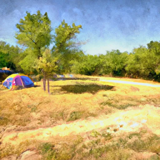
Area Campgrounds
| Location | Reservations | Toilets |
|---|---|---|
 Hardesty Park - Optima Lake
|
||
 Hardesty Park
|
||
 Angler Point
|
||
 Prairie Dog Point
|
||
 Lake Palo Duro
|
||
 Whigham Park - Perryton
|
 Palo Duro Res Nr Spearman
 Arkalon Park Ponds
 Wilburton Pond Fishing Site
 Mallard Ponds Fishing Site
 Cimarron Ponds Fishing Site