Crappie Tank Dam Dam

Crappie Tank Dam
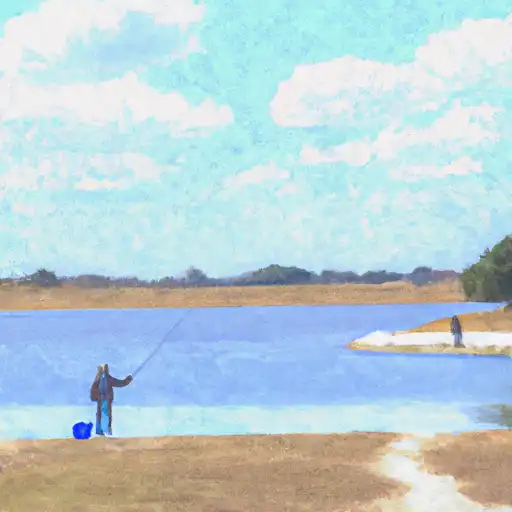
Located in Knox, Texas, Crappie Tank Dam is a privately owned structure built in 1967 with a primary purpose designated as 'Other'. This earth dam stands at a height of 16 feet and spans a length of 220 feet, creating a reservoir with a storage capacity of 128 acre-feet. The dam, built on Spring Creek, serves as a vital water resource for the surrounding area with a normal storage capacity of 60 acre-feet.
Despite its modest size, Crappie Tank Dam poses a high risk due to its condition being labeled as 'Not Rated'. The lack of a spillway and limited emergency preparedness measures could potentially lead to hazardous situations during extreme weather events. The dam's location within the jurisdiction of the state of Texas raises concerns about its regulatory oversight and enforcement, highlighting the need for thorough inspection and maintenance protocols to ensure the safety and stability of the structure.
For water resource and climate enthusiasts, Crappie Tank Dam presents an intriguing case study in dam infrastructure management and risk assessment. With its unique design and limited regulatory oversight, the dam serves as a reminder of the importance of proactive monitoring and maintenance to mitigate potential hazards and protect the surrounding community and environment from the impacts of dam failures.
Plan around the weather
Same NOAA / yr.no feed Snoflo's iOS app uses. Watch the precipitation column on the meteogram -- rain on the basin upstream typically lifts inflow 24-72 hours later.
Next 5 days, hour by hour
Temperature line with weather symbols on top, snow + rain accumulation as columns, humidity as a dotted line.
5-day forecast table
Every 3 hours, broken out across temperature, snow, rain, humidity, and wind. Each cell is colour-coded relative to the column min/max.
| Time | Condition | Temp (°F) | Snow (in) | Rain (in) | Humidity (%) | Wind (mps) | Wind dir |
|---|---|---|---|---|---|---|---|
| Loading detailed forecast… | |||||||
15-day temperature & precipitation
Daily temperatures, snow, and rain projected over the next two weeks.
Nearby streamflow gauges
USGS streamgauges around Crappie Tank Dam -- inflows here typically show up in storage 24-72 hours later.
| Streamgauge | Discharge | View |
|---|---|---|
| S Wichita Rv Nr Benjamin | · | → |
| N Wichita Rv Nr Truscott | · | → |
| Wichita Rv Nr Seymour | 3 cfs | → |
| Millers Ck Nr Munday | 11 cfs | → |
| Brazos Rv At Seymour | 13 cfs | → |
| Dmf Brazos Rv Nr Rule | 2 cfs | → |


About Crappie Tank Dam
Where does the data for Crappie Tank Dam come from?
Structural and regulatory data come from the U.S. Army Corps of Engineers' National Inventory of Dams (NID). Weather forecast comes from NOAA / yr.no -- the same feed Snoflo's iOS app uses.
How often is the report updated?
NID structural data refreshes annually as the Corps publishes updated assessments. The weather forecast refreshes throughout the day.
What does the Not Available hazard rating mean?
The Corps of Engineers' hazard potential classification grades probable consequences if the dam fails: High = probable loss of human life; Significant = no probable loss of human life but possible economic loss / environmental damage; Low = no probable loss of human life, only minor economic / environmental losses. See the Dam Data Reference card below for the full definitions.
What's "% of normal"?
The current storage value compared to the historical average storage on this calendar day. 100% = right on average; values above 100% mean above-normal storage (wet year); values below mean below-normal (dry year or drought).
Can I get alerts when storage crosses a threshold?
Yes -- alerts are managed in the Snoflo iOS app. Favorite this dam, set a threshold, and you'll get a push the moment conditions cross.
Dam data reference
Condition Assessment
- Satisfactory
- No existing or potential dam safety deficiencies are recognized. Acceptable performance is expected under all loading conditions (static, hydrologic, seismic) in accordance with the minimum applicable state or federal regulatory criteria or tolerable risk guidelines.
- Fair
- No existing dam safety deficiencies are recognized for normal operating conditions. Rare or extreme hydrologic and/or seismic events may result in a dam safety deficiency. Risk may be in the range to take further action.
- Poor
- A dam safety deficiency is recognized for normal operating conditions which may realistically occur. Remedial action is necessary. POOR may also be used when uncertainties exist as to critical analysis parameters which identify a potential dam safety deficiency.
- Unsatisfactory
- A dam safety deficiency is recognized that requires immediate or emergency remedial action for problem resolution.
- Not Rated
- The dam has not been inspected, is not under state or federal jurisdiction, or has been inspected but, for whatever reason, has not been rated.
Hazard Potential Classification
- High
- Dams assigned the high hazard potential classification are those where failure or mis-operation will probably cause loss of human life.
- Significant
- Dams assigned the significant hazard potential classification are those dams where failure or mis-operation results in no probable loss of human life but can cause economic loss, environmental damage, disruption of lifeline facilities, or impact other concerns. Significant hazard potential classification dams are often located in predominantly rural or agricultural areas but could be in areas with population and significant infrastructure.
- Low
- Dams assigned the low hazard potential classification are those where failure or mis-operation results in no probable loss of human life and low economic and/or environmental losses. Losses are principally limited to the owner's property.
- Undetermined
- Dams for which a downstream hazard potential has not been designated or is not provided.