North Zulch Reservoir Dam Dam

North Zulch Reservoir Dam
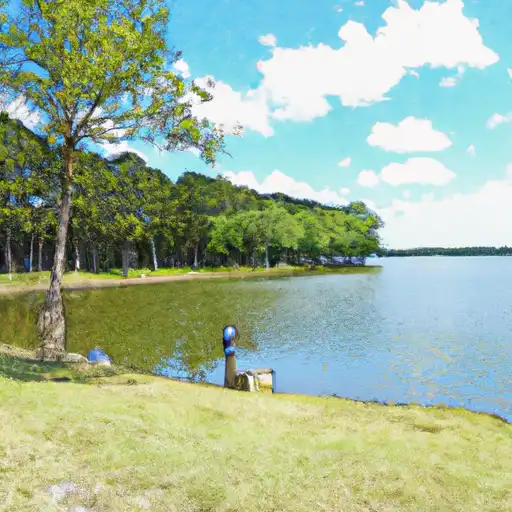
The North Zulch Reservoir Dam in Madison, Texas, stands as a vital infrastructure for water supply in the region. Completed in 1964, this earth dam with a height of 18 feet and a length of 1980 feet serves the purpose of storing water from the TR-Shepherd Creek. With a storage capacity of 230 acre-feet, the dam plays a crucial role in providing a reliable water source for the surrounding area, with a normal storage level of 167 acre-feet.
Despite its age, the North Zulch Reservoir Dam has a high risk assessment due to its unknown condition assessment and hazard potential. The dam lacks a spillway and is not regulated by the state, which raises concerns about its safety and potential impact in case of a failure. The last inspection in 1992 highlighted the need for regular monitoring and maintenance to ensure the dam's structural integrity and lower the risk of potential disasters.
As a water resource and climate enthusiast, the North Zulch Reservoir Dam presents an intriguing case study of the challenges faced by aging infrastructure in meeting the growing demands for water supply. Its location in a high-risk area underscores the importance of proactive risk management and regular inspections to safeguard communities and the environment from the potential consequences of dam failure. With its historical significance and critical role in water supply, the North Zulch Reservoir Dam serves as a reminder of the ongoing need for investment in sustainable water infrastructure to address the impacts of climate change and ensure water security for future generations.
Plan around the weather
Same NOAA / yr.no feed Snoflo's iOS app uses. Watch the precipitation column on the meteogram -- rain on the basin upstream typically lifts inflow 24-72 hours later.
Next 5 days, hour by hour
Temperature line with weather symbols on top, snow + rain accumulation as columns, humidity as a dotted line.
5-day forecast table
Every 3 hours, broken out across temperature, snow, rain, humidity, and wind. Each cell is colour-coded relative to the column min/max.
| Time | Condition | Temp (°F) | Snow (in) | Rain (in) | Humidity (%) | Wind (mps) | Wind dir |
|---|---|---|---|---|---|---|---|
| Loading detailed forecast… | |||||||
15-day temperature & precipitation
Daily temperatures, snow, and rain projected over the next two weeks.
Nearby streamflow gauges
USGS streamgauges around North Zulch Reservoir Dam -- inflows here typically show up in storage 24-72 hours later.
| Streamgauge | Discharge | View |
|---|---|---|
| Navasota Rv At Old Spanish Rd Nr Bryan | 55 cfs | → |
| Navasota Rv Nr Easterly | 41 cfs | → |
| Bedias Ck Nr Madisonville | 175 cfs | → |
| Bee Ck Main At College Station | 0 cfs | → |
| Bee Ck Trib A At College Station | 0 cfs | → |
| Little Brazos Rv At Fm 485 Nr Hearne | 562 cfs | → |


About North Zulch Reservoir Dam
Where does the data for North Zulch Reservoir Dam come from?
Structural and regulatory data come from the U.S. Army Corps of Engineers' National Inventory of Dams (NID). Weather forecast comes from NOAA / yr.no -- the same feed Snoflo's iOS app uses.
How often is the report updated?
NID structural data refreshes annually as the Corps publishes updated assessments. The weather forecast refreshes throughout the day.
What does the Not Available hazard rating mean?
The Corps of Engineers' hazard potential classification grades probable consequences if the dam fails: High = probable loss of human life; Significant = no probable loss of human life but possible economic loss / environmental damage; Low = no probable loss of human life, only minor economic / environmental losses. See the Dam Data Reference card below for the full definitions.
What's "% of normal"?
The current storage value compared to the historical average storage on this calendar day. 100% = right on average; values above 100% mean above-normal storage (wet year); values below mean below-normal (dry year or drought).
Can I get alerts when storage crosses a threshold?
Yes -- alerts are managed in the Snoflo iOS app. Favorite this dam, set a threshold, and you'll get a push the moment conditions cross.
Dam data reference
Condition Assessment
- Satisfactory
- No existing or potential dam safety deficiencies are recognized. Acceptable performance is expected under all loading conditions (static, hydrologic, seismic) in accordance with the minimum applicable state or federal regulatory criteria or tolerable risk guidelines.
- Fair
- No existing dam safety deficiencies are recognized for normal operating conditions. Rare or extreme hydrologic and/or seismic events may result in a dam safety deficiency. Risk may be in the range to take further action.
- Poor
- A dam safety deficiency is recognized for normal operating conditions which may realistically occur. Remedial action is necessary. POOR may also be used when uncertainties exist as to critical analysis parameters which identify a potential dam safety deficiency.
- Unsatisfactory
- A dam safety deficiency is recognized that requires immediate or emergency remedial action for problem resolution.
- Not Rated
- The dam has not been inspected, is not under state or federal jurisdiction, or has been inspected but, for whatever reason, has not been rated.
Hazard Potential Classification
- High
- Dams assigned the high hazard potential classification are those where failure or mis-operation will probably cause loss of human life.
- Significant
- Dams assigned the significant hazard potential classification are those dams where failure or mis-operation results in no probable loss of human life but can cause economic loss, environmental damage, disruption of lifeline facilities, or impact other concerns. Significant hazard potential classification dams are often located in predominantly rural or agricultural areas but could be in areas with population and significant infrastructure.
- Low
- Dams assigned the low hazard potential classification are those where failure or mis-operation results in no probable loss of human life and low economic and/or environmental losses. Losses are principally limited to the owner's property.
- Undetermined
- Dams for which a downstream hazard potential has not been designated or is not provided.