Echo Reservoir Reservoir
As of July 17, 2026, Echo Reservoir is holding 33,907 acre-ft of water — 56% of normal storage for this date. Storage data refreshed throughout the day.

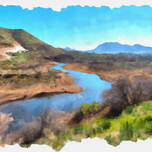
Echo Reservoir
Echo Reservoir is located in eastern Utah and was constructed in 1931 for irrigation purposes. It has a capacity of 74,000 acre-feet and is fed by the Weber River and the snowpack from the Uinta Mountains. The reservoir is managed by the Weber Basin Water Conservancy District and provides water for agriculture, drinking, and recreation. The reservoir is a popular spot for boating, fishing, camping, and swimming during the summer months. In the winter, the surrounding area is popular for snowmobiling and cross-country skiing. The Weber River provides important habitat for fish species such as brown, rainbow, and cutthroat trout. The reservoir is also home to a variety of bird species including bald eagles, ospreys, and herons.
Daily levels at Echo Reservoir
Storage volume, pool elevation, and total release plotted from the operating agency's daily observations.
Storage
acre-ft · code 17
Inflow
cfs · code 29
Pool Elevation
ft · code 49
Total Release
cfs · code 42
Plan around the weather
Same NOAA / yr.no feed Snoflo's iOS app uses. Watch the precipitation column on the meteogram -- rain on the basin upstream typically lifts inflow 24-72 hours later.
Next 5 days, hour by hour
Temperature line with weather symbols on top, snow + rain accumulation as columns, humidity as a dotted line.
5-day forecast table
Every 3 hours, broken out across temperature, snow, rain, humidity, and wind. Each cell is colour-coded relative to the column min/max.
| Time | Condition | Temp (°F) | Snow (in) | Rain (in) | Humidity (%) | Wind (mps) | Wind dir |
|---|---|---|---|---|---|---|---|
| Loading detailed forecast… | |||||||
15-day temperature & precipitation
Daily temperatures, snow, and rain projected over the next two weeks.
Nearby streamflow gauges
USGS streamgauges around Echo Reservoir -- inflows here typically show up in storage 24-72 hours later.
| Streamgauge | Discharge | View |
|---|---|---|
| Weber River At Echo | 382 cfs | → |
| Chalk Creek At Coalville | 9 cfs | → |
| Weber River Near Coalville | 253 cfs | → |
| East Canyon Creek Near Morgan | 80 cfs | → |
| East Canyon Creek Ab East Cyn Res Nr Morgan | 13 cfs | → |
| Weber River Near Wanship | 186 cfs | → |


About Echo Reservoir
Where does the data for Echo Reservoir come from?
Daily storage, pool elevation, and release rates are sourced from USGS, USBR, and USACE monitoring stations. Weather forecast comes from NOAA / yr.no -- the same feed Snoflo's iOS app uses.
How often is the report updated?
Storage observations are updated daily by the operating agency. The 15-day weather forecast refreshes throughout the day. Snoflo caches and renders the most recent observation -- check the "as of" timestamp on the storage card.
What does the Hazard hazard rating mean?
The Corps of Engineers' hazard potential classification grades probable consequences if the dam fails: High = probable loss of human life; Significant = no probable loss of human life but possible economic loss / environmental damage; Low = no probable loss of human life, only minor economic / environmental losses. See the Dam Data Reference card below for the full definitions.
What's "% of normal"?
The current storage value compared to the historical average storage on this calendar day. 100% = right on average; values above 100% mean above-normal storage (wet year); values below mean below-normal (dry year or drought).
Can I get alerts when storage crosses a threshold?
Yes -- alerts are managed in the Snoflo iOS app. Favorite this reservoir, set a threshold, and you'll get a push the moment conditions cross.